De Cocksdorp
Located in Texel Municipality, North Holland Coordinates: 53°09′24″ N 4°52′15″ E
- Population
- 540
- 540
- Elevation
- 1 m
- above sea level
- Local time
- UTC+01:00
- Europe/Amsterdam · UTC+01:00
About De Cocksdorp
De Cocksdorp is a village. Location: Texel Municipality, North Holland. Population: 540. Elevation: 1 m.
De Cocksdorp (Dutch pronunciation: [də ˈkɔksdɔr(ə)p]) is a village town in the Dutch province of North Holland. It is a part of the municipality of Texel, and lies about 25 km north of Den Helder. It is the newest village on the island.
Read more on Wikipedia Text: Wikipedia contributors · CC BY-SA 4.0 · shortened
In comparison
- No. 6 of 7 places in Texel Municipality by population
- Nearest larger town: Oosterend, 8 km S
- 2 sights and natural places within 10 km Texel, IJzerenkaap
Nearby attractions & nature
Everything nearby-
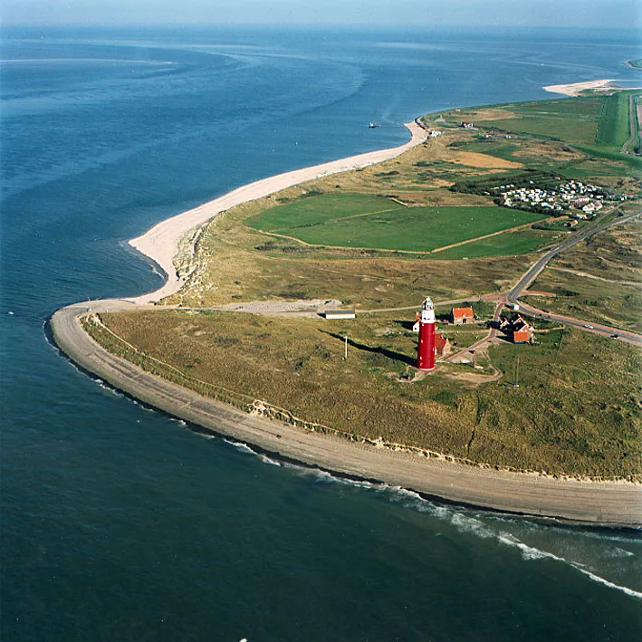 Texel Island, Texel Municipality8.5 km S
-
IJzerenkaap Natural site, Texel Municipality8.9 km S
-
Ockesnol Mountain, Texel Municipality15 km SW
-
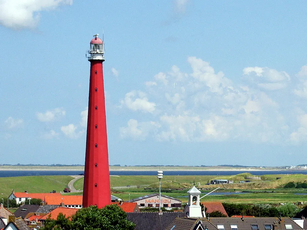 Lange Jaap Landmark, Den Helder Municipality24 km SW
-
Onrust Beach, Texel Municipality21 km SW
-
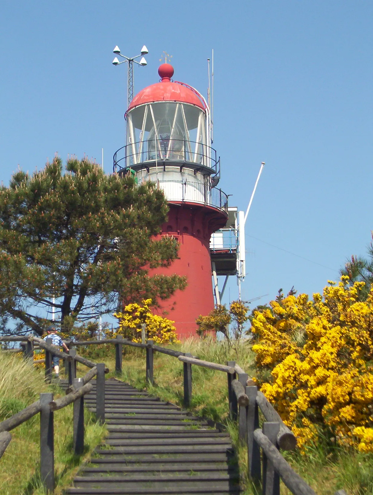 Vuurduin Landmark, Gemeente Vlieland20 km NE
Sources & licences
Data last updated: · 2 independent sources