Texel Municipality
Located in North Holland, The Netherlands Coordinates: 53°04′44″ N 4°48′42″ E
- Population
- 13,656
- 13.7K
- Elevation
- -2 m
- above sea level
- Local time
- UTC+01:00
- Europe/Amsterdam · UTC+01:00
- Places inside
- 13
- listed under Texel Municipality
About Texel Municipality
Texel Municipality is a district. Location: North Holland, The Netherlands. Population: 13,656.
In comparison
- 3 sights and natural places within 10 km Texel, IJzerenkaap
- Listed here: Village: 8, Beach: 1, Island: 1, Mountain: 1
Places in Texel Municipality
13 places-
Texel Island13.7K
-
Den Burg Town6.5K
-
Oudeschild Village1.2K
-
De Koog Village1K
-
Oosterend Village935
-
Den Hoorn Village915
-
De Cocksdorp Village540
-
De Waal Village205
-
IJzerenkaap Natural site
-
Ockesnol Mountain
-
Onrust Beach
-
Oost Village
-
Spang Village
Nearby attractions & nature
Everything nearby-
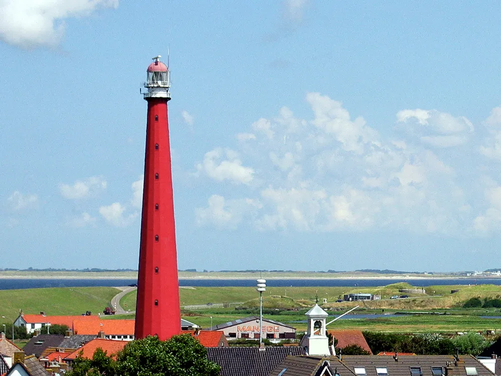 Lange Jaap Landmark, Den Helder Municipality15 km SW
-
Strandslag Huisduinen Beach, North Holland16 km SW
-
Strandslag Groote Keeten Beach, North Holland25 km S
-
Strandslag Duinoord Beach, Den Helder Municipality17 km S
-
Strandslag Falga Beach, Den Helder Municipality19 km S
-
Strandslag Zandloper Beach, Den Helder Municipality21 km S
Sources & licences
Data last updated: