- Local time
- UTC+01:00
- Europe/Amsterdam · UTC+01:00
- Elevation
- 39 m
- above sea level
- Airports
- GRQ Groningen Airport Eelde103 km
- AMS Amsterdam Airport Schiphol112 km
About Vuurduin
Vuurduin is a landmark. Location: Gemeente Vlieland, Friesland.
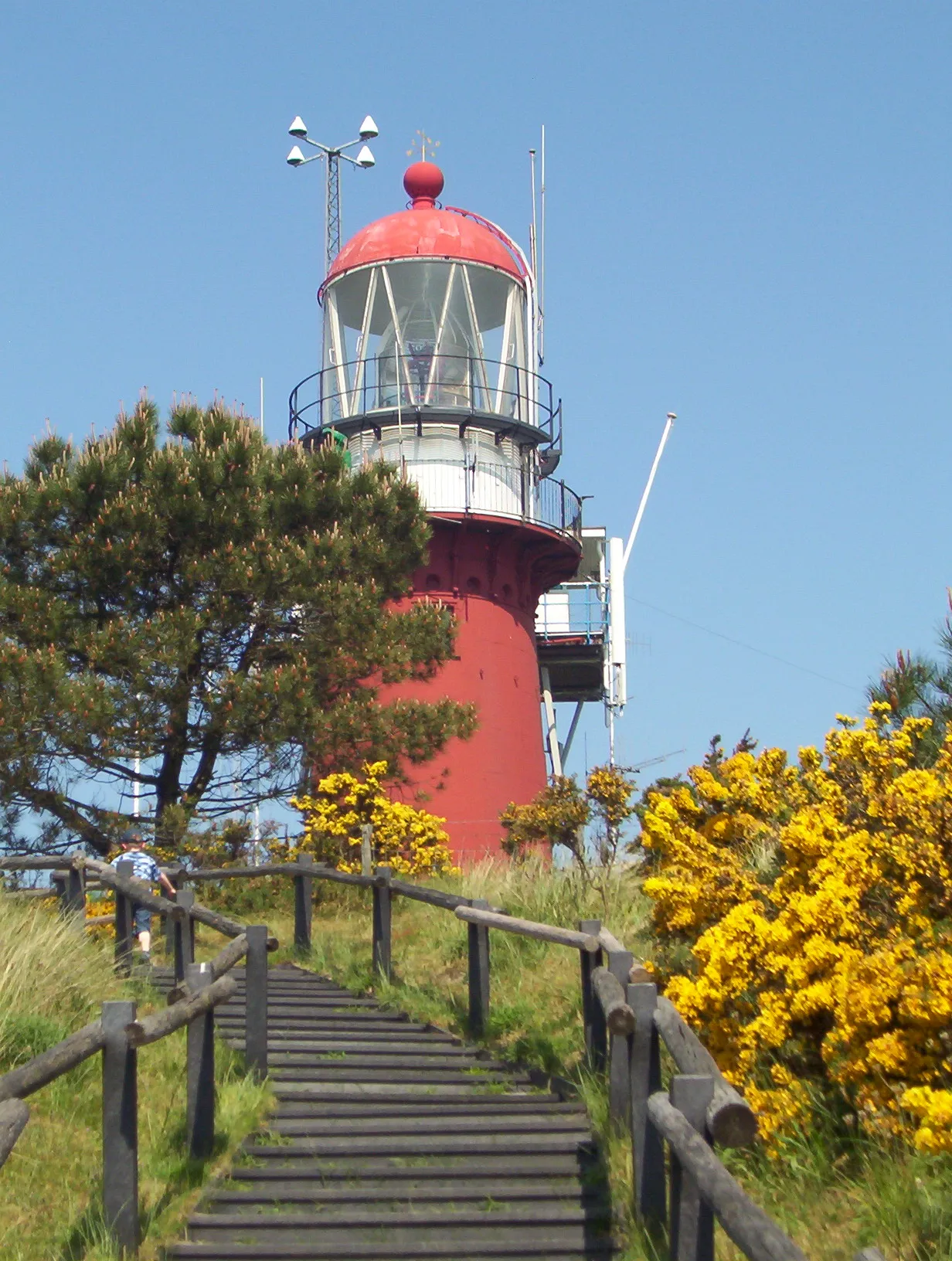
Vuurduin is a lighthouse on the Dutch island Vlieland. The tower is the top part of the former front light of the leading lights in IJmuiden, designed by Quirinus Harder. The lighthouse was placed on Vlieland in 1909, on top of one of the Vuurboetsduin, one of the highest sand dunes (at 45 metres) in the Netherlands. A lookout tower was built next to the lighthouse in 1929. In 1986, the cupola was renovated. While a lighthouse keeper still attends, the lighthouse is fully automated.
Source: Wikipedia · CC BY-SA 4.0
At a glance
- Built
- 1909
- Architect
- Quirinus Harder
- Heritage designation
- Rijksmonument
- Height
- 17 m
Source: Wikidata
Photos of Vuurduin
-

Paul Arps from The Netherlands · CC BY 2.0 -

Arch · CC BY-SA 4.0 -

A. J. van der Wal · CC BY-SA 4.0 -

Hertha56 · CC BY-SA 4.0 -

Txllxt TxllxT · CC BY-SA 4.0


Climate of Vuurduin
Best months for sightseeingBest months for sightseeing: June–August.
This month · November
A wet month
Day 9° · Night 5° · Rain 101 mm
- Hottest month
- August (day 20°)
- Coldest month
- February (night 0°)
- Wettest month
- November (101 mm)
- Driest month
- April (38 mm)
Bars: average monthly low and high temperature. Below: precipitation. Monthly averages for 1970–2000 at about 18 km resolution, adjusted for elevation. Highlighted months are mild and relatively dry. Source: WorldClim 2.1 (CC BY 4.0).
Show values as a table
| Month | Jan | Feb | Mar | Apr | May | Jun | Jul | Aug | Sep | Oct | Nov | Dec |
|---|---|---|---|---|---|---|---|---|---|---|---|---|
| Average high (°C) | 5° | 5° | 7° | 10° | 14° | 17° | 19° | 20° | 17° | 13° | 9° | 6° |
| Average low (°C) | 1° | 0° | 2° | 4° | 8° | 11° | 13° | 13° | 11° | 8° | 5° | 2° |
| Precipitation (mm) | 70 | 45 | 56 | 38 | 44 | 50 | 64 | 55 | 91 | 95 | 101 | 81 |
How to get to Vuurduin
The nearest airport is Groningen Airport Eelde (GRQ), 103 km to the east as the crow flies. The nearest large city is Leeuwarden, 51 km to the east.
Airports
- Groningen Airport Eelde (GRQ) Groningen 103 kmeast
- Amsterdam Airport Schiphol (AMS) Amsterdam 112 kmsouth
- Rotterdam The Hague Airport (RTM) Rotterdam 155 kmsouth
Nearby large cities
- Leeuwarden Population: 124.5K 51 kmeast
- Zaanstad Population: 140.1K 95 kmsouth
- Groningen Population: 244.8K 101 kmeast
- Amsterdam Population: 741.6K 103 kmsouth
- Almere Stad Population: 176.4K 104 kmsouth
Straight-line distances; road distances are longer. Airport data: OurAirports.
Day trips from Vuurduin
Within 100 km: 16 historic and cultural sites, 7 natural sites, 20 lakes, rivers and coasts.
25–60 km21 places
- Texel Island 28 kmSW
- Ameland Island 52 kmE
- Strandslag Zandloper Beach 50 kmSW
- Strandslag Voordijk Beach 55 kmSW
60–100 km22 places
- Balg Beach 87 kmE
- Strandslag Sint Maartenszee Beach 61 kmSW
- Strandslag Petten Beach 65 kmSW
- Oosterstrand Beach 83 kmE
Straight-line distances.
Nearest towns and villages
-
Oost-Vlieland Village, Gemeente Vlieland1.1 km E
-
West-Terschelling Village, Terschelling Municipality13 km NE
-
Midsland Village, Terschelling Municipality18 km NE
-
De Cocksdorp Village, Texel Municipality20 km SW
Sources & licences
Data last updated: · 2 independent sources