- Elevation
- 4 m
- above sea level
- Local time
- UTC+01:00
- Europe/Amsterdam · UTC+01:00
- Airports
- GRQ Groningen Airport Eelde62 km
- FMO Münster Osnabrück Airport104 km
About Vinkenbuurt
Vinkenbuurt is a village. Location: Ommen Municipality, Overijssel. Elevation: 4 m.
Vinkenbuurt is a hamlet in the Dutch province of Overijssel. It is part of the municipality of Ommen, and lies about 18 km south of Hoogeveen. It was first mentioned in 1867 as Vinkenbuurt. The romantic explanation is "neighbourhood with chaffinchs" or it might mean "neighbourhood with bad peat". In 1927, a church was constructed, and given its population, it could qualify as a village, but probably remained a hamlet due its spread out farms.
Source: Wikipedia · CC BY-SA 4.0
Climate of Vinkenbuurt
Best months for sightseeingBest months for sightseeing: June–August.
This month · November
A cold month
Day 9° · Night 3° · Rain 76 mm
- Hottest month
- August (day 22°)
- Coldest month
- January (night 0°)
- Wettest month
- December (79 mm)
- Driest month
- April (47 mm)
Bars: average monthly low and high temperature. Below: precipitation. Monthly averages for 1970–2000 at about 18 km resolution, adjusted for elevation. Highlighted months are mild and relatively dry. Source: WorldClim 2.1 (CC BY 4.0).
Show values as a table
| Month | Jan | Feb | Mar | Apr | May | Jun | Jul | Aug | Sep | Oct | Nov | Dec |
|---|---|---|---|---|---|---|---|---|---|---|---|---|
| Average high (°C) | 5° | 6° | 9° | 13° | 18° | 20° | 22° | 22° | 19° | 14° | 9° | 6° |
| Average low (°C) | 0° | 0° | 2° | 4° | 8° | 10° | 12° | 12° | 9° | 6° | 3° | 1° |
| Precipitation (mm) | 69 | 50 | 65 | 47 | 60 | 77 | 75 | 55 | 73 | 73 | 76 | 79 |
How to get to Vinkenbuurt
The nearest airport is Groningen Airport Eelde (GRQ), 62 km to the north as the crow flies. The nearest large city is Zwolle, 19 km to the west.
Airports
- Groningen Airport Eelde (GRQ) Groningen 62 kmnorth
- Münster Osnabrück Airport (FMO) Greven 104 kmsoutheast
- Weeze (Niederrhein) Airport (NRN) Weeze 109 kmsouth
Nearby large cities
- Zwolle Population: 129.8K 19 kmwest
- Apeldoorn Population: 136.7K 48 kmsouthwest
- Enschede Population: 153.7K 54 kmsoutheast
- Arnhem Population: 162.4K 73 kmsouthwest
- Groningen Population: 244.8K 73 kmnorth
Straight-line distances; road distances are longer. Airport data: OurAirports.
Nearby attractions & nature
Everything nearby-
Besthmenerberg Mountain, Ommen Municipality10 km SE
-
Agnietenberg Mountain, Gemeente Zwolle16 km W
-
Trijsberg Mountain, Gemeente Hattem24 km SW
-
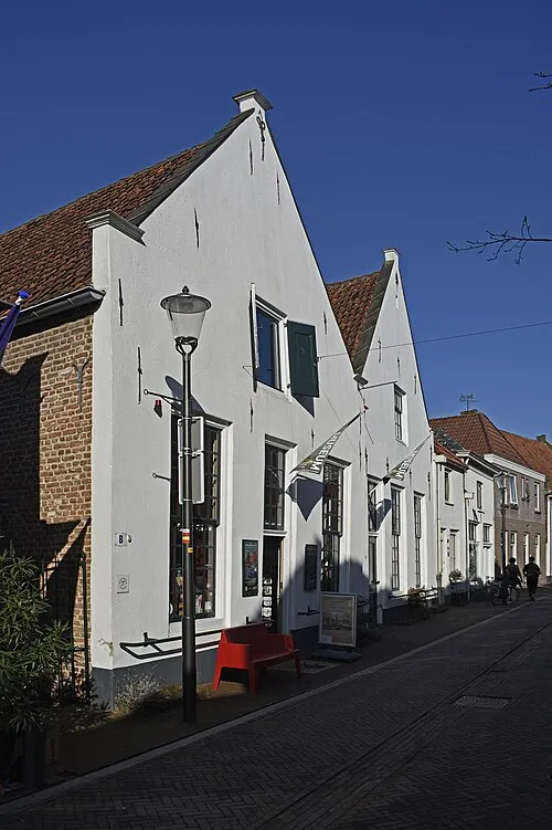 Voerman Museum Hattem Museum, Gemeente Hattem22 km SW
-
Hunnenkloosterberg Mountain, Gemeente De Wolden18 km N
-
Luttenberg Mountain, Raalte Municipality20 km S
Sources & licences
Data last updated: · 2 independent sources