Gemeente De Ronde Venen
Located in Utrecht, The Netherlands Coordinates: 52°12′55″ N 4°54′04″ E
- Population
- 44,720
- 44.7K
- Elevation
- -6 m
- above sea level
- Local time
- UTC+01:00
- Europe/Amsterdam · UTC+01:00
- Places inside
- 14
- listed under Gemeente De Ronde Venen
About Gemeente De Ronde Venen
Gemeente De Ronde Venen is a district. Location: Utrecht, The Netherlands. Population: 44,720.
In comparison
- Listed here: Village: 10, Town: 3, Landmark: 1
Airports nearest to Gemeente De Ronde Venen
- Amsterdam Airport Schiphol (AMS) Amsterdam 14 km
- Rotterdam The Hague Airport (RTM) Rotterdam 43 km
- Eindhoven Airport (EIN) Eindhoven 91 km
Straight-line distance; airports with scheduled flights only. Source: OurAirports (public domain).
Places in Gemeente De Ronde Venen
14 places-
Mijdrecht Town15.2K
-
Abcoude Town6.9K
-
Wilnis Town5.7K
-
Vinkeveen Village2.3K
-
Baambrugge Village1K
-
Amstelhoek Village970
-
Waverveen Village537
-
Mennonietenbuurt Village480
-
Baambrugse Zuwe Village460
-
Nessersluis Village105
-
De Hoef Village
-
Groenlandsekade Village
-
Stokkelaarsbrug Village
-
Weesperbrug Landmark
Nearby attractions & nature
Everything nearby-
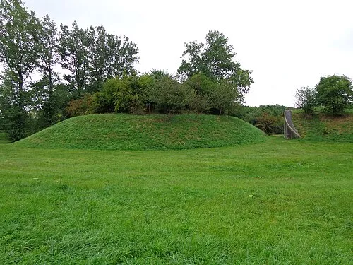 Nieuwersluis Fort Historic site, Stichtse Vecht7.3 km E
-
Olympic Stadium Landmark, Gemeente Amsterdam15 km N
-
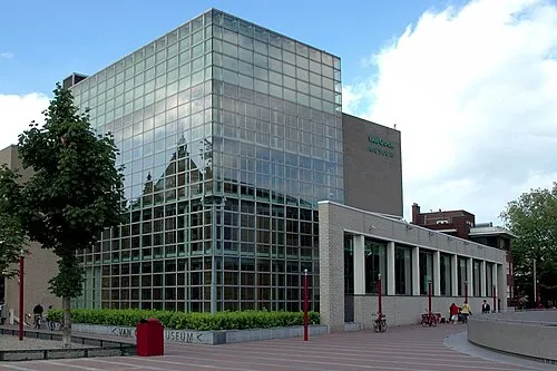 Van Gogh Museum Museum, Gemeente Amsterdam16 km N
-
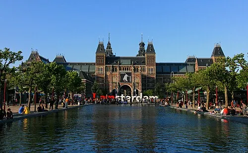 Rijksmuseum Amsterdam Museum, Gemeente Amsterdam16 km N
-
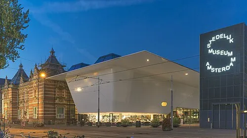 Stedelijk Museum Amsterdam Museum, Gemeente Amsterdam16 km N
-
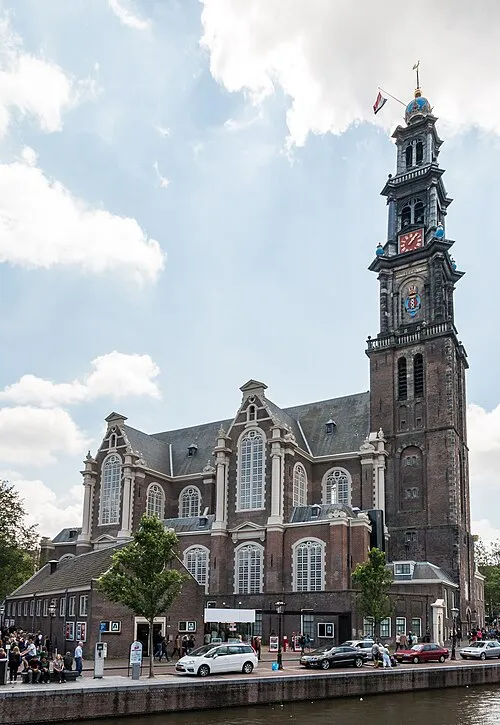 Westerkerk Attraction, Gemeente Amsterdam18 km N
Sources & licences
Data last updated: