Groenlandsekade
Located in Gemeente De Ronde Venen, Utrecht Coordinates: 52°13′54″ N 4°58′40″ E
- Elevation
- -2 m
- above sea level
- Local time
- UTC+01:00
- Europe/Amsterdam · UTC+01:00
- Airports
- AMS Amsterdam Airport Schiphol17 km
- RTM Rotterdam The Hague Airport48 km
About Groenlandsekade
Groenlandsekade is a village. Location: Gemeente De Ronde Venen, Utrecht. Elevation: -2 m.
Groenlandsekade is a hamlet in the Dutch province of Utrecht. It is located in the municipality of De Ronde Venen, about 4 km northeast of Vinkeveen. Groenlandsekade consists of a single road, parallel to the A2 highway Amsterdam-Utrecht. The road is situated on an embankment ("kade" in Dutch), which forms the northeast shore of the lake area Vinkeveensche Plassen. Until his death in 2004, the popular Dutch singer André Hazes lived here. It was first mentioned between 1839 and 1859 as "De Vinkenkade of Groenland".
Source: Wikipedia · CC BY-SA 4.0
Photos of Groenlandsekade
-
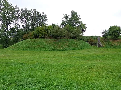
Nieuwersluis Fort HenkvD · CC BY-SA 3.0 nl

Climate of Groenlandsekade
Best months for sightseeingBest months for sightseeing: June–August.
This month · November
A cold month
Day 9° · Night 4° · Rain 89 mm
- Hottest month
- August (day 22°)
- Coldest month
- February (night 0°)
- Wettest month
- November (89 mm)
- Driest month
- April (46 mm)
Bars: average monthly low and high temperature. Below: precipitation. Monthly averages for 1970–2000 at about 18 km resolution, adjusted for elevation. Highlighted months are mild and relatively dry. Source: WorldClim 2.1 (CC BY 4.0).
Show values as a table
| Month | Jan | Feb | Mar | Apr | May | Jun | Jul | Aug | Sep | Oct | Nov | Dec |
|---|---|---|---|---|---|---|---|---|---|---|---|---|
| Average high (°C) | 5° | 6° | 9° | 12° | 17° | 19° | 21° | 22° | 18° | 14° | 9° | 7° |
| Average low (°C) | 1° | 0° | 2° | 4° | 8° | 10° | 12° | 12° | 10° | 7° | 4° | 2° |
| Precipitation (mm) | 69 | 51 | 65 | 46 | 54 | 71 | 71 | 62 | 82 | 85 | 89 | 81 |
How to get to Groenlandsekade
The nearest airport is Amsterdam Airport Schiphol (AMS), 17 km to the northwest as the crow flies. The nearest large city is Amsterdam, 17 km to the north.
Airports
- Amsterdam Airport Schiphol (AMS) Amsterdam 17 kmnorthwest
- Rotterdam The Hague Airport (RTM) Rotterdam 48 kmsouthwest
- Eindhoven Airport (EIN) Eindhoven 91 kmsouth
Nearby large cities
- Amsterdam Population: 741.6K 17 kmnorth
- Utrecht Population: 376.4K 19 kmsoutheast
- Hoofddorp Population: 132.7K 21 kmwest
- Almere Stad Population: 176.4K 22 kmnortheast
- Zaanstad Population: 140.1K 27 kmnorthwest
Straight-line distances; road distances are longer. Airport data: OurAirports.
Day trips from Groenlandsekade
Within 100 km: 149 historic and cultural sites, 122 natural sites, 56 lakes, rivers and coasts.
0–25 km74 places
- Zwarte Berg Mountain 14 kmE
- Hoorneboeg Mountain 13 kmE
- Eikenberg Mountain 19 kmNE
- De Soesterberg Mountain 25 kmSE
25–60 km71 places
- IJsselmonde Island 51 kmSW
- Habana Beach Beach 55 kmW
- Eiland van Brienenoord Island 48 kmSW
- Zwarte Berg Mountain 54 kmE
60–100 km182 places
- Texel Island 95 kmN
- Putjensberg Mountain 72 kmE
- Stappensven Lake 99 kmS
- Wegmeerheide Natural site 93 kmS
Straight-line distances.
Nearby attractions & nature
Everything nearby-
Nieuwersluis Fort Historic site, Stichtse Vecht4.3 km SE
-
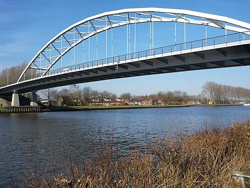 Weesperbrug Landmark, Gemeente De Ronde Venen8.5 km N
-
Olympic Stadium Landmark, Gemeente Amsterdam15 km NW
-
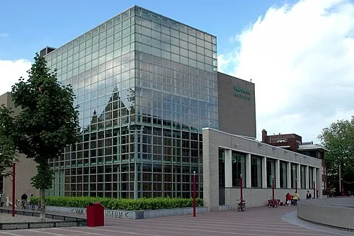 Van Gogh Museum Museum, Gemeente Amsterdam16 km NW
-
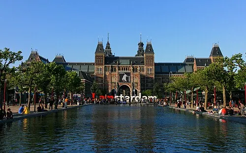 Rijksmuseum Amsterdam Museum, Gemeente Amsterdam16 km NW
-
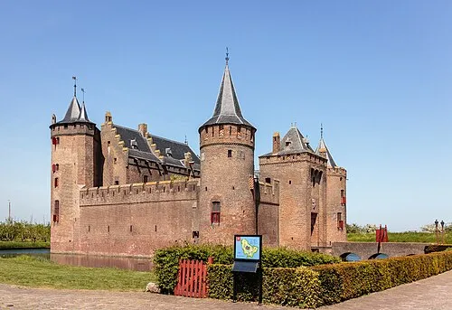 Muiderslot Historic site, Gooise Meren13 km NE
Other cities and towns in Gemeente De Ronde Venen
-
 Waverveen Village, Gemeente De Ronde Venen5.5 km W
-
Stokkelaarsbrug Village, Gemeente De Ronde Venen5.3 km NW
-
 Amstelhoek Village, Gemeente De Ronde Venen9.9 km W
-
Nessersluis Village, Gemeente De Ronde Venen7.9 km W
-
Mennonietenbuurt Village, Gemeente De Ronde Venen9.9 km W
-
De Hoef Village, Gemeente De Ronde Venen12 km W
Sources & licences
Data last updated: · 2 independent sources