Nieuwegein Municipality
Local name: Nieuwegein
Located in Utrecht, The Netherlands Coordinates: 52°01′42″ N 5°05′43″ E
- Population
- 63,036
- 63K
- Elevation
- 1 m
- above sea level
- Local time
- UTC+01:00
- Europe/Amsterdam · UTC+01:00
- Places inside
- 3
- listed under Nieuwegein Municipality
About Nieuwegein Municipality
Nieuwegein Municipality is a district. Location: Utrecht, The Netherlands. Population: 63,036.
Nieuwegein (Dutch pronunciation: [ˌniu.əˈɣɛin] ) is a municipality and city in the Dutch province of Utrecht. It is bordered on the north by the city of Utrecht, the provincial capital. It is separated from Vianen to the south by the river Lek and borders on IJsselstein in the southwest and Houten in the east. Nieuwegein had 64,606 inhabitants as of 1 December 2021. Several national sports federations are housed in Nieuwegein, including the NeVoBo (volleyball), KNZB (swimming), NBb (basketball) and KNCB (cricket).
Read more on Wikipedia Text: Wikipedia contributors · CC BY-SA 4.0 · shortened
At a glance
- Built
- 1971
- Area
- 25.6 km²
Source: Wikidata
In comparison
- 11 sights and natural places within 10 km Kasteel Heemstede, Fectio
- Listed here: Neighbourhood: 2, Town: 1
Places in Nieuwegein Municipality
3 places-
Nieuwegein Town61.5K
-
Vreeswijk Neighbourhood3.5K
-
Laagraven Neighbourhood170
Nearby attractions & nature
Everything nearby-
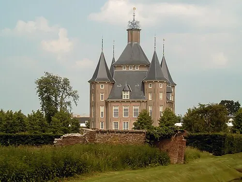 Kasteel Heemstede Historic site, Gemeente Houten2.1 km E
-
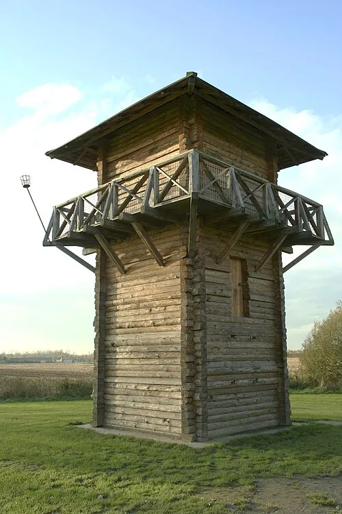 Fectio Historic site, Bunnik Municipality5.7 km NE
-
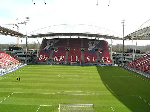 Stadion Galgenwaard Landmark, Gemeente Utrecht6.6 km NE
-
 Museum Catharijneconvent Museum, Gemeente Utrecht6.8 km N
-
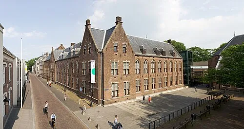 Centraal Museum Museum, Gemeente Utrecht6.5 km N
-
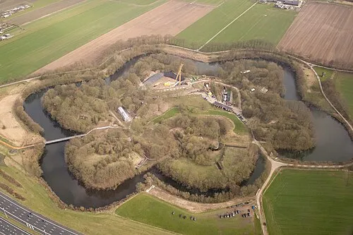 Vechten Fort Historic site, Bunnik Municipality6 km NE
Sources & licences
Data last updated: · 2 independent sources