Tolsteeg
Located in Gemeente Utrecht, Utrecht Coordinates: 52°04′00″ N 5°07′00″ E
- Elevation
- 2 m
- above sea level
- Local time
- UTC+01:00
- Europe/Amsterdam · UTC+01:00
About Tolsteeg
Tolsteeg is a neighbourhood. Location: Gemeente Utrecht, Utrecht.
Utrecht ( YOO-trekt; Dutch: [ˈytrɛxt] ; Utrecht dialect: Ut(e)reg [ˈyt(ə)ʁɛχ]) is the fourth-largest city of the Netherlands, as well as the capital and the most populous city of the province of Utrecht. The municipality of Utrecht is located in the eastern part of the Randstad conurbation, in the very centre of mainland Netherlands, and includes Haarzuilens, Vleuten and De Meern. It has a population of 378,140 as of January 2026.
Read more on Wikipedia Text: Wikipedia contributors · CC BY-SA 4.0 · shortened
In comparison
- Nearest larger town: Lunetten, 1 km SE
- 13 sights and natural places within 10 km Centraal Museum, Museum Catharijneconvent
Nearby attractions & nature
Everything nearby-
 Museum Catharijneconvent Museum, Gemeente Utrecht2.3 km N
-
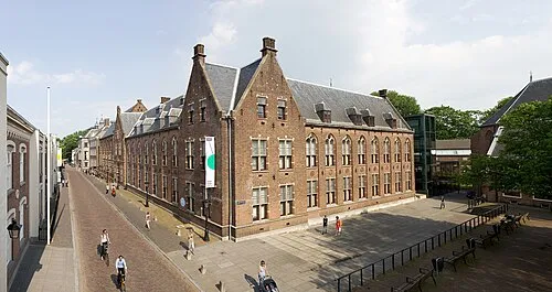 Centraal Museum Museum, Gemeente Utrecht2 km N
-
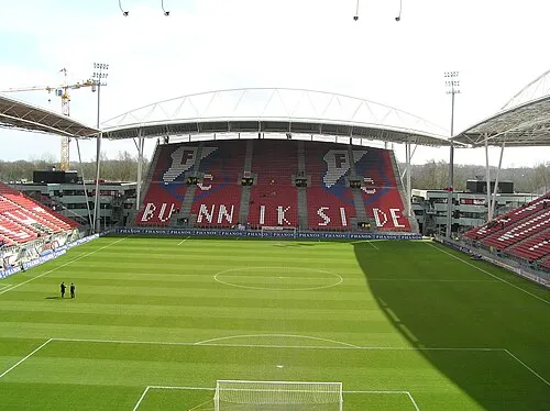 Stadion Galgenwaard Landmark, Gemeente Utrecht2.4 km NE
-
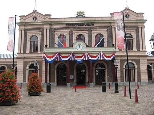 Het Spoorwegmuseum Museum, Gemeente Utrecht2.6 km NE
-
 Jacobikerk Attraction, Gemeente Utrecht3.2 km N
-
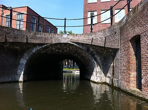 Plompetorenbrug Landmark, Gemeente Utrecht3.4 km N
Sources & licences
Data last updated: · 2 independent sources