Langbroek
Located in Gemeente Wijk bij Duurstede, Utrecht Coordinates: 52°00′45″ N 5°19′40″ E
- Population
- 2,075
- 2.1K
- Elevation
- 4 m
- above sea level
- Local time
- UTC+01:00
- Europe/Amsterdam · UTC+01:00
About Langbroek
Langbroek is a village. Location: Gemeente Wijk bij Duurstede, Utrecht. Population: 2,075. Elevation: 4 m.
Langbroek is a village in the Dutch province of Utrecht. It is a part of the municipality of Wijk bij Duurstede, and lies about 11 km southeast of Zeist. The village is the merger of Overlangbroek and Nederlangbroek Until it merged with Wijk bij Duurstede in 1996, Langbroek was a separate municipality.
Read more on Wikipedia Text: Wikipedia contributors · CC BY-SA 4.0 · shortened
In comparison
- No. 3 of 4 places in Gemeente Wijk bij Duurstede by population
- Nearest larger town: Cothen, 2 km SW
- 2 sights and natural places within 10 km Darthuizerberg, Slot Zeist
Nearby attractions & nature
Everything nearby-
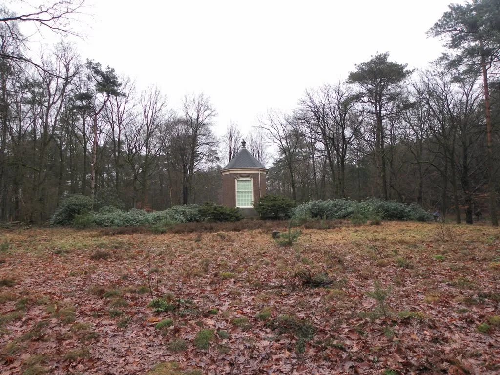 Darthuizerberg Mountain, Gemeente Utrechtse Heuvelrug5.6 km E
-
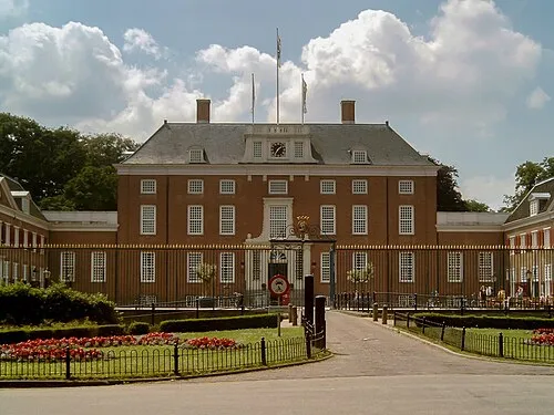 Slot Zeist Historic site, Gemeente Zeist9.8 km NW
-
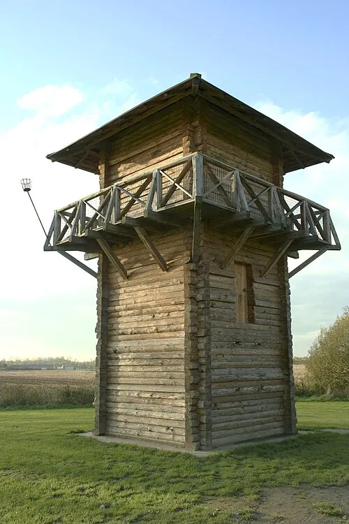 Fectio Historic site, Bunnik Municipality12 km NW
-
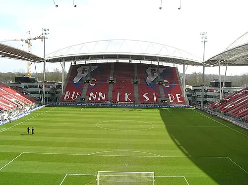 Stadion Galgenwaard Landmark, Gemeente Utrecht14 km NW
-
Amerongsche Berg Mountain, Gemeente Utrechtse Heuvelrug11 km E
-
 Museum Catharijneconvent Museum, Gemeente Utrecht16 km NW
Sources & licences
Data last updated: · 2 independent sources