Gerverscop
Located in Gemeente Woerden, Utrecht Coordinates: 52°07′03″ N 4°57′00″ E
- Population
- 225
- 225
- Elevation
- -2 m
- above sea level
- Local time
- UTC+01:00
- Europe/Amsterdam · UTC+01:00
About Gerverscop
Gerverscop is a village. Location: Gemeente Woerden, Utrecht. Population: 225. Elevation: -2 m.
Gerverscop is a hamlet in the Dutch province of Utrecht. It is a part of the municipality of Woerden, and lies about 5 km northeast of Woerden. Until 1857, it was a separate municipality; it then was joined to the municipality of Harmelen. The former municipality consisted of the polders Gerverscop and Breudijk, north of Harmelen. In the 19th century, it had about 160 inhabitants, 120 of which in the polder Gerverscop.
Read more on Wikipedia Text: Wikipedia contributors · CC BY-SA 4.0 · shortened
In comparison
- No. 7 of 13 places in Gemeente Woerden by population
- Nearest larger town: Putkop, 2 km S
- 3 sights and natural places within 10 km Watertoren, Meernbrug
Nearby attractions & nature
Everything nearby-
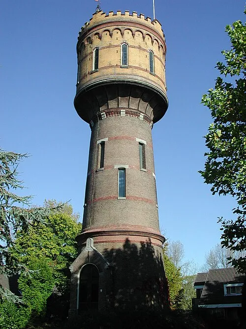 Watertoren Landmark, Gemeente Woerden5.5 km SW
-
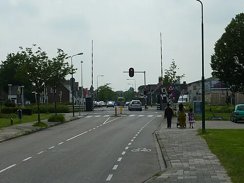 Meernbrug Landmark, Gemeente Utrecht7.1 km SE
-
 Jacobikerk Attraction, Gemeente Utrecht12 km E
-
 Museum Catharijneconvent Museum, Gemeente Utrecht12 km E
-
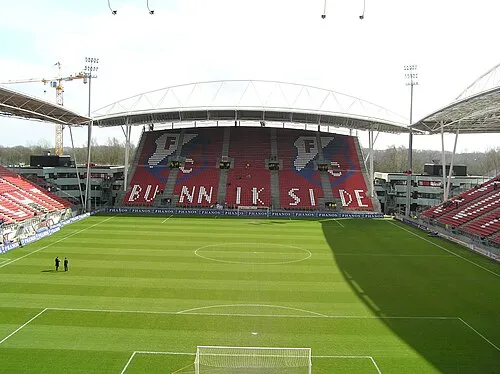 Stadion Galgenwaard Landmark, Gemeente Utrecht14 km E
-
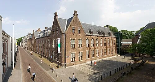 Centraal Museum Museum, Gemeente Utrecht13 km E
Sources & licences
Data last updated: · 2 independent sources