Çiftlik Bucağı
Located in Erzurum Province, Turkey Coordinates: 39°47′13″ N 40°38′36″ E
- Elevation
- 1,757 m
- above sea level
- Local time
- UTC+03:00
- Europe/Istanbul · UTC+03:00
- Airports
- ERZ Erzurum International Airport49 km
- ERC Erzincan Airport96 km
About Çiftlik Bucağı
Çiftlik Bucağı is a municipality. Location: Erzurum Province, Turkey. Elevation: 1,757 m. The best months to visit are June, September. The nearest airport is Erzurum International Airport (49 km). Nearby sights include Boğazoğlu Deresi and Kurukumlu Tepesi.
Climate of Çiftlik Bucağı
Best months for sightseeingBest months for sightseeing: June, September.
This month · November
A cold month
Day 8° · Night -2° · Rain 65 mm
Better nearby cities in November
- Kızıltepe · 289 km south19°
- Viranşehir · 295 km south18°
- Cizre · 304 km southeast20°
- Hottest month
- August (day 29°)
- Coldest month
- January (night -10°)
- Wettest month
- April (88 mm)
- Driest month
- August (13 mm)
Bars: average monthly low and high temperature. Below: precipitation. Monthly averages for 1970–2000 at about 18 km resolution, adjusted for elevation. Highlighted months are mild and relatively dry. Source: WorldClim 2.1 (CC BY 4.0).
Show values as a table
| Month | Jan | Feb | Mar | Apr | May | Jun | Jul | Aug | Sep | Oct | Nov | Dec |
|---|---|---|---|---|---|---|---|---|---|---|---|---|
| Average high (°C) | -2° | 0° | 4° | 12° | 18° | 23° | 28° | 29° | 25° | 17° | 8° | 1° |
| Average low (°C) | -10° | -9° | -4° | 2° | 6° | 9° | 13° | 12° | 9° | 4° | -2° | -7° |
| Precipitation (mm) | 51 | 51 | 61 | 88 | 85 | 43 | 16 | 13 | 18 | 57 | 65 | 59 |
How to get to Çiftlik Bucağı
The nearest airport is Erzurum International Airport (ERZ), 49 km to the northeast as the crow flies. The nearest large city is Erzurum, 56 km to the east.
Airports
- Erzurum International Airport (ERZ) Erzurum 49 kmnortheast
- Erzincan Airport (ERC) Erzincan 96 kmwest
- Bingöl Airport (BGG) Bingöl 103 kmsouth
Nearby large cities
- Erzurum Population: 767.8K 56 kmeast
- Erzincan Population: 150.7K 99 kmwest
- Bingoel Population: 128.9K 101 kmsouth
- Rize Population: 119.8K 137 kmnorth
- Trabzon Population: 244.1K 156 kmnorthwest
Straight-line distances; road distances are longer. Airport data: OurAirports.
Nearby attractions & nature
Everything nearby-
Boğazoğlu Deresi River, Erzurum Province0.3 km S
-
Kurukumlu Tepesi Mountain, Aşkale İlçesi0.6 km NE
-
Abbasoğlu Tepesi Mountain, Aşkale İlçesi1 km E
-
Ömerağatarlası Tepesi Mountain, Aşkale İlçesi1.3 km E
-
Aydın Dere River, Aşkale İlçesi1.1 km W
-
Aydın Dere River, Aşkale İlçesi1.1 km W
-
Top Tepesi Mountain, Aşkale İlçesi1.5 km SW
-
Ziyaretbaşı Tepesi Mountain, Aşkale İlçesi1.7 km S
Other cities and towns in Erzurum Province
-
Aşkale Town, Aşkale İlçesi15 km N
-
Aşkale Bucağı Municipality, Erzurum Province15 km N
-
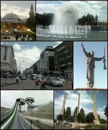 Erzurum City, Erzurum Province56 km E
-
Kandilli Bucağı Municipality, Erzurum Province22 km NE
-
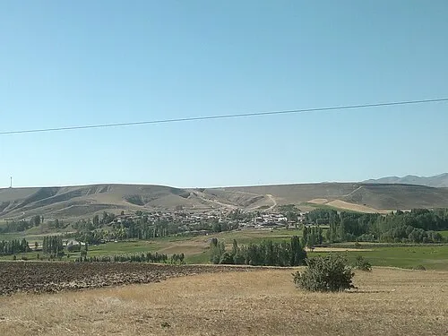 Ilıca Town, Aziziye43 km NE
-
Çat City, Çat İlçesi35 km SE
Sources & licences
Data last updated: