Mosque of Abu'l Muamran
Located in Kars, Kars Province Coordinates: 40°30′28″ N 43°34′17″ E
- Local time
- UTC+03:00
- Europe/Istanbul · UTC+03:00
- Elevation
- 1,427 m
- above sea level
- Airports
- LWN Shirak International Airport36 km
- KSY Kars Airport39 km
About Mosque of Abu'l Muamran
Mosque of Abu'l Muamran is a historic site. Location: Kars, Kars Province. The best months to visit are June, September. The nearest airport is Shirak International Airport (36 km). Nearby sights include Ani and Church of the Holy Apostles.
Photos of Mosque of Abu'l Muamran
-
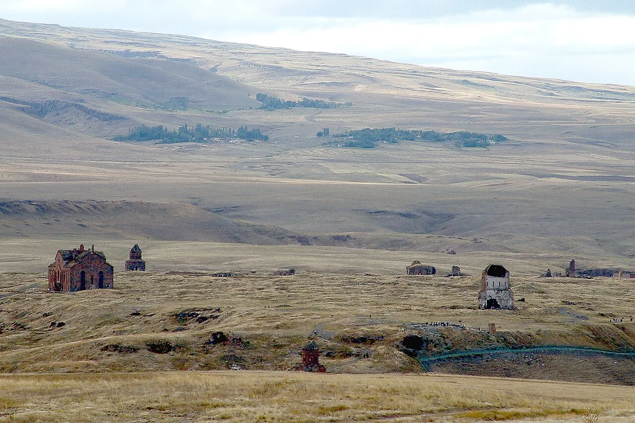
Ani haigoes · CC BY-SA 3.0 -
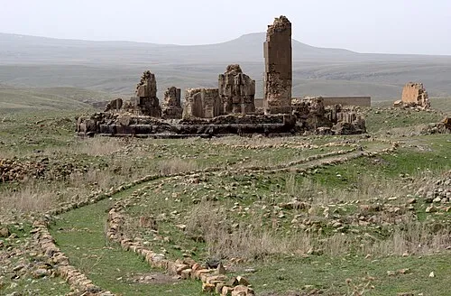
Cathedral of Saint Gregory the Illuminator Ggia · CC BY-SA 3.0 -
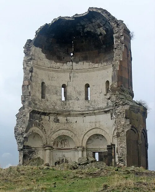
Church of the Holy Redeemer of Ani Citrat at Turkish Wikipedia · CC BY-SA 3.0 -
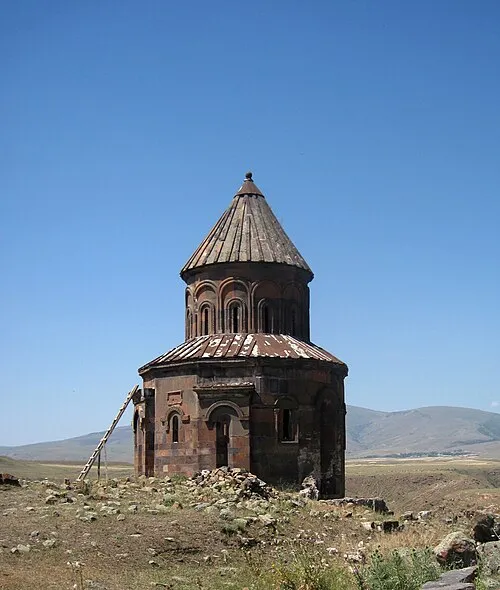
Saint Gregory of Abughamrents Church Armenak Margarian · CC BY-SA 4.0 -
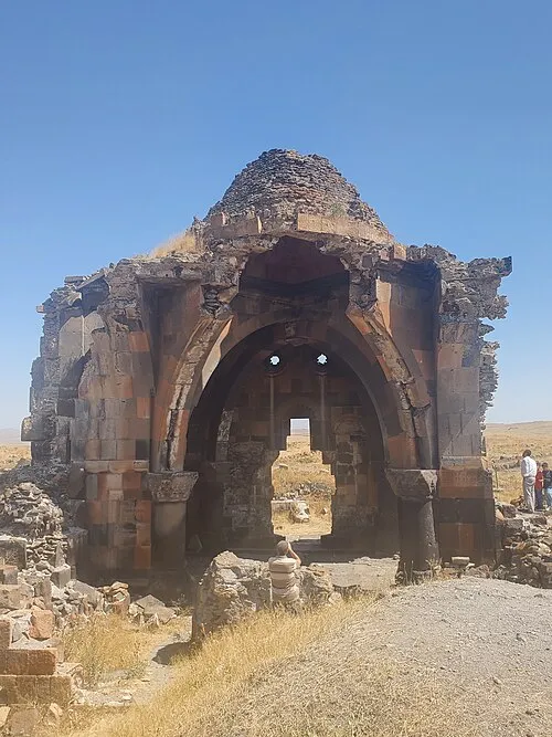
Church of the Holy Apostles Rəcəb Yaxşı · CC BY-SA 4.0


Climate of Mosque of Abu'l Muamran
Best months for sightseeingBest months for sightseeing: June, September.
This month · November
A cold month
Day 9° · Night -2° · Rain 25 mm
Better nearby cities in November
- Cizre · 373 km south20°
- Silopi · 375 km south20°
- Hottest month
- August (day 29°)
- Coldest month
- January (night -13°)
- Wettest month
- May (75 mm)
- Driest month
- January (16 mm)
Bars: average monthly low and high temperature. Below: precipitation. Monthly averages for 1970–2000 at about 18 km resolution, adjusted for elevation. Highlighted months are mild and relatively dry. Source: WorldClim 2.1 (CC BY 4.0).
Show values as a table
| Month | Jan | Feb | Mar | Apr | May | Jun | Jul | Aug | Sep | Oct | Nov | Dec |
|---|---|---|---|---|---|---|---|---|---|---|---|---|
| Average high (°C) | -3° | -1° | 5° | 14° | 19° | 24° | 29° | 29° | 25° | 17° | 9° | 1° |
| Average low (°C) | -13° | -12° | -5° | 2° | 6° | 9° | 13° | 13° | 8° | 3° | -2° | -8° |
| Precipitation (mm) | 16 | 22 | 24 | 46 | 75 | 63 | 38 | 30 | 23 | 33 | 25 | 19 |
How to get to Mosque of Abu'l Muamran
The nearest airport is Shirak International Airport (LWN), 36 km to the northeast as the crow flies. The nearest large city is Iğdır, 76 km to the southeast.
Airports
- Shirak International Airport (LWN) Gyumri 36 kmnortheast
- Kars Airport (KSY) Kars 39 kmwest
- Iğdır Airport (IGD) Iğdır 64 kmsoutheast
Nearby large cities
- Iğdır Population: 101.7K 76 kmsoutheast
- Ağrı Population: 124.5K 99 kmsouthwest
- Rustavi Population: 128.2K 167 kmnortheast
- Tbilisi Population: 1M 169 kmnortheast
- Batumi Population: 186.9K 206 kmnorthwest
Straight-line distances; road distances are longer. Airport data: OurAirports.
Day trips from Mosque of Abu'l Muamran
Within 100 km: 60 historic and cultural sites, 185 natural sites, 195 lakes, rivers and coasts.
0–25 km70 places
- Ani Historic site 1 kmE
- Kabaktepe Dağı Mountain 15 kmSW
- Büyükyahni Tepesi Mountain 24 kmNW
- Mağara Tepesi Mountain 9 kmSW
25–60 km127 places
- Lavaş Gölü Lake 54 kmNW
- Turna Gölü Lake 48 kmSW
- Mustafa Gölü Lake 29 kmNW
- Mişk Gölü Lake 27 kmNW
60–100 km243 places
- Vanis Kvabebi Attraction 100 kmN
- Tba Mada Lake 76 kmN
- Kartsakhi Lake Lake 83 kmN
- Mt’a Emlik’li Mountain 89 kmN
Straight-line distances.
Nearby attractions & nature
Everything nearby-
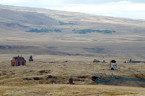 Ani Historic site, Kars0.1 km E
-
Church of the Holy Apostles Attraction, Kars0.1 km NW
-
Saint Gregory of Abughamrents Church Attraction, Kars0.2 km W
-
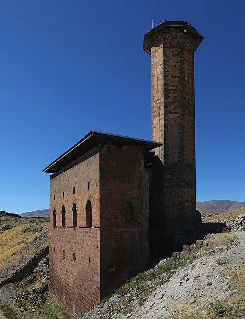 Menucihr Mosque Attraction, Kars0.3 km SW
-
Cathedral of Saint Gregory the Illuminator Attraction, Kars0.4 km NW
-
Church of the Holy Redeemer of Ani Attraction, Kars0.4 km E
-
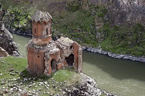 Monastery of the Hripsimyan Virgins Attraction, Kars0.5 km SE
-
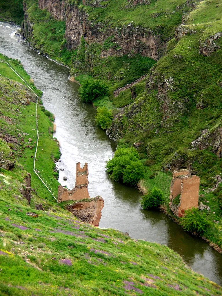 Bridge ruins over the Akhuryan river Historic site, Kars Province0.4 km S
Nearest towns and villages
More sights in Kars
-
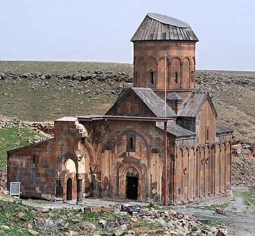 Tigran Honents Church Attraction, Kars0.7 km E
-
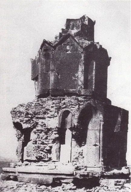 Hovvi Church Historic site, Kars0.9 km N
-
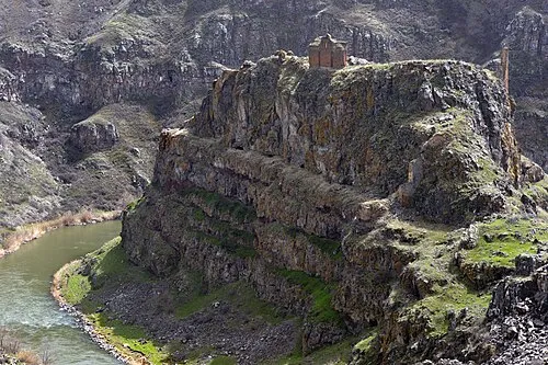 Saint Grigor Monastery (Aghkaberd, Ani) Attraction, Ani1.3 km S
-
Abukhanmi Church Historic site, Kars0.9 km SW
-
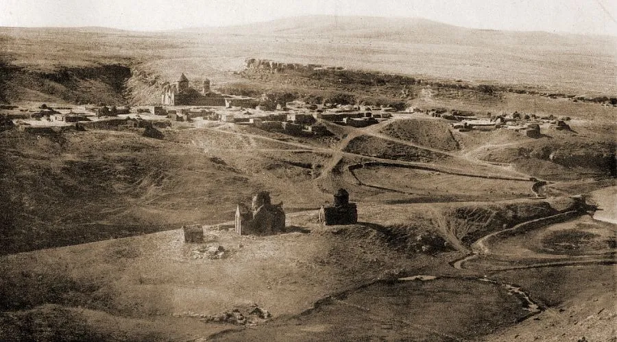 Horomos monastic complex Historic site, Kars5.2 km E
-
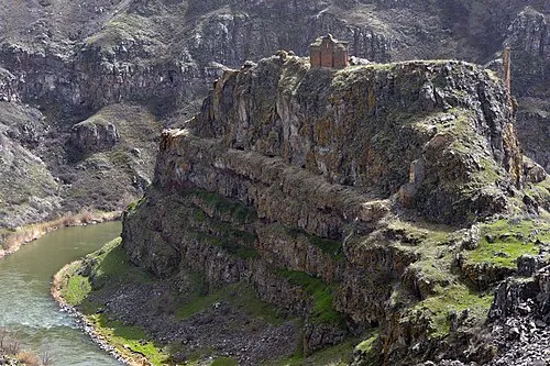 Kizkale Church Attraction, Kars1.3 km S
Sources & licences
Data last updated: