- Population
- 204
- 204
- Elevation
- 714 m
- above sea level
- Local time
- UTC+03:00
- Europe/Istanbul · UTC+03:00
- Airports
- COV Çukurova International Airport45 km
- HTY Hatay Airport169 km
About Kesecik
Kesecik is a village. Location: Çamlıyayla İlçesi, Mersin Province. Population: 204. Elevation: 714 m.
Kesecik is a neighbourhood in the Çamlıyayla district of Mersin Province, Turkey. Its population is 204 (2022). It is situated in the Taurus Mountains 18 kilometres (11 mi) to east of Çamlıyayla.
Source: Wikipedia · CC BY-SA 4.0
Climate of Kesecik
Best months for sightseeingBest months for sightseeing: May, October.
This month · November
Outside the best season
Day 17° · Night 5° · Rain 69 mm
Better nearby cities in November
- Tarsus · 31 km southeast22°
- Mersin · 32 km south22°
- Adana · 63 km east21°
- Hottest month
- August (day 32°)
- Coldest month
- January (night 0°)
- Wettest month
- December (110 mm)
- Driest month
- August (6 mm)
Bars: average monthly low and high temperature. Below: precipitation. Monthly averages for 1970–2000 at about 18 km resolution, adjusted for elevation. Highlighted months are mild and relatively dry. Source: WorldClim 2.1 (CC BY 4.0).
Show values as a table
| Month | Jan | Feb | Mar | Apr | May | Jun | Jul | Aug | Sep | Oct | Nov | Dec |
|---|---|---|---|---|---|---|---|---|---|---|---|---|
| Average high (°C) | 9° | 11° | 14° | 19° | 23° | 28° | 31° | 32° | 29° | 23° | 17° | 11° |
| Average low (°C) | 0° | 1° | 4° | 8° | 12° | 16° | 19° | 18° | 14° | 10° | 5° | 2° |
| Precipitation (mm) | 100 | 77 | 74 | 59 | 52 | 25 | 8 | 6 | 13 | 43 | 69 | 110 |
How to get to Kesecik
The nearest airport is Çukurova International Airport (COV), 45 km to the southeast as the crow flies. The nearest large city is Tarsus, 31 km to the southeast.
Airports
- Çukurova International Airport (COV) Tarsus 45 kmsoutheast
- Hatay Airport (HTY) Antakya 169 kmsoutheast
- Nevşehir Kapadokya Airport (NAV) Nevşehir 186 kmnorth
Nearby large cities
- Tarsus Population: 350.7K 31 kmsoutheast
- Mersin Population: 537.8K 32 kmsouth
- Adana Population: 1.8M 63 kmeast
- Heraclea Population: 156.3K 69 kmnorthwest
- Silifke Population: 132.7K 102 kmsouthwest
Straight-line distances; road distances are longer. Airport data: OurAirports.
Day trips from Kesecik
Within 100 km: 24 historic and cultural sites, 314 natural sites, 181 lakes, rivers and coasts.
0–25 km31 places
- Şamlar Dağı Mountain 23 kmS
- Yedigöz Tepe Mountain 20 kmW
- Çığırcak Dağı Mountain 16 kmN
- Avcı Tepesi Mountain 24 kmW
25–60 km142 places
- Lake Tuzla Lake 57 kmSE
- Dipsiz Göl Lake 47 kmSE
- Seyhan Barajı Lake 60 kmE
- Yumru Tepesi Mountain 33 kmS
60–100 km346 places
- Küçük Ada Island 90 kmSE
- Nergizi Adasi Island 94 kmSE
- Yapı Gölü Lake 95 kmSE
- Yağızlar Göleti Lake 82 kmE
Straight-line distances.
Nearby attractions & nature
Everything nearby-
Kale Deresi River, Mersin Province1.4 km NE
-
Cehennem Deresi River, Mersin Province3.1 km NW
-
Uçar Tepesi Mountain, Çamlıyayla İlçesi4.8 km N
-
Tepetaş Tepesi Mountain, Tarsus4.2 km S
-
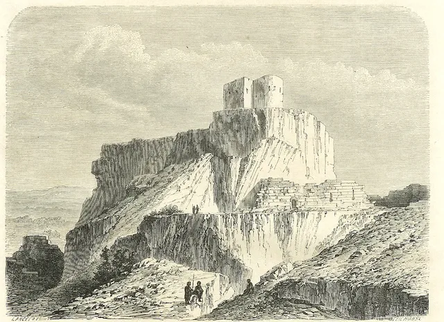 Lampron Castle Historic site, Çamlıyayla İlçesi8 km N
-
Pamukluk Çayı River, Mersin Province5.7 km SE
Sources & licences
Data last updated: · 2 independent sources