Tabureli
Located in Erdemli İlçesi, Mersin Province Coordinates: 36°39′14″ N 34°04′07″ E
- Population
- 1,076
- 1.1K
- Elevation
- 1,019 m
- above sea level
- Local time
- UTC+03:00
- Europe/Istanbul · UTC+03:00
About Tabureli
Tabureli is a village. Location: Erdemli İlçesi, Mersin Province. Population: 1,076. Elevation: 1,019 m.
Tapureli (former Tahtalı) is a neighbourhood in the municipality and district of Erdemli, Mersin Province, Turkey. Its population is 1,076 (2022). It is located 32 kilometres (20 mi) northwest of Erdemli and about 70 kilometres (43 mi) west of Mersin. The village was founded in the early 1800s by a Turkmen chieftain named Gökali. The name of the village refers to the rocky landscape that surrounds it. There are ruins of an ancient settlement called Tapureli ruins just 3 kilometres (1.9 mi) southwest of the village.
Read more on Wikipedia Text: Wikipedia contributors · CC BY-SA 4.0 · shortened
In comparison
- No. 17 of 52 places in Erdemli İlçesi by population
- Nearest larger town: Esenpınar, 8 km SE
- 5 sights and natural places within 10 km Akçay Deresi, Kızılgeçitçayı Deresi
Nearby attractions & nature
Everything nearby-
Akçay Deresi River, Mersin Province0.9 km E
-
Kızılgeçitçayı Deresi River, Mersin Province4.9 km S
-
Sandal Dağı Mountain, Erdemli İlçesi8.5 km SE
-
Kara Dağ Mountain, Silifke İlçesi9.9 km S
-
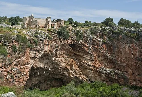 Kanlıdivane Historic site, Erdemli İlçesi17 km SE
-
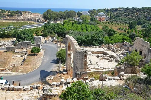 Elaiussa Sebaste Historic site, Erdemli İlçesi21 km SE
Sources & licences
Data last updated: · 2 independent sources