Kings Heath
Located in Birmingham, England Coordinates: 52°25′53″ N 1°53′39″ W
- Elevation
- 158 m
- above sea level
- Local time
- UTC+00:00
- Europe/London · UTC+00:00
About Kings Heath
Kings Heath is a village. Location: Birmingham, England. Elevation: 158 m.
Kings Heath (historically, and still occasionally King's Heath) is a suburb of south Birmingham, England, four miles south of the city centre. Historically in Worcestershire, it is the next suburb south from Moseley on the A435 Alcester Road. Since 2018 it has been part of the Brandwood and Kings Heath Ward.
Read more on Wikipedia Text: Wikipedia contributors · CC BY-SA 4.0 · shortened
In comparison
- Nearest larger town: Moseley, 2 km N
- 17 sights and natural places within 10 km Bourn Brook, St Andrew's
Airports nearest to Kings Heath
- Birmingham Airport (BHX) Birmingham, West Midlands 10 km
- East Midlands Airport (EMA) Nottingham, Leicestershire 59 km
- Manchester Airport (MAN) Manchester, Greater Manchester 105 km
Straight-line distance; airports with scheduled flights only. Source: OurAirports (public domain).
Nearby attractions & nature
Everything nearby-
Bourn Brook River, England2.6 km NW
-
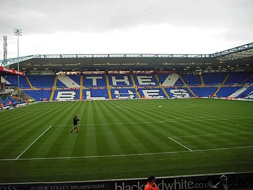 St Andrew's Landmark, Birmingham5.2 km N
-
Weoley Castle Historic site, Birmingham5.3 km W
-
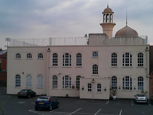 Darul Barakaat Mosque Attraction, Birmingham5.4 km N
-
Birmingham BT Tower Landmark, Birmingham5.8 km N
-
River Rea River, England9.3 km NE
Sources & licences
Data last updated: · 2 independent sources