Selly Oak
Located in Birmingham, England Coordinates: 52°26′21″ N 1°56′25″ W
- Elevation
- 152 m
- above sea level
- Local time
- UTC+00:00
- Europe/London · UTC+00:00
About Selly Oak
Selly Oak is a village. Location: Birmingham, England. Elevation: 152 m.
Selly Oak is a suburban area in south-west Birmingham, England, located approximately 5 miles (8 km) from the city centre. Named after a prominent oak tree that once stood at a major crossroads, the area encompasses the neighbourhoods of Bournbrook, Selly Park, and Ten Acres. It is bordered by Edgbaston and Harborne to the north, and Weoley Castle and Bournville to the south. The area has a long history dating back to Domesday Book of 1086, when its name was recorded as Escelie.
Read more on Wikipedia Text: Wikipedia contributors · CC BY-SA 4.0 · shortened
In comparison
- Nearest larger town: Edgbaston, 3 km NE
- 20 sights and natural places within 10 km Bourn Brook, Weoley Castle
Airports nearest to Selly Oak
- Birmingham Airport (BHX) Birmingham, West Midlands 13 km
- East Midlands Airport (EMA) Nottingham, Leicestershire 60 km
- Manchester Airport (MAN) Manchester, Greater Manchester 104 km
Straight-line distance; airports with scheduled flights only. Source: OurAirports (public domain).
Nearby attractions & nature
Everything nearby-
Bourn Brook River, England2 km NE
-
Weoley Castle Historic site, Birmingham2 km W
-
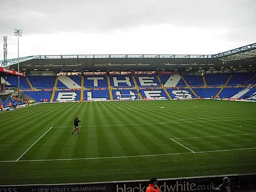 St Andrew's Landmark, Birmingham6.4 km NE
-
Birmingham BT Tower Landmark, Birmingham5.5 km NE
-
Warley Park Mountain, Sandwell4.7 km NW
-
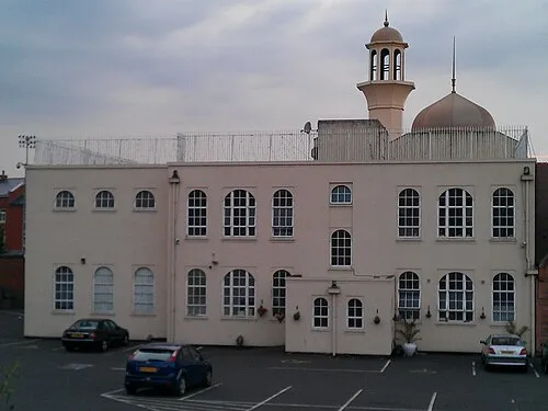 Darul Barakaat Mosque Attraction, Birmingham6.6 km NE
Sources & licences
Data last updated: · 2 independent sources