Moseley
Located in Birmingham, England Coordinates: 52°26′49″ N 1°53′17″ W
- Population
- 21,568
- 21.6K
- Elevation
- 147 m
- above sea level
- Local time
- UTC+00:00
- Europe/London · UTC+00:00
About Moseley
Moseley is a village. Location: Birmingham, England. Population: 21,568. Elevation: 147 m.
Moseley ( MOZE-lee) is a suburb in south Birmingham, England, three miles (five kilometres) south of the city centre. It is located within the eponymous Moseley ward of the constituency of Birmingham Hall Green and Moseley in the ceremonial county of the West Midlands. It historically lay within Worcestershire, abutting the county border with Warwickshire.
Read more on Wikipedia Text: Wikipedia contributors · CC BY-SA 4.0 · shortened
In comparison
- No. 14 of 17 places in Birmingham by population
- Nearest larger town: Sparkbrook, 2 km NE
- 17 sights and natural places within 10 km Bourn Brook, St Andrew's
Nearby attractions & nature
Everything nearby-
Bourn Brook River, England2 km W
-
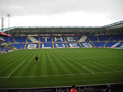 St Andrew's Landmark, Birmingham3.5 km NE
-
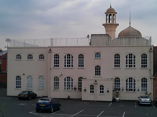 Darul Barakaat Mosque Attraction, Birmingham3.7 km NE
-
Birmingham BT Tower Landmark, Birmingham4.2 km N
-
Weoley Castle Historic site, Birmingham5.6 km W
-
Villa Park Landmark, Birmingham6.9 km N
Sources & licences
Data last updated: · 2 independent sources