Northfield
Located in Birmingham, England Coordinates: 52°25′00″ N 1°58′00″ W
- Population
- 10,404
- 10.4K
- Elevation
- 177 m
- above sea level
- Local time
- UTC+00:00
- Europe/London · UTC+00:00
About Northfield
Northfield is a village. Location: Birmingham, England. Population: 10,404. Elevation: 177 m.
Northfield is a residential area in outer south Birmingham, in the county of the West Midlands, England, near the boundary with Worcestershire, which it was historically within. It is also a council constituency, managed by its own district committee. The constituency includes the wards of Kings Norton, Longbridge, Weoley Castle and the smaller ward of Northfield that includes West Heath and Turves Green.
Read more on Wikipedia Text: Wikipedia contributors · CC BY-SA 4.0 · shortened
In comparison
- No. 16 of 17 places in Birmingham by population
- Nearest larger town: Longbridge, 2 km SW
- 19 sights and natural places within 10 km Weoley Castle, Frankley Beeches
Nearby attractions & nature
Everything nearby-
Weoley Castle Historic site, Birmingham2.9 km N
-
Frankley Beeches Mountain, Frankley3.1 km W
-
Bourn Brook River, England5 km NE
-
High Hill Mountain, Alvechurch3.4 km S
-
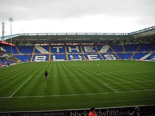 St Andrew's Landmark, Birmingham9.4 km NE
-
Rednal Hill Mountain, Cofton Hackett4.6 km SW
Sources & licences
Data last updated: · 2 independent sources