Sutton Coldfield Hill
Located in Birmingham, England Coordinates: 52°35′49″ N 1°49′59″ W
- Elevation
- 178 m
- above sea level
- Local time
- UTC+00:00
- Europe/London · UTC+00:00
About Sutton Coldfield Hill
Sutton Coldfield Hill is a mountain. Location: Birmingham, England. Elevation: 178 m.
In comparison
- No. 13643 of 18223 mountains in United Kingdom by elevation
- 12 sights and natural places within 10 km Sutton Coldfield Transmitting Station, Kings Standing Wood
Nearest towns and villages
-
 Sutton Coldfield City, Birmingham3.6 km S
-
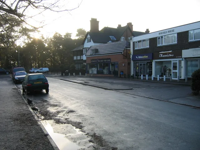 Streetly Town, Walsall3.7 km SW
-
Hill Neighbourhood, Birmingham0.5 km NW
-
Mere Green Neighbourhood, Birmingham1.1 km S
-
Four Oaks Village, Birmingham1.7 km S
-
Hill Hook Neighbourhood, Birmingham1.3 km NW
Nearby attractions & nature
Everything nearby-
Sutton Coldfield Transmitting Station Landmark, Birmingham0.4 km N
-
Kings Standing Wood Natural site, England4.8 km SW
-
Barr Beacon Mountain, Walsall5.9 km SW
-
The Devil's Dressing Room Mountain, Hints6.4 km NE
-
Shireoak Hill Mountain, Walsall6.6 km NW
-
River Cole River, England9 km S
-
Church Hill Mountain, Sandwell13 km W
-
Baddesley Colliery Mountain, Dordon13 km E
Sources & licences
Data last updated: