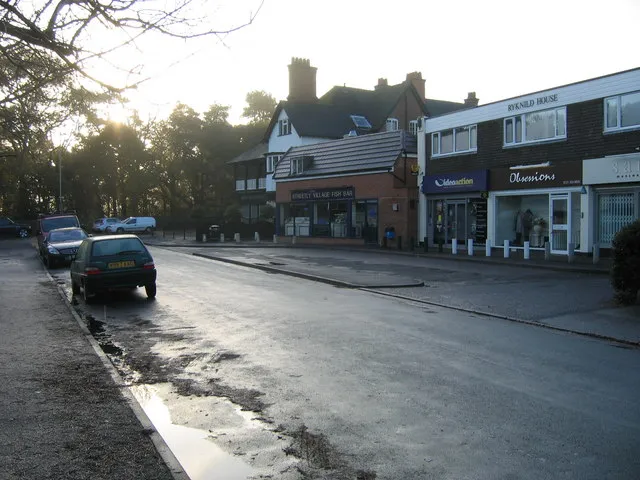
Streetly
Located in Walsall, England Coordinates: 52°35′00″ N 1°53′00″ W
- Population
- 13,251
- 13.3K
- Elevation
- 164 m
- above sea level
- Local time
- UTC+00:00
- Europe/London · UTC+00:00
About Streetly
Streetly is a town. Location: Walsall, England. Population: 13,251. Elevation: 164 m.
Streetly is an area in the county of West Midlands, England which lies around 7 miles (11 km) to the north of Birmingham City Centre. It is uniquely located within the borders of Birmingham, Lichfield and Walsall district authorities, and is part of the West Midlands conurbation. It is adjacent to, New Oscott, Great Barr, Four Oaks, Little Aston and Aldridge. Streetly is a semi-rural district, lying close to many farms and is separated from Walsall by open fields and the North Birmingham green belt.
Read more on Wikipedia Text: Wikipedia contributors · CC BY-SA 4.0 · shortened
In comparison
- No. 8 of 10 places in Walsall by population
- Nearest larger town: Aldridge, 3 km NW
- 17 sights and natural places within 10 km Kings Standing Wood, Barr Beacon
Nearby attractions & nature
Everything nearby-
Barr Beacon Mountain, Walsall2.2 km SW
-
Kings Standing Wood Natural site, England1.9 km S
-
Sutton Coldfield Transmitting Station Landmark, Birmingham3.9 km NE
-
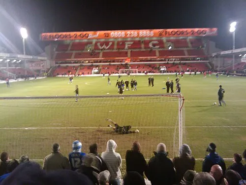 Bescot Stadium Landmark, Walsall7.5 km W
-
Sutton Coldfield Hill Mountain, Birmingham3.7 km NE
-
Shireoak Hill Mountain, Walsall5.6 km N
-
Baitul Muqeet Mosque Attraction, Walsall6.8 km W
-
 St Andrew's Landmark, Birmingham12 km S
Other cities and towns in Walsall
-
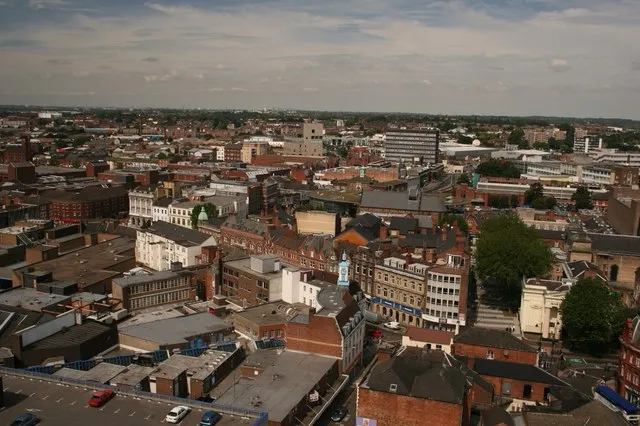 Walsall City, Walsall6.8 km W
-
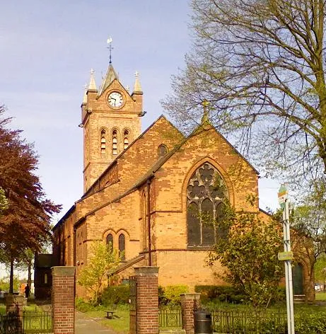 Bloxwich Town, Walsall9.1 km NW
-
Brownhills Town, Walsall6.5 km NW
-
 Willenhall Town, Walsall12 km W
-
Pelsall Town, Walsall7.6 km NW
Sources & licences
Data last updated: · 2 independent sources