Aldridge
Located in Walsall, England Coordinates: 52°36′20″ N 1°55′02″ W
- Population
- 26,896
- 26.9K
- Elevation
- 162 m
- above sea level
- Local time
- UTC+00:00
- Europe/London · UTC+00:00
About Aldridge
Aldridge is a town. Location: Walsall, England. Population: 26,896. Elevation: 162 m.
Aldridge is a town in the Metropolitan Borough of Walsall in the West Midlands, England. It was historically a village, which was part of Staffordshire until 1974. The town is three miles (five kilometres) from Brownhills, five miles (eight kilometres) from Walsall, six miles (ten kilometres) from Sutton Coldfield and seven miles (eleven kilometres) from Lichfield.
Read more on Wikipedia Text: Wikipedia contributors · CC BY-SA 4.0 · shortened
At a glance
- Area
- 11 km²
Source: Wikidata
In comparison
- No. 4 of 10 places in Walsall by population
- Nearest larger town: Walsall, 5 km SW
- 10 sights and natural places within 10 km Shireoak Hill, Barr Beacon
Nearby attractions & nature
Everything nearby-
Shireoak Hill Mountain, Walsall2.8 km N
-
Barr Beacon Mountain, Walsall3.6 km S
-
Baitul Muqeet Mosque Attraction, Walsall5.3 km SW
-
 Bescot Stadium Landmark, Walsall6.7 km SW
-
Kings Standing Wood Natural site, England4.9 km SE
-
Walsall Castle Historic site, Walsall6 km W
-
Sutton Coldfield Hill Mountain, Birmingham5.8 km E
-
Sutton Coldfield Transmitting Station Landmark, Birmingham5.7 km E
Other cities and towns in Walsall
-
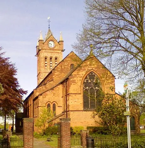 Bloxwich Town, Walsall6.1 km W
-
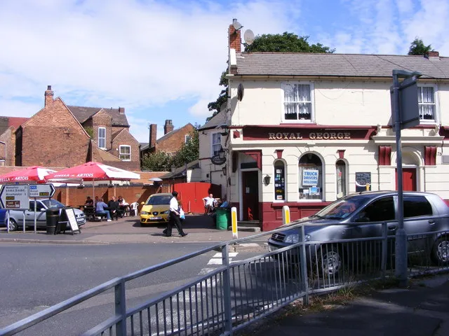 Willenhall Town, Walsall9.9 km W
Sources & licences
Data last updated: · 2 independent sources