- Elevation
- 103 m
- above sea level
- Local time
- UTC+00:00
- Europe/London · UTC+00:00
- Airports
- MAN Manchester Airport22 km
- LPL Liverpool John Lennon Airport42 km
About Outwood
Outwood is a village. Location: Borough of Bury, England. Elevation: 103 m.
Outwood is a suburban area in the metropolitan borough of Bury, in the county of Greater Manchester, England. It neighbours the market town Radcliffe that is connected to the suburb via Outwood Road. Until 1974 it was in Lancashire.
Source: Wikipedia · CC BY-SA 4.0
Photos of Outwood
-
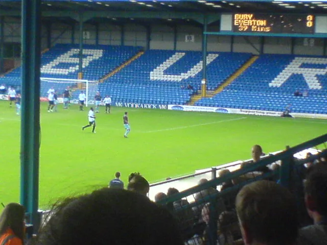
Gigg Lane Kb194buryfc at English Wikipedia · CC BY-SA 3.0

Climate of Outwood
Best months for sightseeingBest months for sightseeing: June–August.
This month · November
A wet month
Day 9° · Night 4° · Rain 123 mm
- Hottest month
- July (day 20°)
- Coldest month
- January (night 1°)
- Wettest month
- November (123 mm)
- Driest month
- May (65 mm)
Bars: average monthly low and high temperature. Below: precipitation. Monthly averages for 1970–2000 at about 18 km resolution, adjusted for elevation. Highlighted months are mild and relatively dry. Source: WorldClim 2.1 (CC BY 4.0).
Show values as a table
| Month | Jan | Feb | Mar | Apr | May | Jun | Jul | Aug | Sep | Oct | Nov | Dec |
|---|---|---|---|---|---|---|---|---|---|---|---|---|
| Average high (°C) | 6° | 7° | 9° | 12° | 15° | 18° | 20° | 20° | 17° | 13° | 9° | 7° |
| Average low (°C) | 1° | 1° | 3° | 4° | 7° | 10° | 12° | 12° | 10° | 7° | 4° | 2° |
| Precipitation (mm) | 109 | 72 | 90 | 67 | 65 | 79 | 77 | 96 | 98 | 121 | 123 | 119 |
How to get to Outwood
The nearest airport is Manchester Airport (MAN), 22 km to the south as the crow flies. The nearest large city is Salford, 7 km to the southeast.
Airports
- Manchester Airport (MAN) Manchester, Greater Manchester 22 kmsouth
- Liverpool John Lennon Airport (LPL) Liverpool 42 kmsouthwest
- Leeds Bradford Airport (LBA) Leeds, West Yorkshire 57 kmnortheast
Nearby large cities
- Salford Population: 129.8K 7 kmsoutheast
- Bolton Population: 141.3K 8 kmnorthwest
- Manchester Population: 569K 10 kmsoutheast
- Oldham Population: 237.1K 14 kmeast
- Stockport Population: 139.1K 19 kmsoutheast
Straight-line distances; road distances are longer. Airport data: OurAirports.
Day trips from Outwood
Within 100 km: 677 historic and cultural sites, 1,325 natural sites, 236 lakes, rivers and coasts.
0–25 km151 places
- Saint George's Island Island 10 kmSE
- The Island Island 16 kmNW
- Birch Island Island 25 kmS
- Pickup Bank Reservoir Lake 18 kmN
25–60 km677 places
- Great Britain Island 55 kmNE
- Thurstaston Beach Beach 59 kmSW
- Formby Beach Beach 51 kmW
- Ainsdale Beach Beach 49 kmW
60–100 km1,410 places
- High Moor Mountain 91 kmNW
- Roanhead Beach Beach 91 kmNW
- The Island Island 89 kmNE
- Tuft Rock Island 100 kmNW
Straight-line distances.
Nearby attractions & nature
Everything nearby-
Clarke's Hill Mountain, Borough of Bury0.9 km E
-
Radcliffe Tower Landmark, Borough of Bury2.4 km NE
-
Gigg Lane Landmark, Borough of Bury4.5 km NE
-
River Roch River, England3.1 km NE
-
Agecroft Hall Historic site, Borough of Bury4.1 km SE
-
School Landmark, Borough of Bury4.5 km N
Sources & licences
Data last updated: · 2 independent sources