- Population
- 9,000
- 9K
- Elevation
- 110 m
- above sea level
- Local time
- UTC+00:00
- Europe/London · UTC+00:00
- Airports
- LBA Leeds Bradford Airport9 km
- MAN Manchester Airport63 km
About Saltaire
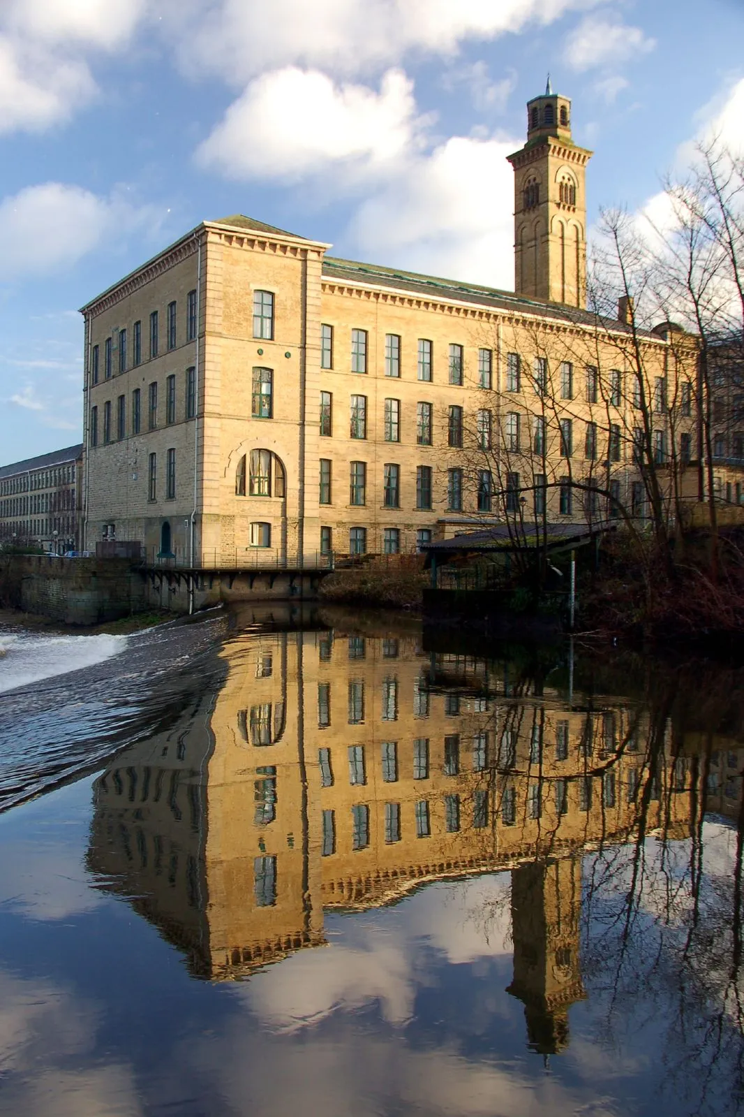
Saltaire is a town. Location: Bradford, England. Population: 9,000. Elevation: 110 m.
Saltaire is a Victorian model village near Shipley, West Yorkshire, England, south of the River Aire, Salts Mill was built between the railway and the Leeds and Liverpool Canal. The mill and houses were built for Titus Salt between 1851 and 1871 to allow his workers to live in better conditions than the slums of Bradford. The mill ceased production in 1986 and was converted into a multifunctional location with an art gallery, restaurants, and the headquarters of a technology company.
Read more on Wikipedia Text: Wikipedia contributors · CC BY-SA 4.0 · shortened
At a glance
- Heritage designation
- World Heritage Site
- Area
- 20 ha
- Official website
- saltairevillage.info
Source: Wikidata
In comparison
- No. 4 of 6 places in Bradford by population
- Nearest larger town: Shipley, 1 km E
- 22 sights and natural places within 10 km Idle Hill, Baildon Hill
Climate of Saltaire
Best months for sightseeingBest months for sightseeing: June–August.
Bars: average monthly low and high temperature. Below: precipitation. Monthly averages for 1970–2000 at about 18 km resolution, adjusted for elevation. Highlighted months are mild and relatively dry. Source: WorldClim 2.1 (CC BY 4.0).
Show values as a table
| Month | Jan | Feb | Mar | Apr | May | Jun | Jul | Aug | Sep | Oct | Nov | Dec |
|---|---|---|---|---|---|---|---|---|---|---|---|---|
| Average high (°C) | 6° | 6° | 9° | 11° | 15° | 18° | 20° | 20° | 17° | 13° | 9° | 7° |
| Average low (°C) | 1° | 1° | 3° | 4° | 7° | 10° | 12° | 12° | 10° | 7° | 4° | 2° |
| Precipitation (mm) | 98 | 71 | 75 | 64 | 57 | 69 | 54 | 68 | 72 | 83 | 89 | 98 |
Airports nearest to Saltaire
- Leeds Bradford Airport (LBA) Leeds, West Yorkshire 9 km
- Manchester Airport (MAN) Manchester, Greater Manchester 63 km
- Teesside International Airport (MME) Darlington, Durham 79 km
Straight-line distance; airports with scheduled flights only. Source: OurAirports (public domain).
Nearby attractions & nature
Everything nearby-
Idle Hill Mountain, Wrose2.1 km E
-
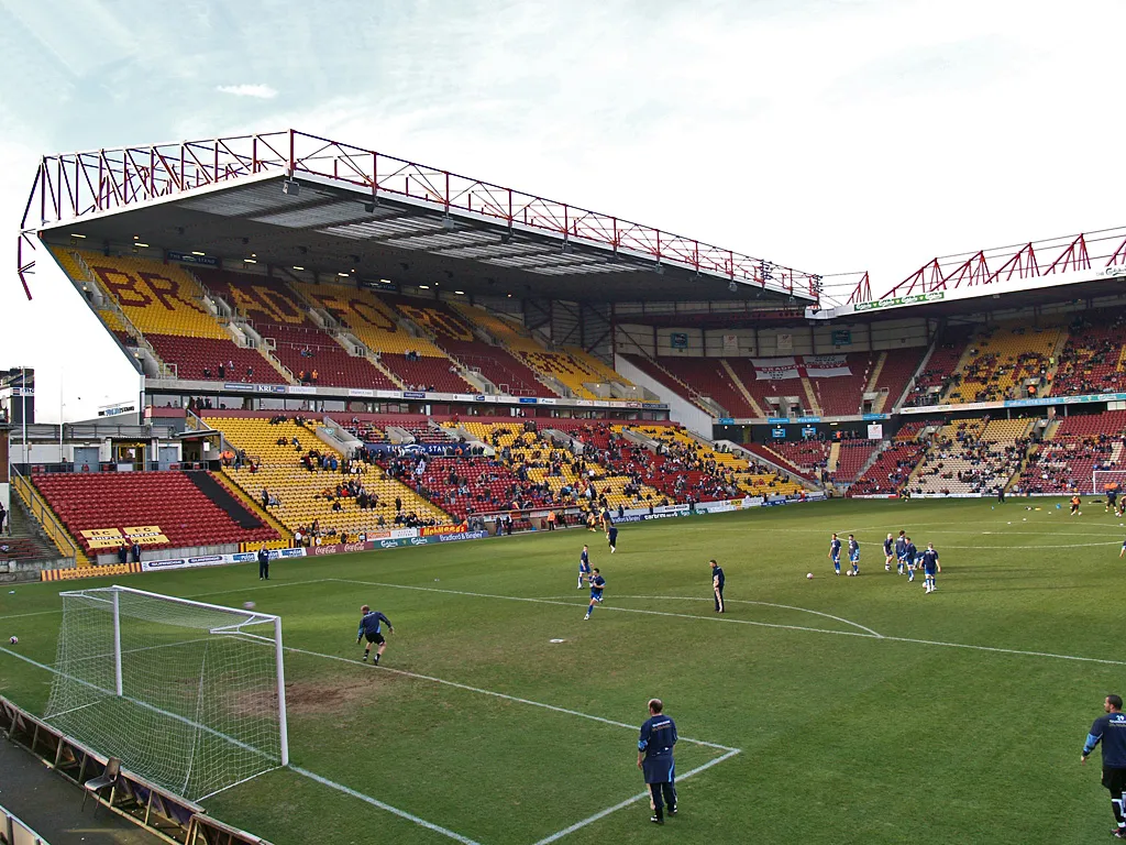 Valley Parade Landmark, Trident3.6 km SE
-
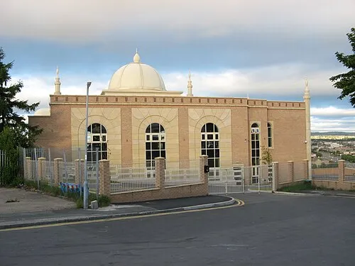 Al-Mahdi Mosque Attraction, Bradford4.4 km SE
-
Baildon Hill Mountain, Baildon2.6 km N
-
Chellow Heights Mountain, Bradford3.6 km SW
-
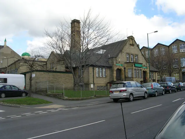 Bait-ul-Hamd Attraction, Bradford5.8 km SE
-
Esholt Arched Railway Bridge Landmark, Bradford4.8 km NE
-
Harrop Edge Mountain, Bradford5.5 km SW
Other cities and towns in Bradford

Sources & licences
Data last updated: · 2 independent sources