
- Elevation
- 231 m
- above sea level
- Local time
- UTC+00:00
- Europe/London · UTC+00:00
- Airports
- LTN London Luton Airport31 km
- LHR London Heathrow Airport36 km
About Dunsmore
Dunsmore is a village. Location: Ellesborough, Wycombe. Elevation: 231 m.
Dunsmore is a hamlet in the parish of Ellesborough, in the Buckinghamshire county of South East England. It occupies a hilltop position in the Chiltern Hills, about 2 miles south of Wendover. Access is by two steep, single-track hillside lanes. The place's name is Anglo-Saxon in origin, and means literally Dunna's moor. Much of the surrounding land is owned by the National Trust and is heavily wooded with beech trees, and bracken.
Source: Wikipedia · CC BY-SA 4.0
Photos of Dunsmore
-

Bill Boaden · CC BY-SA 2.0 -

Peter S · CC BY-SA 2.0 -

Peter S · CC BY-SA 2.0 -

David Howard · CC BY-SA 2.0 -

David Howard · CC BY-SA 2.0


Climate of Dunsmore
Best months for sightseeingBest months for sightseeing: June–August.
This month · November
A cold month
Day 9° · Night 3° · Rain 69 mm
- Hottest month
- July (day 21°)
- Coldest month
- February (night 1°)
- Wettest month
- December (72 mm)
- Driest month
- July (44 mm)
Bars: average monthly low and high temperature. Below: precipitation. Monthly averages for 1970–2000 at about 18 km resolution, adjusted for elevation. Highlighted months are mild and relatively dry. Source: WorldClim 2.1 (CC BY 4.0).
Show values as a table
| Month | Jan | Feb | Mar | Apr | May | Jun | Jul | Aug | Sep | Oct | Nov | Dec |
|---|---|---|---|---|---|---|---|---|---|---|---|---|
| Average high (°C) | 6° | 6° | 9° | 12° | 16° | 19° | 21° | 21° | 18° | 13° | 9° | 7° |
| Average low (°C) | 1° | 1° | 2° | 3° | 6° | 9° | 12° | 12° | 9° | 6° | 3° | 2° |
| Precipitation (mm) | 67 | 49 | 56 | 52 | 57 | 58 | 44 | 57 | 63 | 68 | 69 | 72 |
How to get to Dunsmore
The nearest airport is London Luton Airport (LTN), 31 km to the northeast as the crow flies. The nearest large city is High Wycombe, 12 km to the south.
Airports
- London Luton Airport (LTN) Luton, Luton 31 kmnortheast
- London Heathrow Airport (LHR) London 36 kmsoutheast
- London City Airport (LCY) London 62 kmsoutheast
Nearby large cities
- High Wycombe Population: 133.2K 12 kmsouth
- Watford Population: 125.7K 26 kmeast
- Slough Population: 164.8K 28 kmsoutheast
- Luton Population: 225.3K 28 kmnortheast
- Milton Keynes Population: 256.4K 34 kmnorth
Straight-line distances; road distances are longer. Airport data: OurAirports.
Day trips from Dunsmore
Within 100 km: 891 historic and cultural sites, 667 natural sites, 261 lakes, rivers and coasts.
0–25 km98 places
- Temple Mill Island Island 21 kmS
- Temple Island Island 22 kmSW
- The Mill Island Island 24 kmS
- Sherriff Island Island 19 kmS
25–60 km880 places
- White Hart Lane Landmark 50 kmE
- The Lynch Island 29 kmS
- Holm Island Island 37 kmSE
- Sunbury Court Island 44 kmSE
60–100 km841 places
- Spotlites @ Kings Theatre Attraction 98 kmSE
- Canvey Island Island 95 kmE
- Two Tree Island Island 98 kmE
- St Mary's Island Island 97 kmE
Straight-line distances.
Nearby attractions & nature
Everything nearby-
Coombe Hill Mountain, Ellesborough1.9 km NW
-
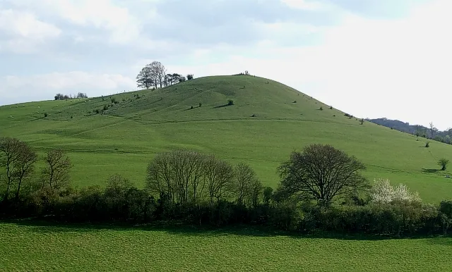 Cymbelines Mount Historic site, Ellesborough3.2 km W
-
Beacon Hill Mountain, Ellesborough2.8 km W
-
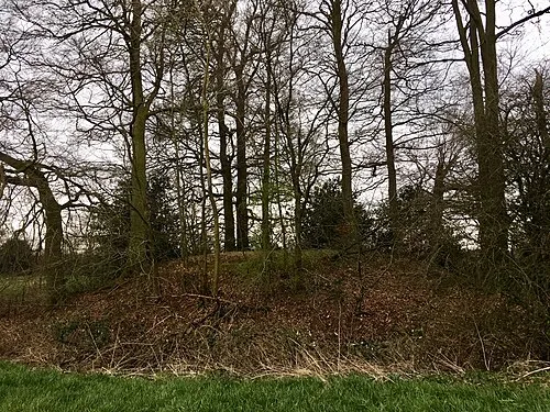 Hampden Danes Camp Historic site, Great and Little Hampden3.6 km SW
-
Pulpit Hill Mountain, Great and Little Kimble cum Marsh3 km W
-
Little Kimble Motte Historic site, Great and Little Kimble cum Marsh3.6 km W
Sources & licences
Data last updated: · 2 independent sources