
- Elevation
- 83 m
- above sea level
- Local time
- UTC+00:00
- Europe/London · UTC+00:00
- Airports
- LHR London Heathrow Airport33 km
- LTN London Luton Airport46 km
About Fingest
Fingest is a village. Location: Hambleden, Wycombe. Elevation: 83 m.
Fingest is a village in Buckinghamshire, England. It is in the Chiltern Hills near the border with Oxfordshire. It is about six miles WSW of High Wycombe. It lies in the civil parish of Hambleden. The parish church of St Bartholomew's dates from the early Norman period. It has an unusual tower, with a double vaulted roof. The church is a Grade I listed building.
Source: Wikipedia · CC BY-SA 4.0
Photos of Fingest
-

No Swan So Fine · CC BY-SA 4.0 -

Michael Trolove · CC BY-SA 2.0 -

Richard Durley · CC BY-SA 2.0 -

Des Blenkinsopp · CC BY-SA 2.0 -

Mark Percy · CC BY-SA 2.0


Climate of Fingest
Best months for sightseeingBest months for sightseeing: June–August.
This month · November
A cold month
Day 10° · Night 4° · Rain 72 mm
- Hottest month
- July (day 22°)
- Coldest month
- February (night 1°)
- Wettest month
- December (74 mm)
- Driest month
- July (44 mm)
Bars: average monthly low and high temperature. Below: precipitation. Monthly averages for 1970–2000 at about 18 km resolution, adjusted for elevation. Highlighted months are mild and relatively dry. Source: WorldClim 2.1 (CC BY 4.0).
Show values as a table
| Month | Jan | Feb | Mar | Apr | May | Jun | Jul | Aug | Sep | Oct | Nov | Dec |
|---|---|---|---|---|---|---|---|---|---|---|---|---|
| Average high (°C) | 7° | 7° | 10° | 12° | 16° | 19° | 22° | 22° | 18° | 14° | 10° | 8° |
| Average low (°C) | 2° | 1° | 3° | 4° | 7° | 10° | 12° | 12° | 10° | 7° | 4° | 3° |
| Precipitation (mm) | 71 | 50 | 58 | 50 | 56 | 58 | 44 | 58 | 65 | 70 | 72 | 74 |
How to get to Fingest
The nearest airport is London Heathrow Airport (LHR), 33 km to the southeast as the crow flies. The nearest large city is High Wycombe, 9 km to the east.
Airports
- London Heathrow Airport (LHR) London 33 kmsoutheast
- London Luton Airport (LTN) Luton, Luton 46 kmnortheast
- London City Airport (LCY) London 66 kmeast
Nearby large cities
- High Wycombe Population: 133.2K 9 kmeast
- Reading Population: 318K 19 kmsouth
- Slough Population: 164.8K 23 kmsoutheast
- Oxford Population: 162.1K 30 kmnorthwest
- Watford Population: 125.7K 34 kmeast
Straight-line distances; road distances are longer. Airport data: OurAirports.
Day trips from Fingest
Within 100 km: 904 historic and cultural sites, 716 natural sites, 286 lakes, rivers and coasts.
0–25 km114 places
- The Lynch Island 13 kmS
- Windsor Racecourse Island Island 21 kmSE
- Wargrave Island Island 11 kmS
- Loddon Island Island 16 kmS
25–60 km824 places
- White Hart Lane Landmark 56 kmE
- Holm Island Island 31 kmSE
- Sunbury Court Island 41 kmSE
- Rivermead Island 40 kmSE
60–100 km968 places
- Portsea Island Natural site 91 kmS
- St Nicholas Church Shoreham Attraction 95 kmSE
- The Marlipins Museum Museum 97 kmSE
- Calshot Beach Beach 94 kmS
Straight-line distances.
Nearby attractions & nature
Everything nearby-
Frieth Hill Mountain, Hambleden1.6 km E
-
Widdenton Park Hill Mountain, Lane End4 km E
-
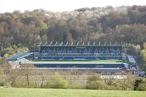 Adams Park Landmark, Wycombe5.8 km E
-
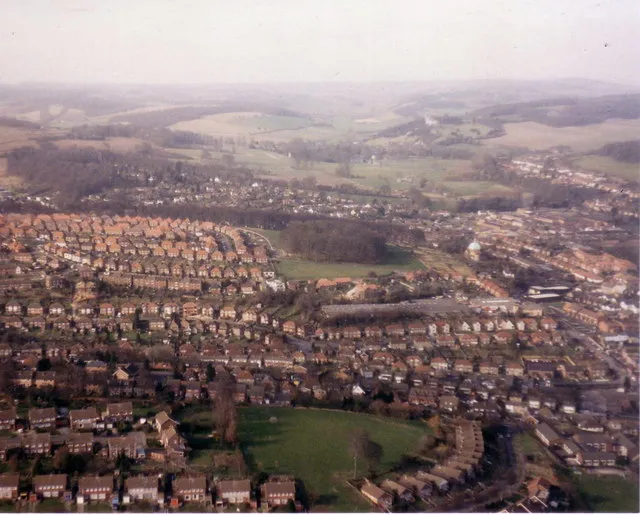 Desborough Castle Historic site, Wycombe7.3 km E
-
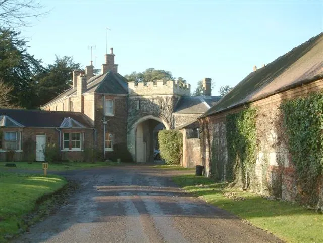 Shirburn Castle Historic site, Shirburn9.4 km NW
-
Stokenchurch BT Tower Landmark, Stokenchurch6.6 km NW
Sources & licences
Data last updated: · 2 independent sources