- Population
- 133,204
- 133.2K
- Elevation
- 76 m
- above sea level
- Local time
- UTC+00:00
- Europe/London · UTC+00:00
- Airports
- LHR London Heathrow Airport27 km
- LTN London Luton Airport38 km
About High Wycombe
High Wycombe is a city. Location: Wycombe, Buckinghamshire. Population: 133,204. Elevation: 76 m.
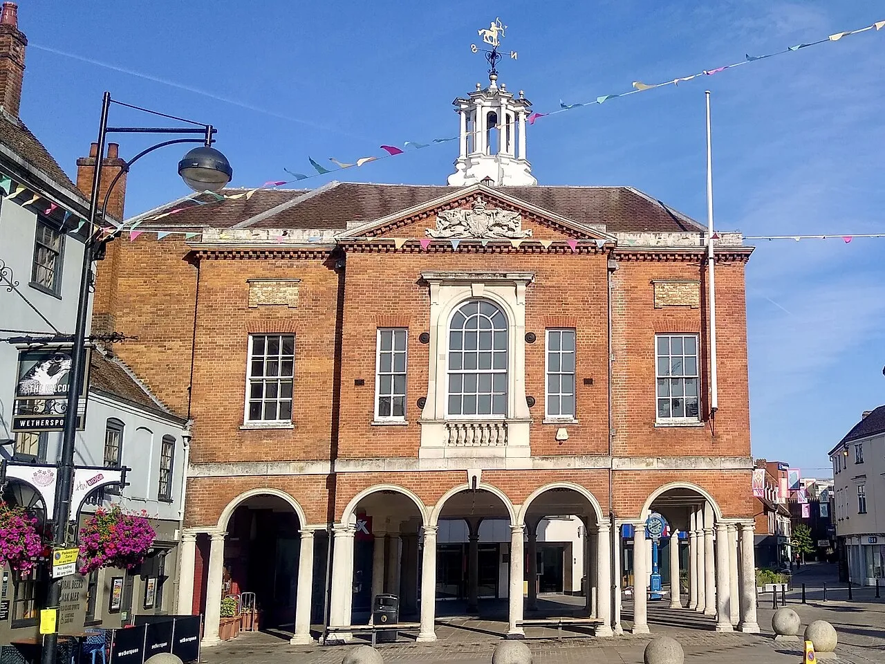
High Wycombe, often referred to as Wycombe ( WIK-əm), is a market town in Buckinghamshire, England. Lying in the valley of the River Wye surrounded by the Chiltern Hills, it is 29 miles (47 km) west-northwest of Charing Cross in London, 13 miles (21 km) south-southeast of Aylesbury, 23 miles (37 km) southeast of Oxford, 15 miles (24 km) northeast of Reading and 8 miles (13 km) north of Maidenhead.
Source: Wikipedia · CC BY-SA 4.0
Photos of High Wycombe
-

Peter Trimming · CC BY-SA 2.0 -

Des Blenkinsopp · CC BY-SA 2.0 -

Arriva436 · CC BY 3.0 -

Stuart Logan · CC BY-SA 2.0 -

Rob Emms · CC BY-SA 2.0


Travel notes for High Wycombe
From Wikivoyage
High Wycombe is a large and historic town between hills in the county of Buckinghamshire in England. Furniture making played an extensive role in the town's industrial heritage. The market in High Street dates back to the Middle Ages.
Understand+
Often just called Wycombe, it is the 'furniture capital of England' . Furniture making was a large employer in the town in the 20th Century, although this has mostly now ended.
Each May the town has an unusual ceremony known as Mayor Making. A tradition dating back to 1678, the town holds a public weighing of the Mayor, the intention being to see if they have put on weight, i.e., "to see if they are getting fat at rate payers' expense". In the interests of confidentiality the actual weight is not revealed but the gain or loss of weight is and is announced by the town crier.
In the centre of High Wycombe is a valley, and home of the popular park "The Rye". In most directions roads rise steeply from the centre, and therefore most residential streets in town are sloping or steep.
Get in+
By road:
The town lies on the main London-Oxford-Birmingham M40 motorway. 30 miles from London, 30 miles (48 km) to Oxford and 12 miles (19 km) from the M25 motorway.
The A404 main road connects the town to the M4 (London-Reading-Bristol-Swansea) motorway (to the S), close to Maidenhead.
By train:
1 Railway station, Amersham Hill, High Wycombe, HP13 6NN. Chiltern Railways manage the station and run services. On the line from Birmingham to London Marylebone and served by both local and fast trains. There are usually 3 trains an hour between High Wycombe and London Marylebone and 1 train an hour between High Wycombe and Birmingham. Check timetables as trains do not run overnight. (updated Jun 2017)
By bus:
Wycombe is also served by buses to and from many of the nearby towns and villages, though due to the sheer number of traffic lights installed along London Road and around the entrance to the bus station it's generally quicker to walk.
There are also bus services to Oxford and Stansted Airport.
The town boasts a spacious park and ride facility, see National Park and Ride Directory which stops running at 7PM, rendering it useless to anyone wanting to have dinner, visit the cinema or go late-night shopping. At 6:30PM, however, the Eden Car Park changes its pricing plan to £1.50 for the rest of the evening. The Dovecot car park is even cheaper, but much less well-maintained.
By air:
Whilst the town does have an airfield Booker Airfield, this is a private airfield for light aircraft. It also offers glider and helicopter training.
The town is 20 miles (32 km) from Heathrow Airport and 40 miles (64 km) from Luton Airport
Source: Wikivoyage · CC BY-SA 4.0 · abridged
Climate of High Wycombe
Best months for sightseeingBest months for sightseeing: June–August.
This month · November
A cold month
Day 10° · Night 4° · Rain 66 mm
- Hottest month
- July (day 22°)
- Coldest month
- February (night 1°)
- Wettest month
- December (69 mm)
- Driest month
- July (41 mm)
Bars: average monthly low and high temperature. Below: precipitation. Monthly averages for 1970–2000 at about 18 km resolution, adjusted for elevation. Highlighted months are mild and relatively dry. Source: WorldClim 2.1 (CC BY 4.0).
Show values as a table
| Month | Jan | Feb | Mar | Apr | May | Jun | Jul | Aug | Sep | Oct | Nov | Dec |
|---|---|---|---|---|---|---|---|---|---|---|---|---|
| Average high (°C) | 7° | 8° | 10° | 13° | 17° | 20° | 22° | 22° | 19° | 14° | 10° | 8° |
| Average low (°C) | 2° | 1° | 3° | 4° | 7° | 10° | 12° | 12° | 10° | 7° | 4° | 3° |
| Precipitation (mm) | 65 | 46 | 53 | 49 | 54 | 55 | 41 | 55 | 61 | 67 | 66 | 69 |
How to get to High Wycombe
The nearest airport is London Heathrow Airport (LHR), 27 km to the southeast as the crow flies. The nearest large city is Slough, 17 km to the southeast.
Airports
- London Heathrow Airport (LHR) London 27 kmsoutheast
- London Luton Airport (LTN) Luton, Luton 38 kmnortheast
- London City Airport (LCY) London 57 kmeast
Nearby large cities
- Slough Population: 164.8K 17 kmsoutheast
- Watford Population: 125.7K 25 kmeast
- Reading Population: 318K 25 kmsouthwest
- Harrow Population: 149.2K 29 kmeast
- Luton Population: 225.3K 36 kmnortheast
Straight-line distances; road distances are longer. Airport data: OurAirports.
Day trips from High Wycombe
Within 100 km: 909 historic and cultural sites, 697 natural sites, 289 lakes, rivers and coasts.
0–25 km126 places
- The Lynch Island 18 kmSW
- Windsor Racecourse Island Island 17 kmSE
- Wargrave Island Island 16 kmSW
- Loddon Island Island 20 kmSW
25–60 km874 places
- White Hart Lane Landmark 47 kmE
- Holm Island Island 26 kmSE
- Sunbury Court Island 35 kmSE
- Rivermead Island 35 kmSE
60–100 km895 places
- Portsea Island Natural site 95 kmS
- Spotlites @ Kings Theatre Attraction 93 kmE
- St Nicholas Church Shoreham Attraction 93 kmS
- The Marlipins Museum Museum 95 kmS
Straight-line distances.
High Wycombe and similar cities
Side by side with cities of similar size in the same country: population, elevation and climate.
| Measure | High Wycombe | Gloucester | Exeter | Colchester |
|---|---|---|---|---|
| Population | 133.2K | 132.4K | 130.7K | 130.2K |
| Elevation | 76 m | 24 m | 46 m | 29 m |
| Summer day (hottest month) | 22° | 22° | 21° | 22° |
| Winter night (coldest month) | 1° | 2° | 3° | 1° |
| Annual rainfall | 681 mm | 717 mm | 949 mm | 560 mm |
| Best months | Jun–Aug | Jun–Aug | Jun–Aug | Jun–Aug |
| Distance | — | 106 km | 219 km | 118 km |
Climate values are 1970–2000 monthly averages; straight-line distance.
Nearby attractions & nature
Everything nearby-
High Wycombe Historic site, Wycombe0.2 km N
-
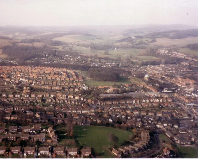 Desborough Castle Historic site, Wycombe2 km W
-
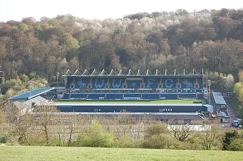 Adams Park Landmark, Wycombe3.5 km W
-
Widdenton Park Hill Mountain, Lane End5.1 km W
-
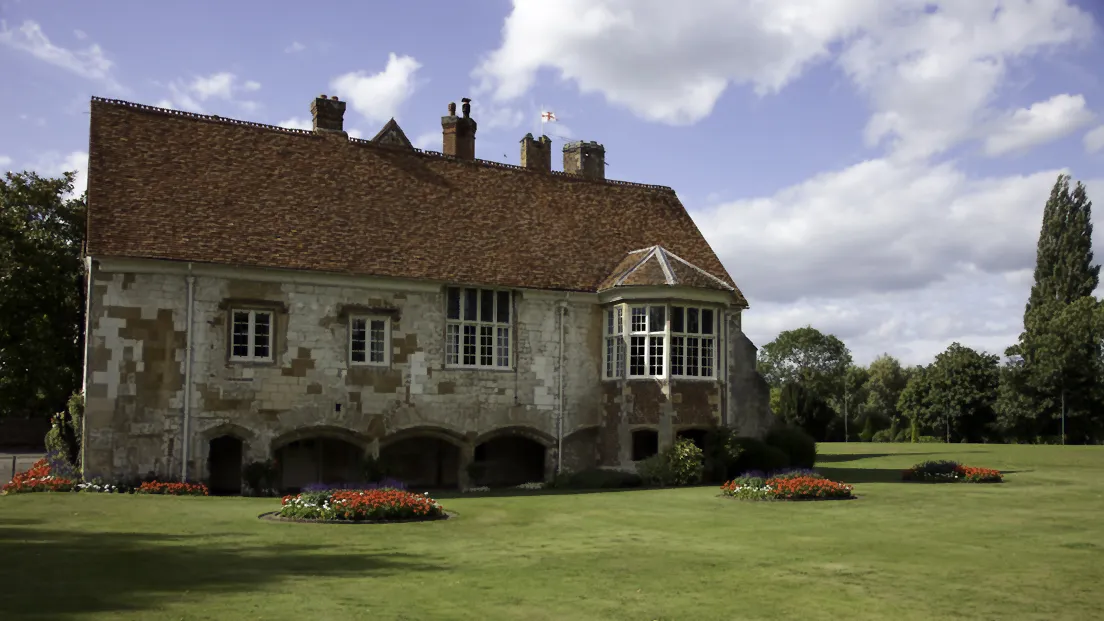 Bisham Abbey Attraction, Bisham8.4 km S
-
Bradenham Manor Historic site, Bradenham5.5 km NW
-
Bradenham Hill Mountain, Bledlow-cum-Saunderton6.6 km NW
-
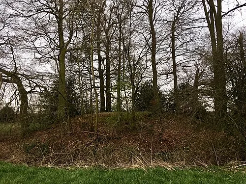 Hampden Danes Camp Historic site, Great and Little Hampden9.2 km N
Sources & licences
Data last updated: · 2 independent sources