
- Elevation
- 195 m
- above sea level
- Local time
- UTC+00:00
- Europe/London · UTC+00:00
- Airports
- LHR London Heathrow Airport33 km
- LTN London Luton Airport37 km
About Walter's Ash
Walter's Ash is a village. Location: Hughenden, Wycombe. Elevation: 195 m.
Walters Ash (also sometimes called Walter's Ash) is a village in the parish of Hughenden, in Buckinghamshire, England. It is located in the Chiltern Hills, to the west of the main village, adjacent to Naphill. Between 1983 and 1985 there was a peace camp outside RAF High Wycombe station. This was to protest about the RAF bunker on National Trust land designated a place of Historic Interest or Natural Beauty. There is also a water reservoir which was constructed at the same time.
Source: Wikipedia · CC BY-SA 4.0
Photos of Walter's Ash
-

David Howard · CC BY-SA 2.0 -

David Howard · CC BY-SA 2.0 -

Des Blenkinsopp · CC BY-SA 2.0 -

Des Blenkinsopp · CC BY-SA 2.0 -
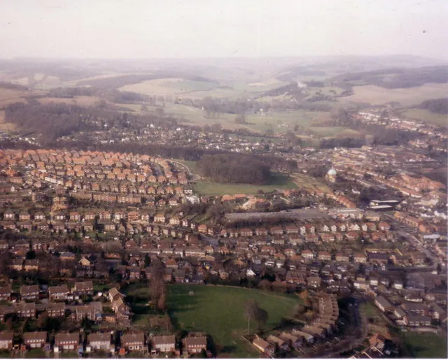
Desborough Castle Stephen Williams · CC BY-SA 2.0


Climate of Walter's Ash
Best months for sightseeingBest months for sightseeing: June–August.
This month · November
A cold month
Day 9° · Night 3° · Rain 69 mm
- Hottest month
- July (day 22°)
- Coldest month
- February (night 1°)
- Wettest month
- December (72 mm)
- Driest month
- July (44 mm)
Bars: average monthly low and high temperature. Below: precipitation. Monthly averages for 1970–2000 at about 18 km resolution, adjusted for elevation. Highlighted months are mild and relatively dry. Source: WorldClim 2.1 (CC BY 4.0).
Show values as a table
| Month | Jan | Feb | Mar | Apr | May | Jun | Jul | Aug | Sep | Oct | Nov | Dec |
|---|---|---|---|---|---|---|---|---|---|---|---|---|
| Average high (°C) | 6° | 7° | 9° | 12° | 16° | 19° | 22° | 21° | 18° | 13° | 9° | 7° |
| Average low (°C) | 1° | 1° | 2° | 4° | 7° | 10° | 12° | 12° | 10° | 7° | 3° | 2° |
| Precipitation (mm) | 67 | 49 | 56 | 52 | 57 | 58 | 44 | 57 | 63 | 68 | 69 | 72 |
How to get to Walter's Ash
The nearest airport is London Heathrow Airport (LHR), 33 km to the southeast as the crow flies. The nearest large city is High Wycombe, 6 km to the southeast.
Airports
- London Heathrow Airport (LHR) London 33 kmsoutheast
- London Luton Airport (LTN) Luton, Luton 37 kmnortheast
- London City Airport (LCY) London 62 kmeast
Nearby large cities
- High Wycombe Population: 133.2K 6 kmsoutheast
- Slough Population: 164.8K 23 kmsoutheast
- Watford Population: 125.7K 28 kmeast
- Reading Population: 318K 28 kmsouthwest
- Oxford Population: 162.1K 33 kmwest
Straight-line distances; road distances are longer. Airport data: OurAirports.
Day trips from Walter's Ash
Within 100 km: 904 historic and cultural sites, 692 natural sites, 283 lakes, rivers and coasts.
0–25 km115 places
- The Lynch Island 22 kmS
- Windsor Racecourse Island Island 23 kmSE
- Wargrave Island Island 19 kmS
- Loddon Island Island 24 kmS
25–60 km869 places
- White Hart Lane Landmark 51 kmE
- Holm Island Island 32 kmSE
- Sunbury Court Island 41 kmSE
- Rivermead Island 41 kmSE
60–100 km895 places
- Portsea Island Natural site 99 kmS
- Spotlites @ Kings Theatre Attraction 98 kmE
- St Nicholas Church Shoreham Attraction 100 kmS
- Climping Beach Beach 99 kmS
Straight-line distances.
Nearby attractions & nature
Everything nearby-
Bradenham Manor Historic site, Bradenham1.4 km SW
-
Bradenham Hill Mountain, Bledlow-cum-Saunderton2.3 km SW
-
Slough Hill Mountain, Bledlow-cum-Saunderton2.8 km W
-
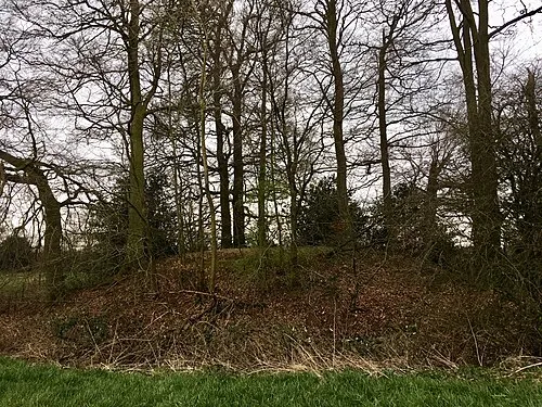 Hampden Danes Camp Historic site, Great and Little Hampden3.9 km N
-
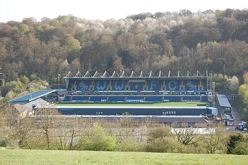 Adams Park Landmark, Wycombe5.2 km S
-
Desborough Castle Historic site, Wycombe5.1 km S
Other cities and towns in Hughenden
-
 Cryers Hill Village, Hughenden4.2 km E
-
Widmer End Village, Hughenden5.3 km E
-
Bryant's Bottom Village, Hughenden2.3 km NE
-
Hughenden Village, Hughenden3.9 km SE
-
Great Kingshill Village, Hughenden4.7 km E
Sources & licences
Data last updated: · 2 independent sources