Dunstable
Located in Central Bedfordshire, England Coordinates: 51°53′05″ N 0°31′02″ W
- Elevation
- 148 m
- above sea level
- Local time
- UTC+00:00
- Europe/London · UTC+00:00
- Places inside
- 5
- listed under Dunstable
About Dunstable
Dunstable is a municipality. Location: Central Bedfordshire, England. Elevation: 148 m.
In comparison
- Nearest larger town: Dunstable, 0 km W
- 33 sights and natural places within 10 km Blow's Down, Dunstable Downs, Chilterns Gateway Centre and Whipsnade Estate
- Listed here: Neighbourhood: 4, Town: 1
Airports nearest to Dunstable
- London Luton Airport (LTN) Luton, Luton 10 km
- London Heathrow Airport (LHR) London 46 km
- London Stansted Airport (STN) London, Essex 52 km
Straight-line distance; airports with scheduled flights only. Source: OurAirports (public domain).
Places in Dunstable
5 places-
Dunstable Town52K
-
Beecroft Neighbourhood
-
California Neighbourhood
-
Downside Neighbourhood
-
Stipers Hill Neighbourhood
Nearby attractions & nature
Everything nearby-
Blow's Down Mountain, Caddington1.3 km E
-
Dunstable Downs, Chilterns Gateway Centre and Whipsnade Estate Natural site, Whipsnade2.5 km SW
-
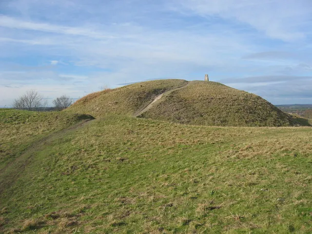 Totternhoe Castle Historic site, Totternhoe4.3 km W
-
Lewsey Farm Mediumwave Transmitter Landmark, Luton3.3 km NE
-
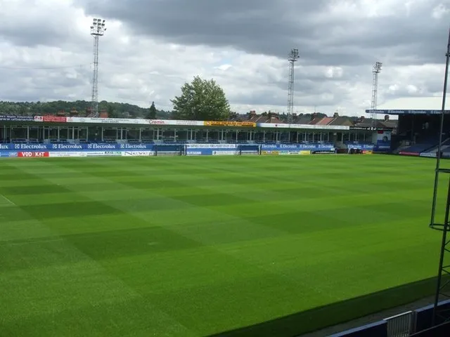 Kenilworth Road Landmark, Luton5.9 km E
-
Warren Knoll Historic site, Tilsworth5.3 km NW
-
Sundon Church Attraction, Sundon5.8 km NE
-
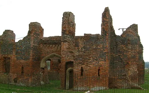 Someries Castle Historic site, Hyde9.9 km E
Other cities and towns in Central Bedfordshire
-
Westoning Municipality, Central Bedfordshire11 km N
-
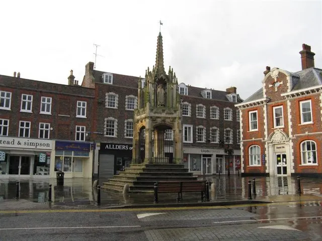 Leighton Buzzard Town, Leighton-Linslade10 km W
-
Totternhoe Municipality, Central Bedfordshire3.6 km W
-
Caddington Municipality, Central Bedfordshire3.7 km SE
-
Whipsnade Municipality, Central Bedfordshire3.8 km S
-
Eaton Bray Municipality, Central Bedfordshire4.5 km W
Sources & licences
Data last updated: