- Elevation
- 79 m
- above sea level
- Local time
- UTC+00:00
- Europe/London · UTC+00:00
- Airports
- LTN London Luton Airport11 km
- STN London Stansted Airport48 km
About Sharpenhoe
Sharpenhoe is a village. Location: Streatley, Central Bedfordshire. Elevation: 79 m. The best months to visit are June–August. The nearest airport is London Luton Airport (11 km). Nearby sights include Moat and WA Robertson memorial.
Photos of Sharpenhoe
-
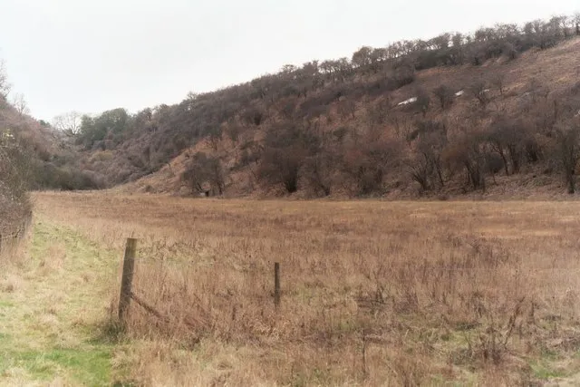
Smithcombe Valley Stuart Warrington · CC BY-SA 2.0 -
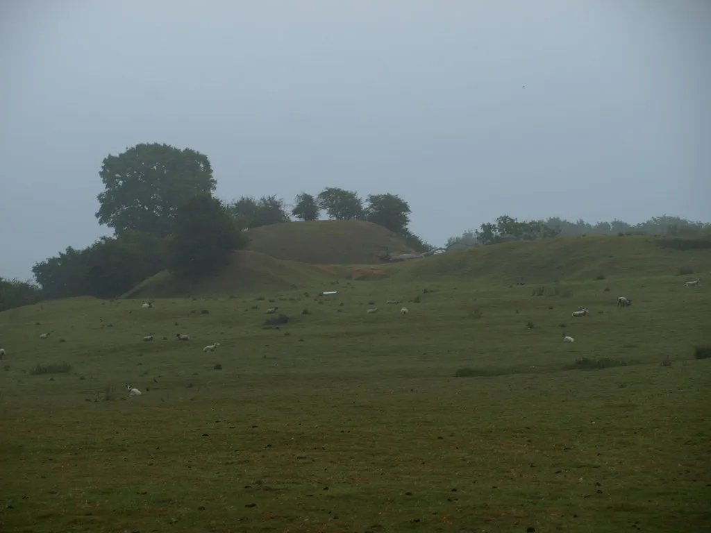
Cainhoe Castle Dennis simpson · CC BY-SA 2.0 -
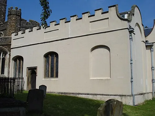
de Grey Mausoleum Tatraplan at English Wikipedia · Public domain


Climate of Sharpenhoe
Best months for sightseeingBest months for sightseeing: June–August.
This month · November
A cold month
Day 10° · Night 4° · Rain 65 mm
- Hottest month
- July (day 22°)
- Coldest month
- February (night 1°)
- Wettest month
- January (66 mm)
- Driest month
- July (45 mm)
Bars: average monthly low and high temperature. Below: precipitation. Monthly averages for 1970–2000 at about 18 km resolution, adjusted for elevation. Highlighted months are mild and relatively dry. Source: WorldClim 2.1 (CC BY 4.0).
Show values as a table
| Month | Jan | Feb | Mar | Apr | May | Jun | Jul | Aug | Sep | Oct | Nov | Dec |
|---|---|---|---|---|---|---|---|---|---|---|---|---|
| Average high (°C) | 7° | 7° | 10° | 12° | 16° | 19° | 22° | 22° | 18° | 14° | 10° | 8° |
| Average low (°C) | 2° | 1° | 3° | 4° | 7° | 10° | 12° | 12° | 10° | 7° | 4° | 3° |
| Precipitation (mm) | 66 | 46 | 54 | 52 | 51 | 60 | 45 | 54 | 59 | 66 | 65 | 65 |
How to get to Sharpenhoe
The nearest airport is London Luton Airport (LTN), 11 km to the southeast as the crow flies. The nearest large city is Luton, 10 km to the south.
Airports
- London Luton Airport (LTN) Luton, Luton 11 kmsoutheast
- London Stansted Airport (STN) London, Essex 48 kmeast
- London Heathrow Airport (LHR) London 55 kmsouth
Nearby large cities
- Luton Population: 225.3K 10 kmsouth
- Bedford Population: 106.9K 19 kmnorth
- Milton Keynes Population: 256.4K 23 kmnorthwest
- Watford Population: 125.7K 35 kmsouth
- High Wycombe Population: 133.2K 42 kmsouthwest
Straight-line distances; road distances are longer. Airport data: OurAirports.
Day trips from Sharpenhoe
Within 100 km: 901 historic and cultural sites, 497 natural sites, 290 lakes, rivers and coasts.
0–25 km166 places
- Apple Island Island 21 kmN
- Longholme Island Island 19 kmN
- Rink Islands Island 19 kmN
- Heron Island Island 25 kmS
25–60 km673 places
- White Hart Lane Landmark 48 kmSE
- Holm Island Island 59 kmS
- Lot's Ait Island 54 kmS
- Windsor Racecourse Island Island 55 kmS
60–100 km849 places
- Spotlites @ Kings Theatre Attraction 94 kmSE
- West Mersea Beach Beach 98 kmE
- Yantlet beach Beach 95 kmSE
- The Lynch Island 61 kmSW
Straight-line distances.
Nearby attractions & nature
Everything nearby-
Moat Historic site, Streatley0.2 km NE
-
WA Robertson memorial Landmark, Streatley0.5 km SE
-
Sharpenhoe Clappers Natural site, England0.4 km SE
-
Smithcombe Valley Natural site, England1.2 km SE
-
Smithcombe Hill Mountain, Streatley1.3 km SE
-
Watergutter Hole Natural site, England1.6 km SE
Sources & licences
Data last updated: