- Population
- 65,430
- 65.4K
- Elevation
- 26 m
- above sea level
- Local time
- UTC+00:00
- Europe/London · UTC+00:00
- Airports
- LPL Liverpool John Lennon Airport7 km
- MAN Manchester Airport42 km
About Ellesmere Port
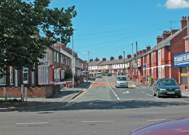
Ellesmere Port is a town. Location: Little Stanney, Cheshire. Population: 65,430. Elevation: 26 m.
Ellesmere Port ( ELZ-meer) is an industrial port town in the Cheshire West and Chester borough in Cheshire, England. Ellesmere Port is on the south-eastern edge of the Wirral Peninsula, six miles (ten kilometres) north of Chester, although not part of the Wirral administratively or Merseyside. It is on the bank of the Manchester Ship Canal. In the 2021 census, the built up area had a population of 65,430. The town was originally established on the River Mersey at the entrance to the Ellesmere Canal.
Source: Wikipedia · CC BY-SA 4.0
Photos of Ellesmere Port
-

Phlips photos · Public domain -

Rept0n1x · CC BY-SA 2.0 -

John S Turner · CC BY-SA 2.0 -

John S Turner · CC BY-SA 2.0 -

Rept0n1x · CC BY-SA 3.0


Travel notes for Ellesmere Port
From Wikivoyage
Ellesmere Port is in West Cheshire. Surrounding villages include Willaston, Neston, Parkgate, and Hooton.
Get in+
1 Ellesmere Port railway station is on a line connecting the town to Birkenhead and Liverpool.
1 Neston train station, CH64 9SR. Neston station is the last English station on the borderlands line
Overpool train station.
Capenhurst station.
Bache station.
Source: Wikivoyage · CC BY-SA 4.0 · abridged
Climate of Ellesmere Port
Best months for sightseeingBest months for sightseeing: June–August.
This month · November
A cold month
Day 10° · Night 4° · Rain 73 mm
- Hottest month
- July (day 20°)
- Coldest month
- February (night 1°)
- Wettest month
- November (73 mm)
- Driest month
- February (43 mm)
Bars: average monthly low and high temperature. Below: precipitation. Monthly averages for 1970–2000 at about 18 km resolution, adjusted for elevation. Highlighted months are mild and relatively dry. Source: WorldClim 2.1 (CC BY 4.0).
Show values as a table
| Month | Jan | Feb | Mar | Apr | May | Jun | Jul | Aug | Sep | Oct | Nov | Dec |
|---|---|---|---|---|---|---|---|---|---|---|---|---|
| Average high (°C) | 7° | 7° | 10° | 12° | 16° | 18° | 20° | 20° | 17° | 14° | 10° | 8° |
| Average low (°C) | 1° | 1° | 3° | 4° | 7° | 10° | 12° | 11° | 9° | 7° | 4° | 2° |
| Precipitation (mm) | 57 | 43 | 53 | 48 | 49 | 54 | 50 | 63 | 66 | 72 | 73 | 67 |
How to get to Ellesmere Port
The nearest airport is Liverpool John Lennon Airport (LPL), 7 km to the northeast as the crow flies. The nearest large city is Birkenhead, 15 km to the northwest.
Airports
- Liverpool John Lennon Airport (LPL) Liverpool 7 kmnortheast
- Manchester Airport (MAN) Manchester, Greater Manchester 42 kmeast
- Leeds Bradford Airport (LBA) Leeds, West Yorkshire 105 kmnortheast
Nearby large cities
- Birkenhead Population: 325.3K 15 kmnorthwest
- Liverpool Population: 496.8K 16 kmnorth
- St Helens Population: 183.2K 22 kmnortheast
- Warrington Population: 172.3K 25 kmnortheast
- Wigan Population: 175.4K 34 kmnortheast
Straight-line distances; road distances are longer. Airport data: OurAirports.
Day trips from Ellesmere Port
Within 100 km: 679 historic and cultural sites, 1,875 natural sites, 208 lakes, rivers and coasts.
0–25 km129 places
- Thurstaston Beach Beach 17 kmW
- Hilbre Island Island 25 kmNW
- Little Eye Island 23 kmNW
- Wigg Island Island 16 kmNE
25–60 km689 places
- Formby Beach Beach 34 kmN
- Ainsdale Beach Beach 38 kmN
- St Anne's Beach Beach 53 kmN
- Saint George's Island Island 48 kmNE
60–100 km1,944 places
- Great Britain Island 100 kmNE
- Anglesey Island 96 kmW
- Traeth Lligwy Beach 91 kmW
- Ynys Tywyn Island 91 kmSW
Straight-line distances.
Ellesmere Port and similar cities
Side by side with cities of similar size in the same country: population, elevation and climate.
| Measure | Ellesmere Port | Torquay | Wrexham | Taunton |
|---|---|---|---|---|
| Population | 65.4K | 65.4K | 65.7K | 64.6K |
| Elevation | 26 m | 8 m | 87 m | 22 m |
| Summer day (hottest month) | 20° | 21° | 20° | 21° |
| Winter night (coldest month) | 1° | 4° | 0° | 3° |
| Annual rainfall | 695 mm | 947 mm | 673 mm | 954 mm |
| Best months | Jun–Aug | Jun–Sep | Jun–Aug | Jun–Aug |
| Distance | — | 316 km | 27 km | 252 km |
Climate values are 1970–2000 monthly averages; straight-line distance.
Nearby attractions & nature
Everything nearby-
Mount Manisty Mountain, Cheshire3.1 km N
-
Stanlaw Abbey Historic site, Cheshire3 km NE
-
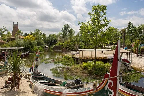 Chester Zoo Attraction, Caughall5.9 km S
-
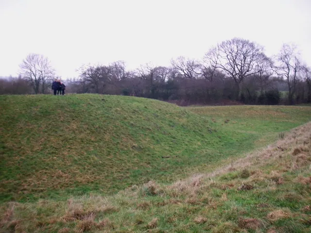 Shotwick Castle Historic site, Shotwick Park7.6 km SW
-
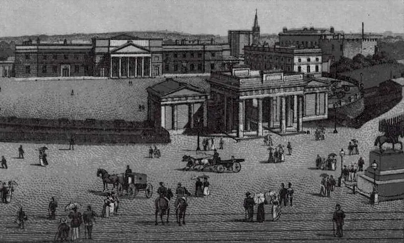 Chester Castle Historic site, Chester Castle10 km S
-
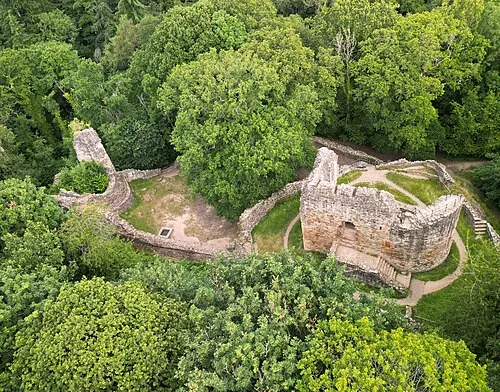 Ewloe Castle Historic site, Hawarden14 km SW
-
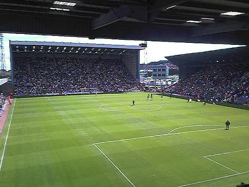 Prenton Park Landmark, Wirral14 km NW
-
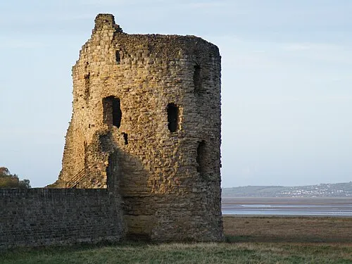 Flint Castle Historic site, Flint16 km W
Sources & licences
Data last updated: · 2 independent sources