- Elevation
- 342 m
- above sea level
- Local time
- UTC+00:00
- Europe/London · UTC+00:00
- Airports
- IOM Isle of Man Airport99 km
- MME Teesside International Airport116 km
About Brock Crag
Brock Crag is a mountain. Location: Eskdale, Cumberland. Elevation: 342 m. The best months to visit are July. The nearest airport is Isle of Man Airport (99 km). Nearby sights include Heron Crag and Cat Crag.
Photos of Brock Crag
-
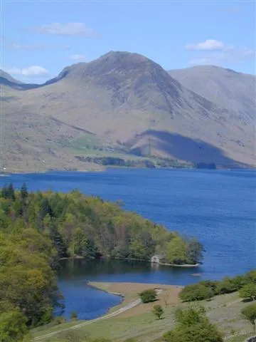
Yewbarrow Ben Gamble · CC BY-SA 2.0 -
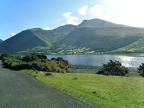
Scafell Pike Thorneh at English Wikipedia · Public domain -
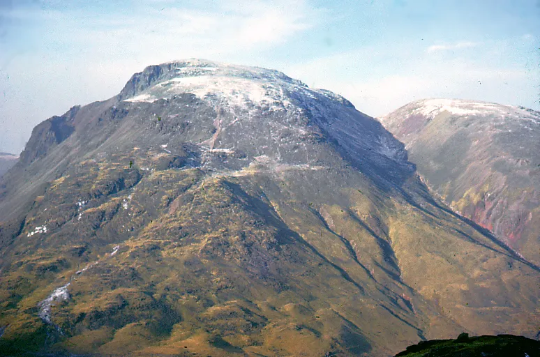
Great Gable Phillip Capper from Wellington, New Zealand · CC BY 2.0 -
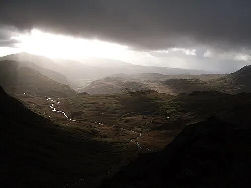
Bowfell Brooksaf at English Wikipedia · CC BY 2.5 -
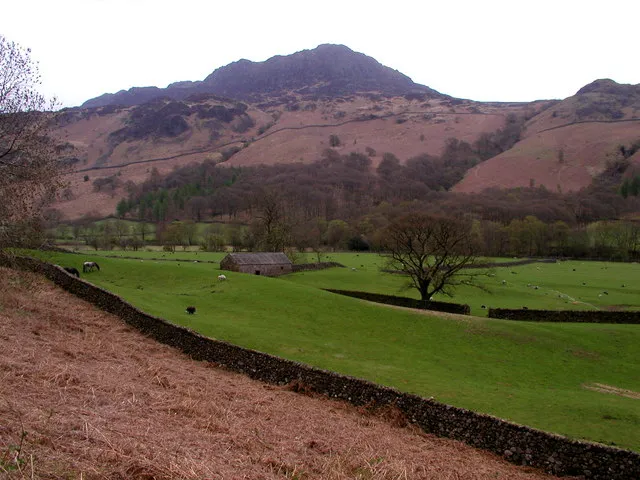
Harter Fell (Eskdale) Andy Beecroft · CC BY-SA 2.0


Climate of Brock Crag
Best months for sightseeingBest months for sightseeing: July.
This month · November
A wet month
Day 7° · Night 2° · Rain 185 mm
- Hottest month
- July (day 17°)
- Coldest month
- January (night -1°)
- Wettest month
- December (192 mm)
- Driest month
- June (96 mm)
Bars: average monthly low and high temperature. Below: precipitation. Monthly averages for 1970–2000 at about 18 km resolution, adjusted for elevation. Highlighted months are mild and relatively dry. Source: WorldClim 2.1 (CC BY 4.0).
Show values as a table
| Month | Jan | Feb | Mar | Apr | May | Jun | Jul | Aug | Sep | Oct | Nov | Dec |
|---|---|---|---|---|---|---|---|---|---|---|---|---|
| Average high (°C) | 4° | 5° | 7° | 10° | 13° | 16° | 17° | 17° | 14° | 11° | 7° | 5° |
| Average low (°C) | -1° | 0° | 1° | 2° | 5° | 8° | 10° | 9° | 7° | 5° | 2° | 0° |
| Precipitation (mm) | 189 | 136 | 149 | 104 | 98 | 96 | 104 | 127 | 145 | 189 | 185 | 192 |
Other places to visit in this season: July
How to get to Brock Crag
The nearest airport is Isle of Man Airport (IOM), 99 km to the west as the crow flies. The nearest large city is Blackpool, 67 km to the south.
Airports
- Isle of Man Airport (IOM) Castletown, Rushen 99 kmwest
- Teesside International Airport (MME) Darlington, Durham 116 kmeast
- Leeds Bradford Airport (LBA) Leeds, West Yorkshire 118 kmsoutheast
Nearby large cities
- Blackpool Population: 145K 67 kmsouth
- Preston Population: 313.3K 80 kmsoutheast
- Blackburn Population: 146.5K 88 kmsoutheast
- Burnley Population: 149.4K 94 kmsoutheast
- Wigan Population: 175.4K 104 kmsouth
Straight-line distances; road distances are longer. Airport data: OurAirports.
Day trips from Brock Crag
Within 100 km: 589 historic and cultural sites, 1,995 natural sites, 412 lakes, rivers and coasts.
0–25 km765 places
- High Moor Mountain 23 kmS
- Tuft Rock Island 19 kmE
- Peel Island Island 14 kmSE
- Seamew Crag Island 15 kmE
25–60 km819 places
- Roanhead Beach Beach 28 kmS
- St. Bees Beach Seafront Beach 27 kmW
- Powillimount Beach Beach 58 kmNW
- Walney Island Island 34 kmS
60–100 km1,412 places
- British Isles Island 69 kmSW
- Great Britain Island 92 kmSE
- Formby Beach Beach 95 kmS
- Ainsdale Beach Beach 90 kmS
Straight-line distances.
Nearest towns and villages
-
Boot Village, Eskdale4 km SW
-
Cockley Beck Village, Dunnerdale-with-Seathwaite3.4 km E
-
Beckfoot Village, Eskdale5.9 km SW
-
Ulpha Village, Cumberland5.7 km S
-
Wasdale Village, Cumberland6.5 km NW
-
Wasdale Head Village, Wasdale6.7 km NW
Nearby attractions & nature
Everything nearby-
Heron Crag Mountain, Eskdale0.6 km NE
-
Cat Crag Mountain, Eskdale0.7 km W
-
Dawsonground Crags Mountain, Eskdale1.2 km W
-
Silverybield Crag Mountain, Eskdale1.2 km NE
-
Bull How Mountain, Eskdale1.3 km SW
-
High Scarth Mountain, Eskdale1.5 km N
-
Whin Crag (Eskdale) Mountain, Eskdale1.6 km W
-
Goat Crag Mountain, Eskdale1.6 km SW
More nature in United Kingdom
-
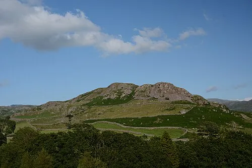 Great Barrow Mountain, Eskdale3.3 km SW
-
Border End Mountain, Eskdale1.7 km SE
-
Yew Bank Mountain, Eskdale1.7 km E
-
Hard Knott Mountain, Eskdale1.8 km E
-
Eskdale Fell - Whinscales Mountain, Eskdale1.8 km W
-
Throstlehow Crag Mountain, Eskdale1.9 km NE
Sources & licences
Data last updated: