Bigert
Located in Ulpha, Cumberland Coordinates: 54°19′40″ N 3°16′03″ W
- Elevation
- 331 m
- above sea level
- Local time
- UTC+00:00
- Europe/London · UTC+00:00
About Bigert
Bigert is a mountain. Location: Ulpha, Cumberland. Elevation: 331 m.
In comparison
- No. 8957 of 18223 mountains in United Kingdom by elevation
- 115 sights and natural places within 10 km The Pike, Hesk Fell
Airports nearest to Bigert
- Isle of Man Airport (IOM) Castletown, Rushen 93 km
- Liverpool John Lennon Airport (LPL) Liverpool 114 km
- Leeds Bradford Airport (LBA) Leeds, West Yorkshire 117 km
Straight-line distance; airports with scheduled flights only. Source: OurAirports (public domain).
Nearest towns and villages
-
Ulpha Village, Ulpha2.1 km E
-
Beckfoot Village, Ulpha3.7 km SE
-
Waberthwaite Village, Cumberland5.5 km W
-
Broughton West Village, Westmorland and Furness6.3 km SE
-
Broughton in Furness Village, Broughton West6.7 km SE
-
Dunnerdale-with-Seathwaite Village, Westmorland and Furness6.4 km NE
Nearby attractions & nature
Everything nearby-
Hesk Fell Mountain, Ulpha1.5 km N
-
The Pike Mountain, Ulpha1 km E
-
Whitfell Mountain, Ulpha1.8 km W
-
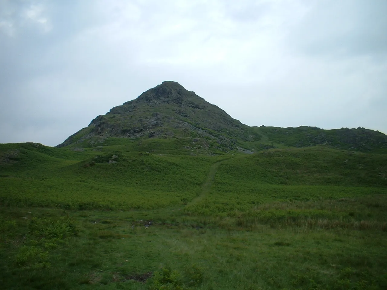 Stickle Pike Mountain, Dunnerdale-with-Seathwaite3.6 km E
-
Plough Fell Mountain, Ulpha2.5 km SW
-
Burn Moor Mountain, Ulpha2.6 km W
-
Stainton Pike Mountain, Muncaster2.6 km NW
-
Buck Barrow Mountain, Waberthwaite3.3 km SW
More nature in United Kingdom
-
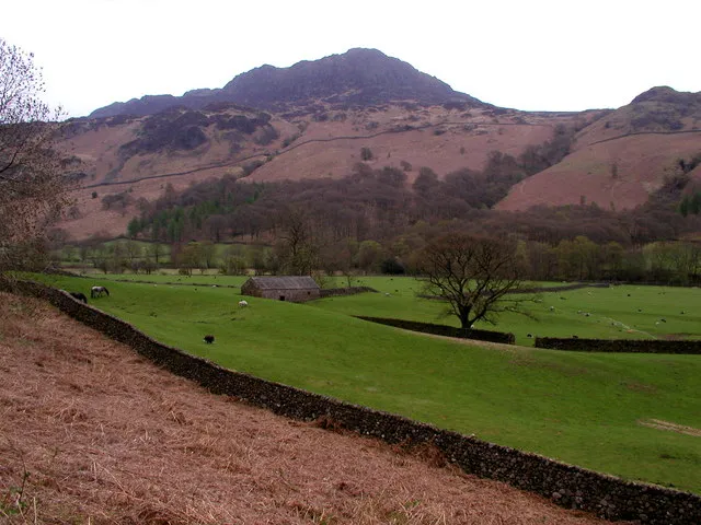 Harter Fell (Eskdale) Mountain, Ulpha7.8 km NE
-
Penn Mountain, Ulpha3 km SE
-
Woodend Height Mountain, Ulpha3 km NW
-
Rowantree How Mountain, Ulpha3.3 km NW
-
Great Worm Crag Mountain, Ulpha4.1 km NE
-
Birker Fell - White How Mountain, Ulpha5.1 km NE
Sources & licences
Data last updated: