Buxton
Located in High Peak District, Derbyshire Coordinates: 53°15′27″ N 1°54′35″ W
- Population
- 20,048
- 20K
- Elevation
- 316 m
- above sea level
- Local time
- UTC+00:00
- Europe/London · UTC+00:00
About Buxton
Buxton is a town. Location: High Peak District, Derbyshire. Population: 20,048. Elevation: 316 m.
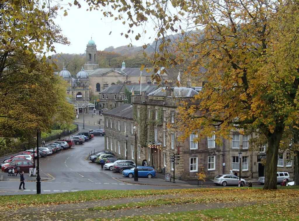
Buxton is a spa town in the borough of High Peak, Derbyshire, in the East Midlands region of England. It is England's highest market town, sited at some 1,000 feet (300 m) above sea level. It lies close to Cheshire to the west and Staffordshire to the south, on the edge of the Peak District National Park. In 1974, the municipal borough merged with other nearby boroughs, including Glossop, to form the local government district and borough of High Peak.
Read more on Wikipedia Text: Wikipedia contributors · CC BY-SA 4.0 · shortened
At a glance
- Area
- 5.3 km²
Source: Wikidata
In comparison
- Most populous of 3 places in High Peak District
- Nearest larger town: High Peak District, 13 km N
- 43 sights and natural places within 10 km Grin Low, Fox Low
Airports nearest to Buxton
- Manchester Airport (MAN) Manchester, Greater Manchester 27 km
- East Midlands Airport (EMA) Nottingham, Leicestershire 61 km
- Liverpool John Lennon Airport (LPL) Liverpool 63 km
Straight-line distance; airports with scheduled flights only. Source: OurAirports (public domain).
Nearby attractions & nature
Everything nearby-
Grin Low Mountain, High Peak District1.8 km SW
-
Fox Low Mountain, High Peak District2.2 km S
-
Burbage Edge Mountain, High Peak District3.2 km W
-
Combs Head Mountain, Hartington Upper Quarter3.1 km NW
-
Waterswallows Hill Mountain, Green Fairfield3.2 km NE
-
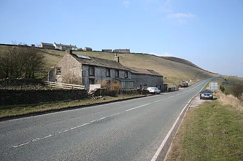 Axe Edge Mountain, Hartington Upper Quarter5 km SW
-
Black Edge Mountain, Chapel-en-le-Frith3.8 km N
-
Axe Edge Moor Mountain, Hartington Upper Quarter3.8 km SW
Other cities and towns in High Peak District
-
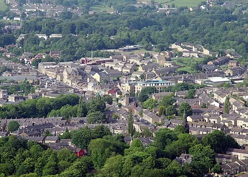 Glossop Town, High Peak District21 km N
-
Chapel en le Frith Town, Chapel-en-le-Frith7.4 km N
-
Whaley Bridge Town, Whaley Bridge9.5 km NW
-
High Peak Town, Edale13 km N
-
New Mills Town, New Mills13 km NW
Sources & licences
Data last updated: · 2 independent sources