- Population
- 17,825
- 17.8K
- Elevation
- 156 m
- above sea level
- Local time
- UTC+00:00
- Europe/London · UTC+00:00
- Airports
- MAN Manchester Airport24 km
- LBA Leeds Bradford Airport51 km
About Glossop
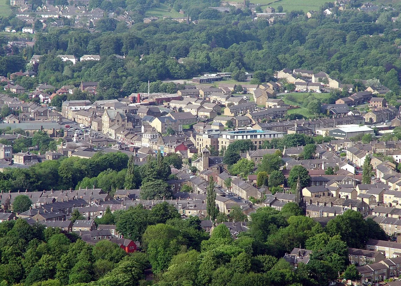
Glossop is a town. Location: High Peak District, Derbyshire. Population: 17,825. Elevation: 156 m.
Glossop is a market town in the borough of High Peak, Derbyshire, England, 13 miles (21 km) east of Manchester, 24 miles (39 km) west-northwest of Sheffield and 32 miles (51 km) north-west of Matlock. Near Derbyshire's borders with Cheshire, Greater Manchester, South Yorkshire and West Yorkshire, between 150 and 300 metres (492 and 984 ft) above sea level, it is bounded by the Peak District National Park to the south, east and north. In 2021, it had a population of 17,825.
Read more on Wikipedia Text: Wikipedia contributors · CC BY-SA 4.0 · shortened
At a glance
- Area
- 4.6 km²
Source: Wikidata
In comparison
- No. 2 of 3 places in High Peak District by population
- Nearest larger town: Stalybridge, 9 km NW
- 37 sights and natural places within 10 km Brownhill, Mouselow Castle
Climate of Glossop
Best months for sightseeingBest months for sightseeing: June–August.
Bars: average monthly low and high temperature. Below: precipitation. Monthly averages for 1970–2000 at about 18 km resolution, adjusted for elevation. Highlighted months are mild and relatively dry. Source: WorldClim 2.1 (CC BY 4.0).
Show values as a table
| Month | Jan | Feb | Mar | Apr | May | Jun | Jul | Aug | Sep | Oct | Nov | Dec |
|---|---|---|---|---|---|---|---|---|---|---|---|---|
| Average high (°C) | 6° | 6° | 8° | 11° | 15° | 18° | 20° | 19° | 16° | 13° | 9° | 7° |
| Average low (°C) | 1° | 1° | 3° | 4° | 7° | 10° | 12° | 12° | 10° | 7° | 4° | 2° |
| Precipitation (mm) | 127 | 94 | 104 | 82 | 78 | 86 | 80 | 97 | 100 | 123 | 130 | 132 |
Airports nearest to Glossop
- Manchester Airport (MAN) Manchester, Greater Manchester 24 km
- Leeds Bradford Airport (LBA) Leeds, West Yorkshire 51 km
- Liverpool John Lennon Airport (LPL) Liverpool 61 km
Straight-line distance; airports with scheduled flights only. Source: OurAirports (public domain).
Nearby attractions & nature
Everything nearby-
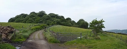 Mouselow Castle Historic site, High Peak District1.6 km NW
-
Brownhill Mountain, High Peak District1.5 km SE
-
Mouselow Castle Mountain, High Peak District1.6 km NW
-
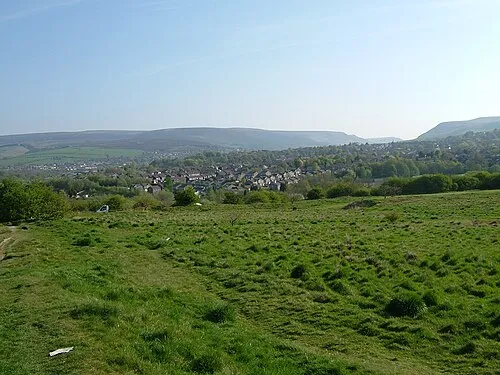 Ardotalia Historic site, High Peak District2.8 km W
-
Shire Hill Mountain, Charlesworth1.9 km E
-
Cown Edge Mountain, Charlesworth2.4 km SW
-
Longdendale Natural site, England2.8 km N
-
Bottoms Reservoir Lake, England2.9 km N
Other cities and towns in High Peak District
-
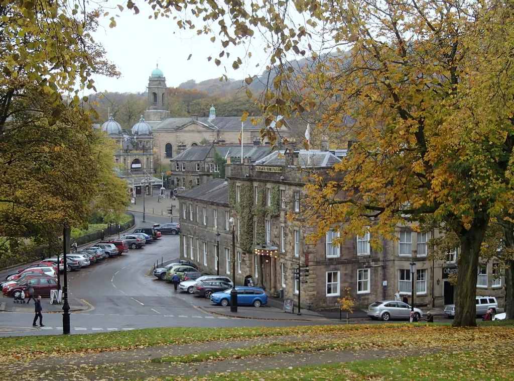 Buxton Town, High Peak District21 km S
-
New Mills Town, New Mills9.2 km S
-
High Peak Town, Edale11 km SE
-
Whaley Bridge Town, Whaley Bridge13 km S
-
Chapel en le Frith Town, Chapel-en-le-Frith13 km S
Sources & licences
Data last updated: · 2 independent sources