High Peak District
Located in Derbyshire, England Coordinates: 53°22′02″ N 1°50′33″ W
- Population
- 91,662
- 91.7K
- Elevation
- 326 m
- above sea level
- Local time
- UTC+00:00
- Europe/London · UTC+00:00
- Places inside
- 53
- listed under High Peak District
About High Peak District
High Peak District is a municipality. Location: Derbyshire, England. Population: 91,662. Elevation: 326 m.
In comparison
- No. 6 of 8 places in Derbyshire by population
- Nearest larger town: High Peak, 0 km W
- 43 sights and natural places within 10 km Peak District National Park, Lord's Seat
- Listed here: Village: 34, Neighbourhood: 10, Mountain: 5, Historic site: 2
Places in High Peak District
53 places-
Buxton Town20K
-
Glossop Town17.8K
-
Hadfield Village6.8K
-
Ardotalia Historic site
-
Aston Village
-
Bamford Village
-
Brookfield Neighbourhood
-
Brough and Shatton Village
-
Brownhill Mountain
-
Burbage Edge Mountain
-
Castleton Village
-
Chapel-en-le-Frith Village
-
Charlestown Neighbourhood
-
Charlesworth Village
-
Chinley, Buxworth and Brownside Village
-
Chisworth Village
-
Derwent Village
-
Dinting Vale Village
-
Edale Village
-
Fairfield Village
-
Fox Low Mountain
-
Gamesley Village
-
Green Fairfield Village
-
Grin Low Mountain
-
Harpur Hill Village
-
Hartington Upper Quarter Village
-
Hayfield Village
-
Higher Buxton Neighbourhood
-
Higher Dinting Village
-
Hope Village
-
Hope Woodlands Village
-
King Sterndale Village
-
Ladmanlow Village
-
Lower Dinting Village
-
Mouselow Castle Mountain
-
Mouselow Castle Historic site
-
New Mills Village
-
Nithen End Neighbourhood
-
Old Glossop Neighbourhood
-
Padfield Village
-
Peak Forest Village
-
River's Vale Neighbourhood
-
Shaw Neighbourhood
-
Shepley Street Village
-
Simmondley Neighbourhood
-
Staden Village
-
The Park Neighbourhood
-
Thornhill Village
-
Tintwistle Village
-
Whaley Bridge Village
-
Whitfield Park Neighbourhood
-
Woolley Bridge Village
-
Wormhill Village
Nearby attractions & nature
Everything nearby-
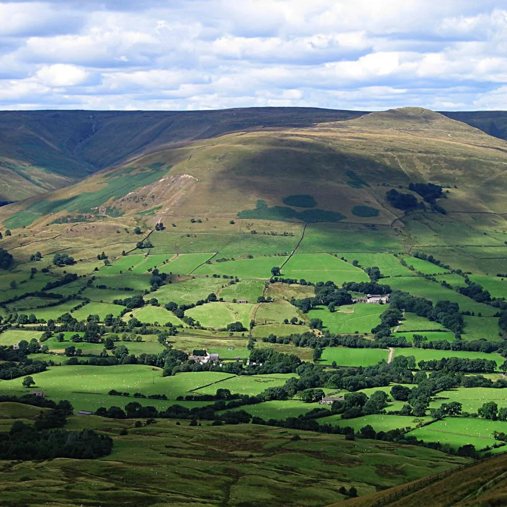 Vale of Edale Natural site, England2.5 km NE
-
Hope Valley Natural site, England6.5 km E
-
River Alport River, England5.4 km NE
-
Tideswell Dale Natural site, Derbyshire14 km S
-
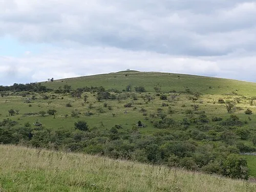 Wardlow Hay Cop Mountain, Wardlow14 km SE
-
High Neb Mountain, Sheffield12 km E
-
Derwent Reservoir Lake, England8.3 km NE
-
River Ashop River, England8.4 km E
Sources & licences
Data last updated: