Hope Valley
Located in England, United Kingdom Coordinates: 53°21′00″ N 1°45′00″ W
- Elevation
- 173 m
- above sea level
- Local time
- UTC+00:00
- Europe/London · UTC+00:00
About Hope Valley
Hope Valley is a natural site. Location: England, United Kingdom.
The Hope Valley is a rural area centred on the village of Hope, Derbyshire, in the Peak District in the northern Midlands of England. The name also applies to the post town that includes the surrounding villages.
Read more on Wikipedia Text: Wikipedia contributors · CC BY-SA 4.0 · shortened
In comparison
- 44 sights and natural places within 10 km Hope Motte, The Folly
Nearest towns and villages
-
Hope Village, Hope<0.1 km N
-
Hope Valley Village, Hope0.4 km SE
-
High Peak District Municipality, Derbyshire6.5 km W
-
Bamford Village, Bamford4.1 km E
-
Hope Village, High Peak District1.9 km NW
-
Aston Village, High Peak District1.8 km E
Nearby attractions & nature
Everything nearby-
The Folly Mountain, Hope0.8 km S
-
Lose Hill Mountain, Hope2.2 km NW
-
Win Hill Mountain, Aston2.4 km NE
-
Hope Motte Historic site, Hope0.5 km SE
-
Barker Bank Mountain, Edale3 km W
-
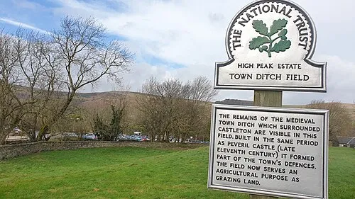 Castleton Town Defences Historic site, Castleton1.8 km SW
-
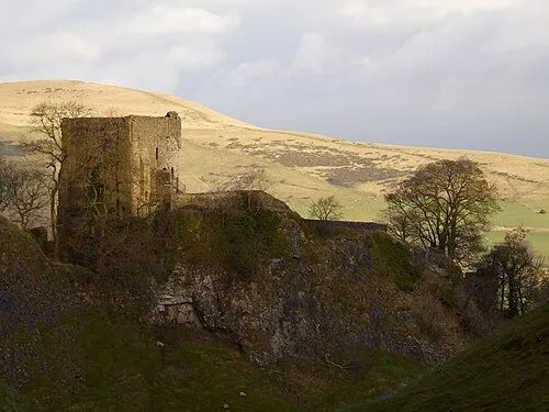 Peveril Castle Historic site, Castleton2.1 km SW
-
Crook Hill Mountain, Hope Woodlands3.7 km NE
More nature in United Kingdom
-
High Neb Mountain, Sheffield6.3 km E
-
Burton Bole Mountain, Abney and Abney Grange4 km SE
-
Mam Tor Mountain, Castleton4 km W
-
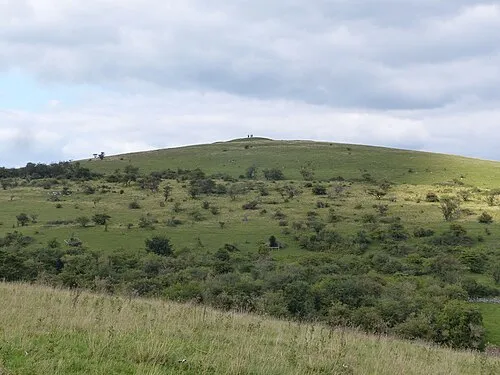 Wardlow Hay Cop Mountain, Wardlow9.8 km S
-
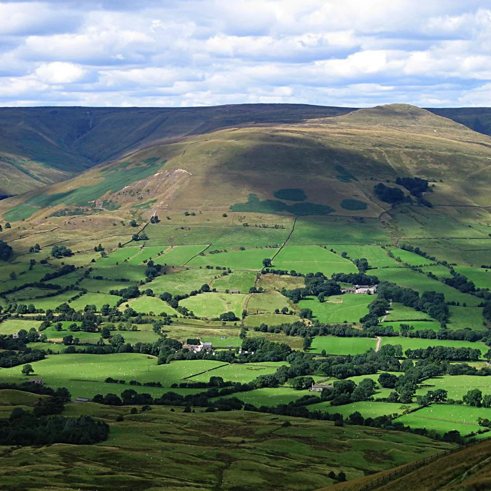 Vale of Edale Natural site, England5.8 km NW
-
Bridge-end Pasture Mountain, Hope Woodlands4.3 km N
Sources & licences
Data last updated: · 2 independent sources