Castleton Town Defences
Located in Castleton, High Peak District Coordinates: 53°20′31″ N 1°46′23″ W
- Local time
- UTC+00:00
- Europe/London · UTC+00:00
- Elevation
- 205 m
- above sea level
- Airports
- MAN Manchester Airport34 km
- LBA Leeds Bradford Airport59 km
About Castleton Town Defences
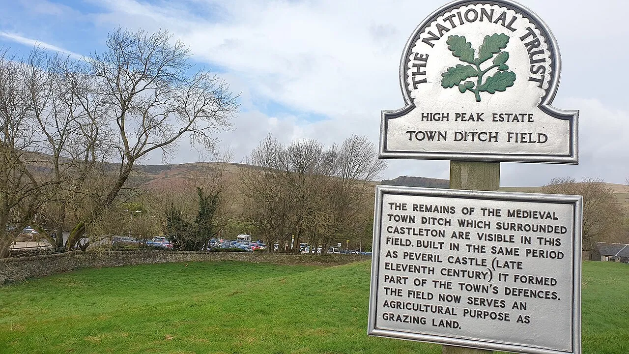
Castleton Town Defences is a historic site. Location: Castleton, High Peak District.
The Castleton town defences in Castleton, Derbyshire, consist of a ditch and bank constructed during the 1190s. The ditch was part of Peveril Castle's medieval defence system. The town defences were classified as a scheduled monument on 15 February 1999.
Source: Wikipedia · CC BY-SA 4.0
At a glance
- Heritage designation
- scheduled monument
Source: Wikidata
Climate of Castleton Town Defences
Best months for sightseeingBest months for sightseeing: June–August.
This month · November
A wet month
Day 9° · Night 4° · Rain 129 mm
- Hottest month
- July (day 19°)
- Coldest month
- February (night 1°)
- Wettest month
- December (135 mm)
- Driest month
- May (78 mm)
Bars: average monthly low and high temperature. Below: precipitation. Monthly averages for 1970–2000 at about 18 km resolution, adjusted for elevation. Highlighted months are mild and relatively dry. Source: WorldClim 2.1 (CC BY 4.0).
Show values as a table
| Month | Jan | Feb | Mar | Apr | May | Jun | Jul | Aug | Sep | Oct | Nov | Dec |
|---|---|---|---|---|---|---|---|---|---|---|---|---|
| Average high (°C) | 6° | 6° | 8° | 11° | 15° | 18° | 19° | 19° | 16° | 12° | 9° | 7° |
| Average low (°C) | 1° | 1° | 2° | 4° | 6° | 9° | 12° | 11° | 9° | 7° | 4° | 2° |
| Precipitation (mm) | 131 | 97 | 103 | 84 | 78 | 87 | 78 | 95 | 98 | 122 | 129 | 135 |
How to get to Castleton Town Defences
The nearest airport is Manchester Airport (MAN), 34 km to the west as the crow flies. The nearest large city is Sheffield, 21 km to the east.
Airports
- Manchester Airport (MAN) Manchester, Greater Manchester 34 kmwest
- Leeds Bradford Airport (LBA) Leeds, West Yorkshire 59 kmnorth
- East Midlands Airport (EMA) Nottingham, Leicestershire 64 kmsoutheast
Nearby large cities
- Sheffield Population: 556.5K 21 kmeast
- Chesterfield Population: 113.1K 26 kmsoutheast
- Stockport Population: 139.1K 27 kmwest
- Rotherham Population: 117.6K 29 kmeast
- Oldham Population: 237.1K 32 kmnorthwest
Straight-line distances; road distances are longer. Airport data: OurAirports.
Nearby attractions & nature
Everything nearby-
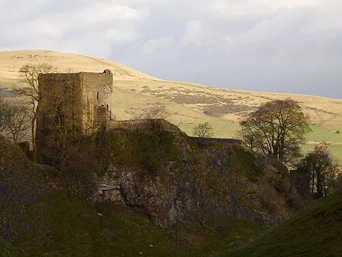 Peveril Castle Historic site, Castleton0.3 km SW
-
Hope Motte Historic site, Hope2 km E
-
The Folly Mountain, Hope1.6 km E
-
Hope Valley Natural site, England1.8 km NE
-
Mam Tor Mountain, Castleton2.6 km W
-
Barker Bank Mountain, Edale2.2 km NW
-
Lose Hill Mountain, Hope2.5 km N
-
Bradwell Moor Mountain, Castleton3.4 km SW
Nearest towns and villages
-
Castleton Village, Castleton0.2 km NW
-
Hope Village, Hope1.8 km NE
-
Hope Valley Village, Hope2 km E
-
High Peak Town, Edale5.6 km NW
Sources & licences
Data last updated: · 2 independent sources