Totnes Castle
Located in Totnes, South Hams District Coordinates: 50°25′55″ N 3°41′27″ W
- Local time
- UTC+00:00
- Europe/London · UTC+00:00
- Elevation
- 35 m
- above sea level
- Airports
- EXT Exeter International Airport39 km
- NQY Cornwall Airport Newquay93 km
About Totnes Castle
Totnes Castle is a historic site. Location: Totnes, South Hams District.
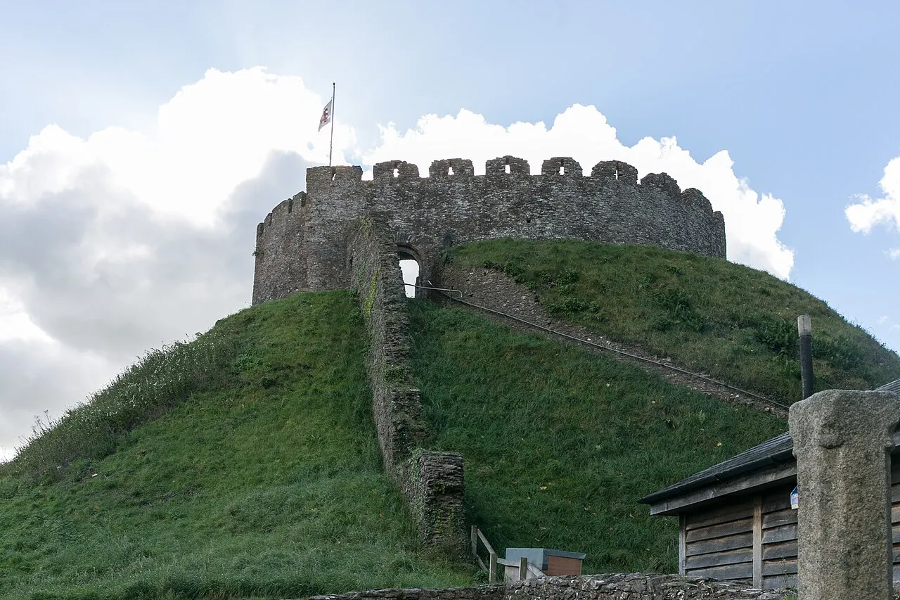
Totnes Castle is one of the best preserved examples of a Norman motte and bailey castle in England. It is situated in the town of Totnes on the River Dart in Devon. The surviving stone keep and curtain wall date from around the 14th century. From after the Norman Conquest of 1066 it was the caput of the Feudal barony of Totnes.
Source: Wikipedia · CC BY-SA 4.0
At a glance
- Heritage designation
- Grade I listed building, scheduled monument
- Official website
- english-heritage.org.uk
Source: Wikidata
Photos of Totnes Castle
-

Phil Gayton from Totnes, UK · CC BY 2.0 -

Phil Gayton from Totnes, UK · CC BY 2.0 -

Colin Smith · CC BY-SA 2.0 -

Michael Dibb · CC BY-SA 2.0 -

Michael Dibb · CC BY-SA 2.0


Climate of Totnes Castle
Best months for sightseeingBest months for sightseeing: June–August.
This month · November
A wet month
Day 12° · Night 6° · Rain 107 mm
- Hottest month
- July (day 20°)
- Coldest month
- February (night 3°)
- Wettest month
- December (124 mm)
- Driest month
- July (50 mm)
Bars: average monthly low and high temperature. Below: precipitation. Monthly averages for 1970–2000 at about 18 km resolution, adjusted for elevation. Highlighted months are mild and relatively dry. Source: WorldClim 2.1 (CC BY 4.0).
Show values as a table
| Month | Jan | Feb | Mar | Apr | May | Jun | Jul | Aug | Sep | Oct | Nov | Dec |
|---|---|---|---|---|---|---|---|---|---|---|---|---|
| Average high (°C) | 9° | 9° | 11° | 12° | 16° | 18° | 20° | 20° | 18° | 15° | 12° | 9° |
| Average low (°C) | 4° | 3° | 4° | 5° | 8° | 11° | 13° | 13° | 11° | 9° | 6° | 5° |
| Precipitation (mm) | 119 | 96 | 84 | 63 | 63 | 59 | 50 | 69 | 81 | 102 | 107 | 124 |
How to get to Totnes Castle
The nearest airport is Exeter International Airport (EXT), 39 km to the northeast as the crow flies. For international flights: Cardiff International Airport (CWL) (110 km). The nearest large city is Plymouth, 33 km to the west.
Airports
- Exeter International Airport (EXT) Exeter, Devon 39 kmnortheast
- Cornwall Airport Newquay (NQY) Newquay 93 kmwest
- Cardiff International Airport (CWL) Cardiff 110 kmnorth
Nearby large cities
- Plymouth Population: 260.2K 33 kmwest
- Exeter Population: 130.7K 34 kmnorth
- Cardiff Population: 372.1K 122 kmnorth
- Poole Population: 151.5K 125 kmeast
- Bournemouth Population: 163.6K 132 kmeast
Straight-line distances; road distances are longer. Airport data: OurAirports.
Day trips from Totnes Castle
Within 100 km: 197 historic and cultural sites, 927 natural sites, 114 lakes, rivers and coasts.
0–25 km222 places
- Burgh Island Island 23 kmSW
- Goodrington Sands Beach 9 kmE
- Oddicombe Beach Beach 14 kmNE
- Babbacombe Beach Beach 14 kmE
25–60 km358 places
- Wadham Rocks Beach Beach 26 kmSW
- Tregantle Beach Beach 42 kmW
- Looe Island Island 55 kmW
- Mewstone Island 33 kmSW
60–100 km658 places
- Chesil Beach Beach 83 kmE
- Saunton Sands Beach 83 kmNW
- Charmouth Beach Beach 65 kmNE
- Lansallos Beach Beach 64 kmW
Straight-line distances.
Nearby attractions & nature
Everything nearby-
Vire Island Island, Totnes0.7 km SE
-
Snipe Island Island, Littlehempston0.8 km NE
-
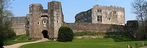 Berry Pomeroy Castle Historic site, Berry Pomeroy4.3 km NE
-
Dartington Hill Mountain, Dartington2.5 km N
-
Fleet Hill Mountain, Berry Pomeroy2.6 km SE
-
Yarner Beacon Mountain, Dartington2.7 km NW
-
Copperthorn Cross Mountain, Harberton2.7 km SW
-
Winton House Hill Mountain, Staverton3.2 km N
Nearest towns and villages
-
Totnes Town, Totnes0.5 km E
-
Bridgetown Neighbourhood, Totnes1 km E
-
Dartington Village, Dartington1.9 km NW
-
Cott Neighbourhood, Dartington1.8 km NW
Sources & licences
Data last updated: · 2 independent sources