Lands common to the Parishes of Bridestowe and Sourton
Located in West Devon District, Devon Coordinates: 50°40′34″ N 4°03′01″ W
- Elevation
- 504 m
- above sea level
- Local time
- UTC+00:00
- Europe/London · UTC+00:00
- Airports
- EXT Exeter International Airport45 km
- NQY Cornwall Airport Newquay72 km
About Lands common to the Parishes of Bridestowe and Sourton
Lands common to the Parishes of Bridestowe and Sourton is a village. Location: West Devon District, Devon. Elevation: 504 m. The best months to visit are June–August. The nearest airport is Exeter International Airport (45 km). Nearby sights include Amicombe Hill and Great Links Tor.
Photos of Lands common to the Parishes of Bridestowe and Sourton
-
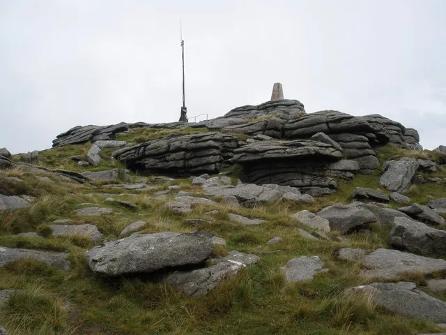
Yes Tor Roger Cornfoot · CC BY-SA 2.0 -
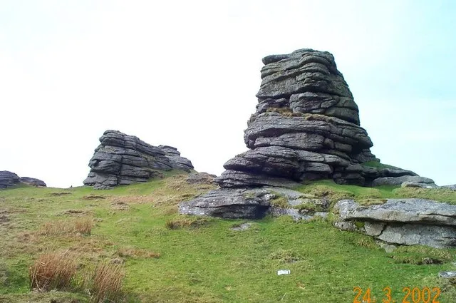
Great Links Tor Richard Knights · CC BY-SA 2.0 -
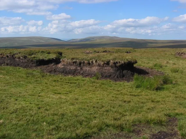
Cut Hill Chris Carlson · CC BY-SA 2.0 -
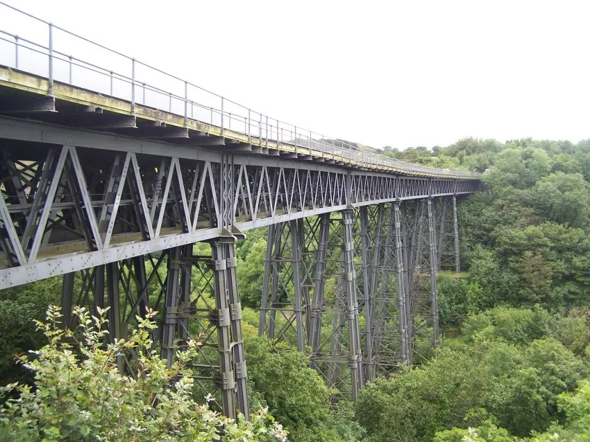
Meldon Viaduct Tina Cordon at English Wikipedia · CC BY 3.0


Climate of Lands common to the Parishes of Bridestowe and Sourton
Best months for sightseeingBest months for sightseeing: June–August.
This month · November
A wet month
Day 8° · Night 3° · Rain 132 mm
- Hottest month
- July (day 17°)
- Coldest month
- February (night 0°)
- Wettest month
- December (138 mm)
- Driest month
- July (69 mm)
Bars: average monthly low and high temperature. Below: precipitation. Monthly averages for 1970–2000 at about 18 km resolution, adjusted for elevation. Highlighted months are mild and relatively dry. Source: WorldClim 2.1 (CC BY 4.0).
Show values as a table
| Month | Jan | Feb | Mar | Apr | May | Jun | Jul | Aug | Sep | Oct | Nov | Dec |
|---|---|---|---|---|---|---|---|---|---|---|---|---|
| Average high (°C) | 5° | 5° | 7° | 9° | 13° | 15° | 17° | 17° | 15° | 12° | 8° | 6° |
| Average low (°C) | 0° | 0° | 1° | 2° | 5° | 8° | 10° | 10° | 8° | 6° | 3° | 1° |
| Precipitation (mm) | 134 | 98 | 93 | 74 | 70 | 72 | 69 | 83 | 95 | 119 | 132 | 138 |
How to get to Lands common to the Parishes of Bridestowe and Sourton
The nearest airport is Exeter International Airport (EXT), 45 km to the east as the crow flies. For international flights: Cardiff International Airport (CWL) (94 km). The nearest large city is Plymouth, 35 km to the south.
Airports
- Exeter International Airport (EXT) Exeter, Devon 45 kmeast
- Cornwall Airport Newquay (NQY) Newquay 72 kmwest
- Cardiff International Airport (CWL) Cardiff 94 kmnortheast
Nearby large cities
- Plymouth Population: 260.2K 35 kmsouth
- Exeter Population: 130.7K 37 kmeast
- Swansea Population: 300.4K 105 kmnorth
- Cardiff Population: 372.1K 108 kmnortheast
- Newport Population: 161.5K 125 kmnortheast
Straight-line distances; road distances are longer. Airport data: OurAirports.
Day trips from Lands common to the Parishes of Bridestowe and Sourton
Within 100 km: 241 historic and cultural sites, 948 natural sites, 133 lakes, rivers and coasts.
0–25 km154 places
- Wellsfoot Island Island 24 kmSE
- Bellpool Island Island 22 kmSE
- Combestone Island Island 20 kmSE
- Island of Rocks Island 2 kmN
25–60 km684 places
- Burgh Island Island 45 kmS
- Goodrington Sands Beach 45 kmSE
- Saunton Sands Beach 49 kmN
- Oddicombe Beach Beach 44 kmSE
60–100 km484 places
- Charmouth Beach Beach 82 kmE
- Vault Beach Beach 72 kmSW
- Gylly Beach Beach 93 kmSW
- Swanpool Beach Beach 94 kmSW
Straight-line distances.
Nearby attractions & nature
Everything nearby-
Amicombe Hill Mountain, Dartmoor Forest1.7 km SE
-
Great Links Tor Mountain, Lydford2.9 km S
-
Yes Tor Mountain, Okehampton Hamlets3.4 km NE
-
Island of Rocks Island, Okehampton Hamlets2.1 km N
-
Meldon Viaduct Landmark, Okehampton Hamlets4.3 km N
-
High Willhays Mountain, Okehampton Hamlets2.9 km E
Sources & licences
Data last updated: