- Elevation
- 227 m
- above sea level
- Local time
- UTC+00:00
- Europe/London · UTC+00:00
- Places inside
- 1
- listed under Langleydale and Shotton
- Airports
- MME Teesside International Airport32 km
- NCL Newcastle International Airport50 km
About Langleydale and Shotton
Langleydale and Shotton is a municipality. Location: Durham, England. Elevation: 227 m. The best months to visit are June–August. The nearest airport is Teesside International Airport (32 km). Nearby sights include Raby Old Lodge and Cotherstone Castle.
Photos of Langleydale and Shotton
-
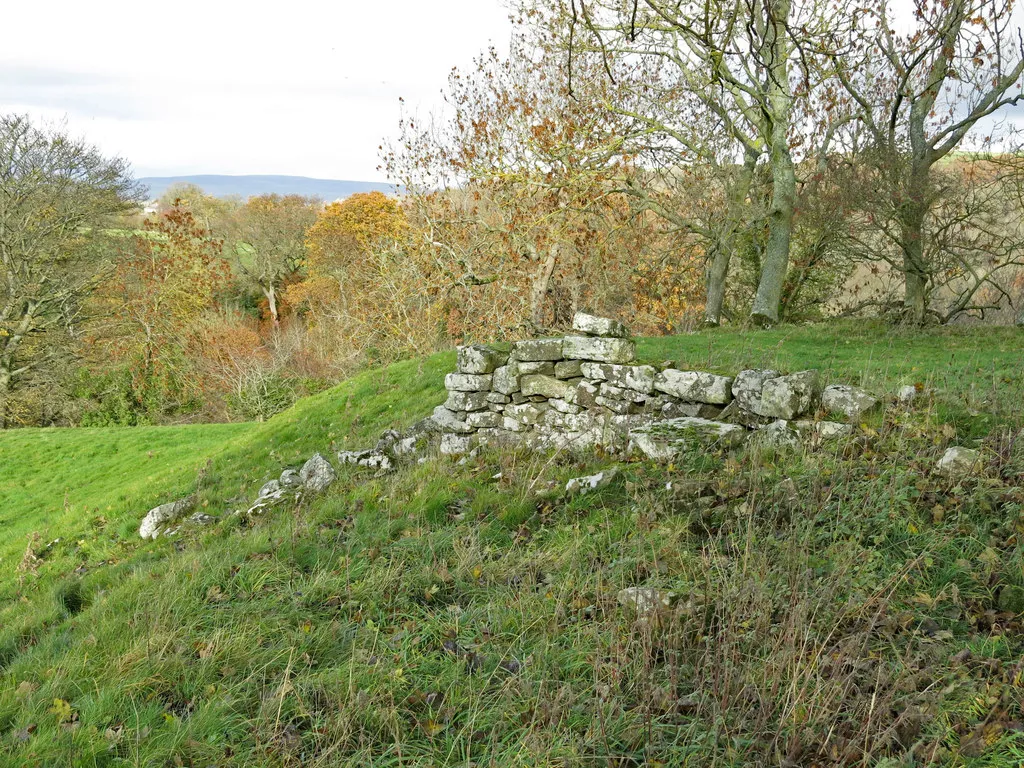
Cotherstone Castle Mike Quinn · CC BY-SA 2.0 -
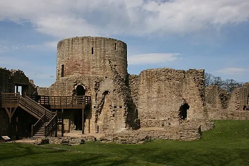
Barnard Castle Robert Scarth from London, England · CC BY-SA 2.0


Climate of Langleydale and Shotton
Best months for sightseeingBest months for sightseeing: June–August.
This month · November
A cold month
Day 8° · Night 3° · Rain 94 mm
- Hottest month
- July (day 19°)
- Coldest month
- January (night 0°)
- Wettest month
- January (98 mm)
- Driest month
- April (65 mm)
Bars: average monthly low and high temperature. Below: precipitation. Monthly averages for 1970–2000 at about 18 km resolution, adjusted for elevation. Highlighted months are mild and relatively dry. Source: WorldClim 2.1 (CC BY 4.0).
Show values as a table
| Month | Jan | Feb | Mar | Apr | May | Jun | Jul | Aug | Sep | Oct | Nov | Dec |
|---|---|---|---|---|---|---|---|---|---|---|---|---|
| Average high (°C) | 6° | 6° | 8° | 10° | 14° | 17° | 19° | 18° | 15° | 12° | 8° | 7° |
| Average low (°C) | 0° | 1° | 2° | 3° | 5° | 8° | 10° | 10° | 8° | 6° | 3° | 1° |
| Precipitation (mm) | 98 | 67 | 82 | 65 | 65 | 67 | 70 | 84 | 85 | 91 | 94 | 98 |
How to get to Langleydale and Shotton
The nearest airport is Teesside International Airport (MME), 32 km to the east as the crow flies. For international flights: Newcastle International Airport (NCL) (50 km). The nearest large city is Middlesbrough, 43 km to the east.
Airports
- Teesside International Airport (MME) Darlington, Durham 32 kmeast
- Newcastle International Airport (NCL) Newcastle upon Tyne, Tyne and Wear 50 kmnorth
- Leeds Bradford Airport (LBA) Leeds, West Yorkshire 84 kmsouth
Nearby large cities
- Middlesbrough Population: 142.7K 43 kmeast
- Newcastle upon Tyne Population: 300.1K 45 kmnortheast
- Sunderland Population: 170.1K 47 kmnortheast
- York Population: 156.1K 89 kmsoutheast
- Bradford Population: 366.2K 91 kmsouth
Straight-line distances; road distances are longer. Airport data: OurAirports.
Day trips from Langleydale and Shotton
Within 100 km: 835 historic and cultural sites, 1,900 natural sites, 317 lakes, rivers and coasts.
0–25 km100 places
- Michell's Island Island 13 kmSE
- Newsham Tarn Lake 13 kmS
- Grassholme Reservoir Lake 13 kmW
- Selset Reservoir Lake 16 kmW
25–60 km797 places
- Seaton Carew Beach Beach 46 kmE
- Redcar Beach Beach 52 kmE
- The Island Island 44 kmS
- Saint Mary’s Island Island 59 kmNE
60–100 km2,155 places
- Great Britain Island 68 kmS
- High Moor Mountain 91 kmSW
- Longhoughton Beach Beach 94 kmN
- Whitby Beach Beach 82 kmE
Straight-line distances.
Places in Langleydale and Shotton
1 placeMountains & nature1
- Cragg Top · Mountain
Nearby attractions & nature
Everything nearby-
Raby Old Lodge Landmark, Raby with Keverstone2.3 km SE
-
Cotherstone Castle Historic site, Cotherstone6.7 km SW
-
Barnard Castle Historic site, Barnard Castle7.3 km S
-
Grey Carrs Mountain, Eggleston6 km W
-
Raby Castle Historic site, Raby with Keverstone6 km E
-
Barnard Castle Hill Mountain, Marwood6.5 km S
-
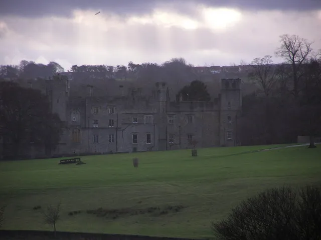 Witton Castle Historic site, Evenwood and Barony11 km NE
-
River Balder River, Durham8.4 km SW
Sources & licences
Data last updated: