- Population
- 50,548
- 50.5K
- Elevation
- 17 m
- above sea level
- Local time
- UTC+00:00
- Europe/London · UTC+00:00
- Airports
- SEN London Southend Airport40 km
- STN London Stansted Airport64 km
About Clacton-on-Sea
Clacton-on-Sea is a town. Location: Tendring District, Essex. Population: 50,548. Elevation: 17 m.
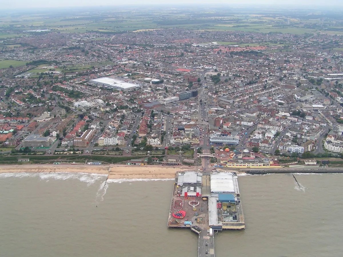
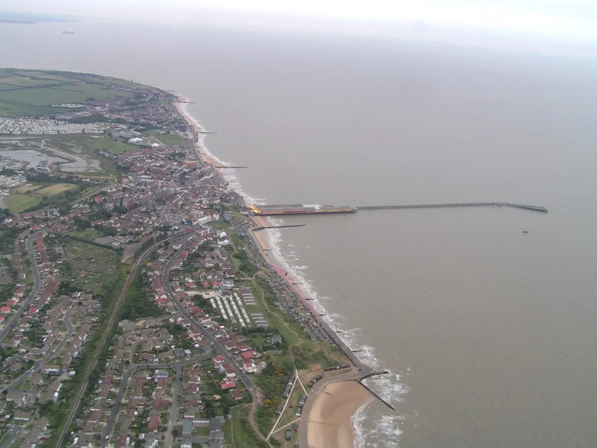
Clacton-on-Sea, often simply called Clacton, is a coastal town in Essex, England. It lies on the Tendring Peninsula and is the largest settlement in the Tendring District, with a population of 53,200 in 2021. The town is situated around 77 miles (124 km) north-east of London, 16 miles (26 km) south-east of Colchester and 16 miles (26 km) south of Harwich. The area was historically in the parish of Great Clacton.
Source: Wikipedia · CC BY-SA 4.0
At a glance
- Area
- 41.8 km²
Source: Wikidata
Photos of Clacton-on-Sea
-

Neil Theasby · CC BY-SA 2.0 -

Dmitrij M · CC BY 3.0 -

Dmitrij M · CC BY 3.0 -

Duncan Graham · CC BY-SA 2.0 -

Barry Ephgrave · CC BY-SA 2.0


Travel notes for Clacton-on-Sea
From Wikivoyage
Clacton in Essex, also known as Clacton-on-Sea, is the largest town in the Tendring Peninsula. It's between Jaywick and Holland-on-Sea.
Get in+
By car:
Exit the A12 at the Colchester North exit onto the A120, and then the A133 all the way into Clacton.
By train:
1 Railway Station, Skelmersdale Rd, Clacton-on-Sea, CO15 6PU. Trains run to Clacton every hour from London Liverpool St and take approximately 90 minutes. If travelling from the Ipswich direction, change trains at Colchester North. (updated May 2017)
By bus:
Buses serve Clacton from most parts of North-East Essex, including Colchester (every 30 minutes, approx. 1 hour journey time), Walton and Frinton (every 30 minutes, approx. 30 minutes journey time) and Harwich (every hour, approx. 45 minutes journey time). There are also 3 National Express coaches per day to London (#484, approx. 3 hours journey time) and 1 National Express coach per day to Liverpool, via Cambridge, Nottingham, Sheffield, Manchester etc. (#350, approx journey time 12 hours to Liverpool). As there is no distinct bus station, finding the correct stop within the town centre can be a problem, mainly because of a lack of any maps, and the digital displays at each stop only show departures for that street. If in doubt, walk out to the train station as most routes pass here.
By bicycle:
National Cycle Route 150 runs along the coast from Frinton-on-Sea & Walton to the NE to Jawick (just past the golf club) to SW.
Source: Wikivoyage · CC BY-SA 4.0 · abridged
Climate of Clacton-on-Sea
Best months for sightseeingBest months for sightseeing: June–August.
This month · November
A cold month
Day 10° · Night 4° · Rain 58 mm
- Hottest month
- August (day 22°)
- Coldest month
- February (night 1°)
- Wettest month
- October (58 mm)
- Driest month
- February (33 mm)
Bars: average monthly low and high temperature. Below: precipitation. Monthly averages for 1970–2000 at about 18 km resolution, adjusted for elevation. Highlighted months are mild and relatively dry. Source: WorldClim 2.1 (CC BY 4.0).
Show values as a table
| Month | Jan | Feb | Mar | Apr | May | Jun | Jul | Aug | Sep | Oct | Nov | Dec |
|---|---|---|---|---|---|---|---|---|---|---|---|---|
| Average high (°C) | 7° | 7° | 10° | 12° | 16° | 19° | 22° | 22° | 19° | 15° | 10° | 8° |
| Average low (°C) | 1° | 1° | 3° | 4° | 7° | 10° | 12° | 12° | 10° | 7° | 4° | 2° |
| Precipitation (mm) | 49 | 33 | 38 | 39 | 38 | 48 | 37 | 48 | 50 | 58 | 58 | 52 |
How to get to Clacton-on-Sea
The nearest airport is London Southend Airport (SEN), 40 km to the southwest as the crow flies. For international flights: London Stansted Airport (STN) (64 km). The nearest large city is Colchester, 21 km to the northwest.
Airports
- London Southend Airport (SEN) Southend-on-Sea, Essex 40 kmsouthwest
- London Stansted Airport (STN) London, Essex 64 kmwest
- London City Airport (LCY) London 82 kmwest
Nearby large cities
- Colchester Population: 130.2K 21 kmnorthwest
- Ipswich Population: 178.8K 30 kmnorth
- Southend-on-Sea Population: 295.3K 41 kmsouthwest
- Chelmsford Population: 111.5K 48 kmwest
- Saint Peters Population: 125.4K 50 kmsouth
Straight-line distances; road distances are longer. Airport data: OurAirports.
Day trips from Clacton-on-Sea
Within 100 km: 561 historic and cultural sites, 208 natural sites, 164 lakes, rivers and coasts.
0–25 km46 places
- West Mersea Beach Beach 16 kmW
- Mersea Island Island 14 kmW
- Ray Island Island 17 kmW
- Horsey Island Island 11 kmNE
25–60 km191 places
- Isle of Sheppey Island 49 kmSW
- Aldeburgh's Beach Beach 51 kmNE
- Yantlet beach Beach 49 kmSW
- Central Beach Beach 46 kmS
60–100 km696 places
- White Hart Lane Landmark 87 kmW
- Spotlites @ Kings Theatre Attraction 63 kmSW
- Camber Sands Beach 99 kmS
- Sunny Sands Beach 79 kmS
Straight-line distances.
Clacton-on-Sea and similar cities
Side by side with cities of similar size in the same country: population, elevation and climate.
| Measure | Clacton-on-Sea | Bridgend | Inverness | Durham |
|---|---|---|---|---|
| Population | 50.5K | 49.6K | 47.8K | 47.8K |
| Elevation | 17 m | 23 m | 15 m | 52 m |
| Summer day (hottest month) | 22° | 21° | 19° | 20° |
| Winter night (coldest month) | 1° | 3° | 1° | 1° |
| Annual rainfall | 548 mm | 1,290 mm | 1,172 mm | 650 mm |
| Best months | Jun–Aug | Jun–Aug | Jun–Aug | Jun–Sep |
| Distance | — | 329 km | 722 km | 379 km |
Climate values are 1970–2000 monthly averages; straight-line distance.
Nearby attractions & nature
Everything nearby-
Greensward Natural site, Frinton and Walton7.8 km NE
-
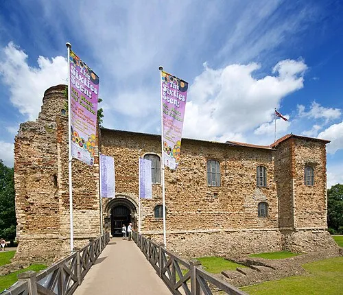 Colchester Castle Historic site, Colchester District21 km NW
-
Pincushion Island Island, St. Osyth7.9 km W
-
Frinton Park Natural site, Frinton and Walton8.8 km NE
-
Pedlars Wood Natural site, Frinton and Walton9 km NE
-
Colne Bar Island, St. Osyth8.3 km W
-
Cindery Island Island, Brightlingsea8.8 km W
-
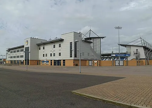 Colchester Community Stadium Landmark, Myland23 km NW
Other cities and towns in Tendring District
-
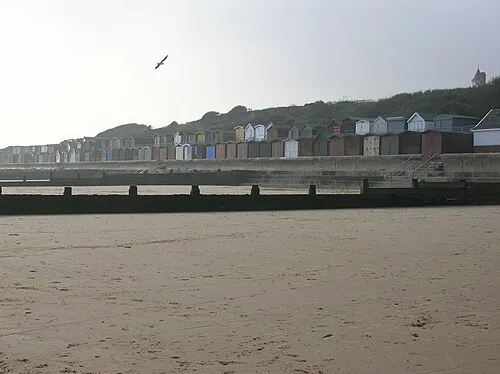 Frinton-on-Sea Town, Frinton and Walton7.6 km NE
-
 Walton-on-the-Naze Town, Frinton and Walton10 km NE
-
Brightlingsea Town, Brightlingsea9.5 km W
-
Harwich Town, Harwich19 km NE
-
Manningtree Town, Manningtree19 km N
Sources & licences
Data last updated: · 2 independent sources