Cotswold District
Located in Gloucestershire, England Coordinates: 51°50′41″ N 1°58′05″ W
- Population
- 85,756
- 85.8K
- Elevation
- 171 m
- above sea level
- Local time
- UTC+00:00
- Europe/London · UTC+00:00
- Places inside
- 115
- listed under Cotswold District
About Cotswold District
Cotswold District is a municipality. Location: Gloucestershire, England. Population: 85,756. Elevation: 171 m.
In comparison
- No. 5 of 6 places in Gloucestershire by population
- Nearest larger town: Cheltenham, 9 km NW
- 10 sights and natural places within 10 km Wistley Hill, Pen Hill
- Listed here: Village: 115
Places in Cotswold District
115 places-
Adlestrop Village
-
Aldsworth Village
-
Ampney Crucis Village
-
Ampney St. Mary Village
-
Ampney St. Peter Village
-
Andoversford Village
-
Ashley Village
-
Aston Subedge Village
-
Avening Village
-
Bagendon Village
-
Barnsley Village
-
Barrington Village
-
Batsford Village
-
Baunton Village
-
Beverston Village
-
Bibury Village
-
Bledington Village
-
Blockley Village
-
Bourton-on-the-Hill Village
-
Bourton-on-the-Water Village
-
Boxwell with Leighterton Village
-
Brimpsfield Village
-
Broadwell Village
-
Chedworth Village
-
Cherington Village
-
Chipping Campden Village
-
Cirencester Village
-
Clapton Village
-
Coates Village
-
Coberley Village
-
Cold Aston Village
-
Colesbourne Village
-
Coln St. Aldwyns Village
-
Coln St. Dennis Village
-
Compton Abdale Village
-
Condicote Village
-
Cowley Village
-
Cutsdean Village
-
Daglingworth Village
-
Didmarton Village
-
Donnington Village
-
Dowdeswell Village
-
Down Ampney Village
-
Driffield Village
-
Duntisbourne Abbots Village
-
Duntisbourne Rouse Village
-
Eastleach Village
-
Ebrington Village
-
Edgeworth Village
-
Elkstone Village
-
Evenlode Village
-
Fairford Village
-
Farmington Village
-
Great Rissington Village
-
Guiting Power Village
-
Hampnett Village
-
Hatherop Village
-
Hazleton Village
-
Icomb Village
-
Kemble Village
Nearby attractions & nature
Everything nearby-
 Whaddon Road Landmark, Cheltenham9.3 km NW
-
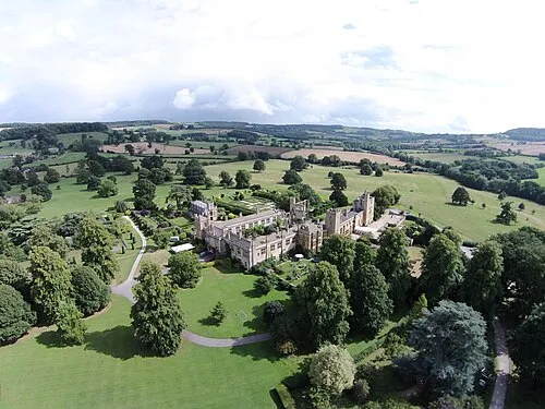 Sudeley Castle Historic site, Sudeley11 km N
-
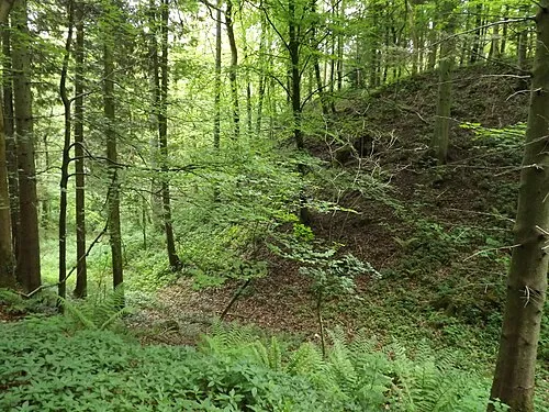 Miserden Castle Historic site, Miserden11 km SW
-
Leckhampton Hill Mountain, Shurdington7.7 km W
-
Cleeve Hill Mountain, Southam8.8 km N
-
Roel Hill Mountain, Hawling9.7 km N
-
Little Shardington Mediumwave Transmitter Landmark, Badgeworth11 km W
-
Clements Farm Mound Historic site, Miserden11 km SW
Sources & licences
Data last updated: