Stroud
Located in Gloucestershire, England Coordinates: 51°45′00″ N 2°12′00″ W
- Population
- 117,381
- 117.4K
- Elevation
- 83 m
- above sea level
- Local time
- UTC+00:00
- Europe/London · UTC+00:00
- Places inside
- 52
- listed under Stroud
About Stroud
Stroud is a municipality. Location: Gloucestershire, England. Population: 117,381. Elevation: 83 m.
In comparison
- No. 3 of 6 places in Gloucestershire by population
- Nearest larger town: Gloucester District, 11 km N
- 16 sights and natural places within 10 km Juniper Hill, Scottsquar Hill
- Listed here: Village: 52
Places in Stroud
52 places-
Alderley Village
-
Alkington Village
-
Arlingham Village
-
Berkeley Village
-
Bisley-with-Lypiatt Village
-
Brimscombe and Thrupp Village
-
Brookthorpe-with-Whaddon Village
-
Cainscross Village
-
Cam Village
-
Chalford Village
-
Coaley Village
-
Cranham Village
-
Dursley Village
-
Eastington Village
-
Elmore Village
-
Frampton on Severn Village
-
Fretherne with Saul Village
-
Frocester Village
-
Ham and Stone Village
-
Hamfallow Village
-
Hardwicke Village
-
Harescombe Village
-
Haresfield Village
-
Hillesley and Tresham Village
-
Hinton Village
-
Horsley Village
-
King's Stanley Village
-
Kingswood Village
-
Leonard Stanley Village
-
Longney and Epney Village
-
Minchinhampton Village
-
Miserden Village
-
Moreton Valence Village
-
Nailsworth Village
-
North Nibley Village
-
Nympsfield Village
-
Owlpen Village
-
Painswick Village
-
Pitchcombe Village
-
Randwick Village
-
Rodborough Village
-
Slimbridge Village
-
Standish Village
-
Stinchcombe Village
-
Stonehouse Village
-
Stroud Village
-
Uley Village
-
Upton St. Leonards Village
-
Whiteshill and Ruscombe Village
-
Whitminster Village
-
Woodchester Village
-
Wotton-under-Edge Village
Nearby attractions & nature
Everything nearby-
Caudle Green Historic site, Brimpsfield8.6 km NE
-
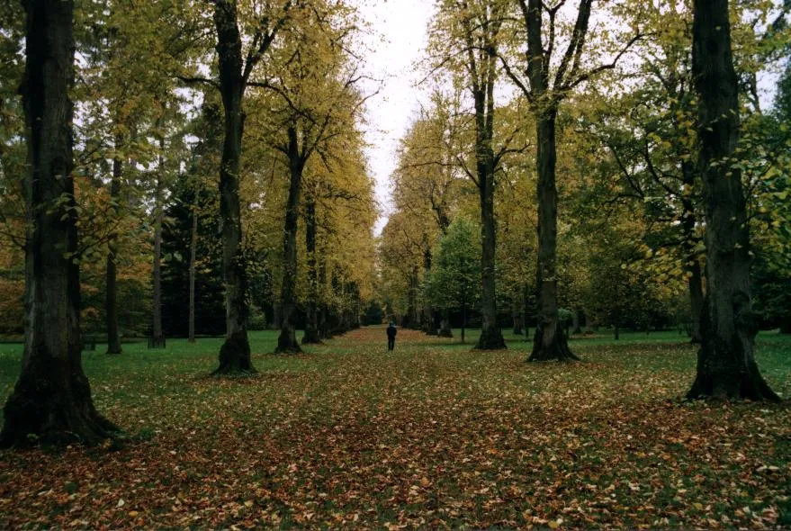 Westonbirt Arboretum Attraction, Westonbirt with Lasborough16 km S
-
Robins Wood Hill Mountain, Gloucester District9.6 km N
-
Lasborough Motte Historic site, Westonbirt with Lasborough12 km S
-
 Whaddon Road Landmark, Cheltenham20 km NE
-
Birdlip Hill Mountain, Cowley10 km NE
-
Emmas Grove Historic site, Coberley13 km NE
-
Brimpsfield Castle Historic site, Brimpsfield10 km NE
Other cities and towns in Gloucestershire
-
Stroud Town, Stroud<0.1 km N
-
Gloucester District Municipality, Gloucestershire11 km N
-
Cheltenham Municipality, Gloucestershire19 km NE
-
Cotswold District Municipality, Gloucestershire19 km NE
-
Chalford Town, Chalford4.3 km SE
-
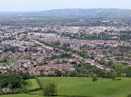 Cheltenham City, Cheltenham19 km NE
Sources & licences
Data last updated: