- Local time
- UTC+00:00
- Europe/London · UTC+00:00
- Elevation
- 7 m
- above sea level
- Airports
- LCY London City Airport2 km
- LHR London Heathrow Airport35 km
About The Valley
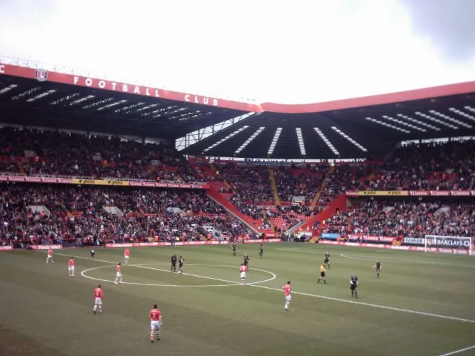
The Valley is a landmark. Location: Greenwich, Greater London.
The Valley is a football stadium in Charlton, London, England, with a capacity of 27,111, which has been the home of Charlton Athletic Football Club since 1919, with a period of exile between 1923 and 1924, and from 1985 to 1992. Charlton Athletic Women's Football Club has played all of their home matches at The Valley since 2024. The stadium is served by Charlton railway station, which is a three-minute walk away from the stadium. SL11, 486, 161, 177, 180, and 380 London Buses stop outside the stadium.
Source: Wikipedia · CC BY-SA 4.0
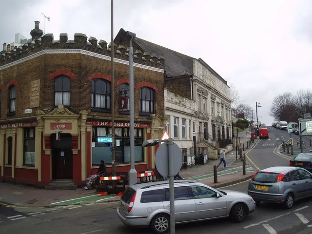
Photos of The Valley
-

KatmaiNPS · Public domain -

FromMorningToMidnight · CC BY-SA 4.0 -

Bill Boaden · CC BY-SA 2.0 -

Steve Daniels · CC BY-SA 2.0 -

Steve Daniels · CC BY-SA 2.0


Climate of The Valley
Best months for sightseeingBest months for sightseeing: June–August.
This month · November
A cold month
Day 11° · Night 4° · Rain 68 mm
- Hottest month
- July (day 23°)
- Coldest month
- February (night 2°)
- Wettest month
- January (70 mm)
- Driest month
- July (42 mm)
Bars: average monthly low and high temperature. Below: precipitation. Monthly averages for 1970–2000 at about 18 km resolution, adjusted for elevation. Highlighted months are mild and relatively dry. Source: WorldClim 2.1 (CC BY 4.0).
Show values as a table
| Month | Jan | Feb | Mar | Apr | May | Jun | Jul | Aug | Sep | Oct | Nov | Dec |
|---|---|---|---|---|---|---|---|---|---|---|---|---|
| Average high (°C) | 8° | 8° | 11° | 13° | 17° | 20° | 23° | 23° | 19° | 15° | 11° | 8° |
| Average low (°C) | 2° | 2° | 3° | 4° | 7° | 10° | 13° | 12° | 10° | 7° | 4° | 3° |
| Precipitation (mm) | 70 | 44 | 51 | 46 | 48 | 54 | 42 | 50 | 60 | 65 | 68 | 67 |
How to get to The Valley
The nearest airport is London City Airport (LCY), 2 km to the northeast as the crow flies. For international flights: London Heathrow Airport (LHR) (35 km). The nearest large city is Barking, 6 km to the northeast.
Airports
- London City Airport (LCY) London 2 kmnortheast
- London Heathrow Airport (LHR) London 35 kmwest
- London Gatwick Airport (LGW) London 41 kmsouth
Nearby large cities
- Barking Population: 218.5K 6 kmnortheast
- Ilford Population: 168.2K 8 kmnorth
- Bexley Population: 228K 9 kmsoutheast
- Islington Population: 319.1K 11 kmnorthwest
- Dagenham Population: 108.4K 11 kmnortheast
Straight-line distances; road distances are longer. Airport data: OurAirports.
Day trips from The Valley
Within 100 km: 819 historic and cultural sites, 590 natural sites, 322 lakes, rivers and coasts.
0–25 km391 places
- White Hart Lane Landmark 15 kmNW
- Lot's Ait Island 23 kmW
- Rook Island Island 9 kmN
- Glover's Island Island 24 kmW
25–60 km543 places
- Isle of Sheppey Island 56 kmE
- Spotlites @ Kings Theatre Attraction 36 kmE
- Yantlet beach Beach 44 kmE
- Osea Island Island 57 kmNE
60–100 km797 places
- St Nicholas Church Shoreham Attraction 75 kmS
- The Marlipins Museum Museum 76 kmS
- Camber Sands Beach 81 kmSE
- West Mersea Beach Beach 70 kmNE
Straight-line distances.
Nearby attractions & nature
Everything nearby-
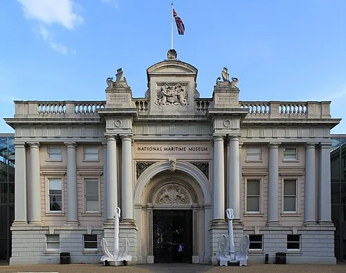 National Maritime Museum Museum, Greenwich2.9 km W
-
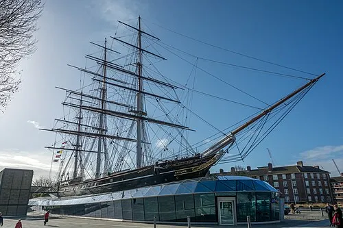 Cutty Sark Museum, Greenwich3.2 km W
-
North Woolwich Old Station Museum Museum, Newham2.3 km NE
-
General James Wolfe Statue Landmark, Greenwich2.8 km W
-
Royal Observatory Attraction, Greenwich2.8 km SW
-
Diddy Harrison Planetarium Museum, Greenwich2.8 km SW
-
Queen's House Museum, Greenwich2.8 km W
-
National Maritime Museum Gardens Attraction, Greenwich2.9 km W
Nearest towns and villages

Sources & licences
Data last updated: · 2 independent sources