- Population
- 10,000
- 10K
- Elevation
- 19 m
- above sea level
- Local time
- UTC+00:00
- Europe/London · UTC+00:00
- Airports
- LCY London City Airport15 km
- SEN London Southend Airport30 km
About Upminster
Upminster is a town. Location: Havering, Greater London. Population: 10,000. Elevation: 19 m.
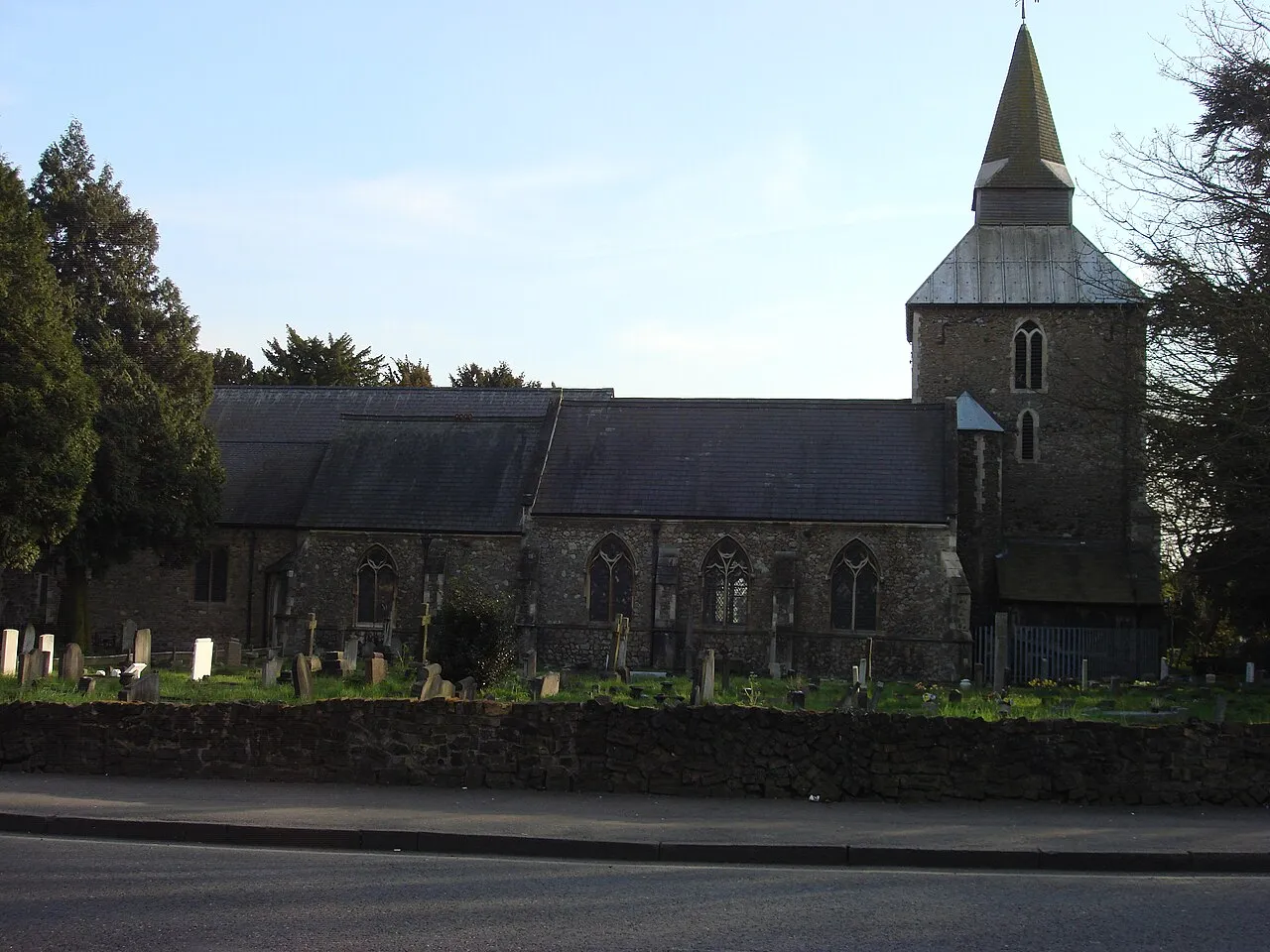
Upminster is a suburb in East London, England, located 16.5 miles (26.6 km) northeast of Charing Cross. Part of the London Borough of Havering, it is one of the locally important district centres identified in the London Plan. It comprises a number of shopping streets and a large residential area. It was historically a rural village and formed an ancient parish in the county of Essex. Upminster was first connected to central London by rail in 1885 and has a terminal station on the London Underground network.
Source: Wikipedia · CC BY-SA 4.0
Photos of Upminster
-

Hugh Llewelyn · CC BY-SA 4.0 -

Aubrey · CC BY 2.0 -

Marathon · CC BY-SA 2.0 -

Ewan-M · CC BY-SA 4.0 -

Des Blenkinsopp · CC BY-SA 2.0


Places bordering Upminster
- Aveley
Climate of Upminster
Best months for sightseeingBest months for sightseeing: June–August.
This month · November
A cold month
Day 10° · Night 4° · Rain 61 mm
- Hottest month
- July (day 22°)
- Coldest month
- February (night 1°)
- Wettest month
- January (61 mm)
- Driest month
- February (38 mm)
Bars: average monthly low and high temperature. Below: precipitation. Monthly averages for 1970–2000 at about 18 km resolution, adjusted for elevation. Highlighted months are mild and relatively dry. Source: WorldClim 2.1 (CC BY 4.0).
Show values as a table
| Month | Jan | Feb | Mar | Apr | May | Jun | Jul | Aug | Sep | Oct | Nov | Dec |
|---|---|---|---|---|---|---|---|---|---|---|---|---|
| Average high (°C) | 7° | 8° | 10° | 13° | 17° | 20° | 22° | 22° | 19° | 15° | 10° | 8° |
| Average low (°C) | 2° | 1° | 3° | 4° | 7° | 10° | 12° | 12° | 10° | 7° | 4° | 3° |
| Precipitation (mm) | 61 | 38 | 46 | 42 | 46 | 51 | 42 | 49 | 56 | 59 | 61 | 58 |
How to get to Upminster
The nearest airport is London City Airport (LCY), 15 km to the west as the crow flies. For international flights: London Stansted Airport (STN) (37 km). The nearest large city is Dagenham, 6 km to the west.
Airports
- London City Airport (LCY) London 15 kmwest
- London Southend Airport (SEN) Southend-on-Sea, Essex 30 kmeast
- London Stansted Airport (STN) London, Essex 37 kmnorth
Nearby large cities
- Dagenham Population: 108.4K 6 kmwest
- Barking Population: 218.5K 12 kmwest
- Ilford Population: 168.2K 13 kmwest
- Basildon Population: 144.9K 14 kmeast
- Bexley Population: 228K 15 kmsouthwest
Straight-line distances; road distances are longer. Airport data: OurAirports.
Day trips from Upminster
Within 100 km: 804 historic and cultural sites, 531 natural sites, 317 lakes, rivers and coasts.
0–25 km187 places
- White Hart Lane Landmark 23 kmW
- Canvey Island Island 23 kmE
- Rook Island Island 15 kmW
- Lower Horse Island 20 kmE
25–60 km664 places
- Isle of Sheppey Island 44 kmSE
- Spotlites @ Kings Theatre Attraction 27 kmSE
- West Mersea Beach Beach 53 kmNE
- Yantlet beach Beach 30 kmE
60–100 km801 places
- St Nicholas Church Shoreham Attraction 88 kmSW
- The Marlipins Museum Museum 89 kmSW
- Camber Sands Beach 79 kmSE
- Sunny Sands Beach 84 kmSE
Straight-line distances.
Nearby attractions & nature
Everything nearby-
 Victoria Road Landmark, Barking and Dagenham6.7 km W
-
Brentwood Park Mountain, Brentwood District5.4 km NE
-
Sandy Lane Pit Mountain, Thurrock5.6 km S
-
Havering Atte Bower farm Mountain, Havering8.1 km NW
-
Havering Atte Bower church Mountain, Havering8.4 km NW
-
Pirgo Historic site, Havering8.2 km NW
-
Marks Gate Mountain, Barking and Dagenham8.7 km NW
-
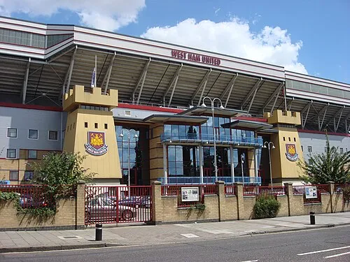 Upton Park Landmark, Newham15 km W
Sources & licences
Data last updated: · 2 independent sources