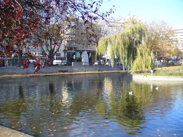
- Population
- 63,368
- 63.4K
- Elevation
- 22 m
- above sea level
- Local time
- UTC+00:00
- Europe/London · UTC+00:00
- Airports
- LHR London Heathrow Airport4 km
- LCY London City Airport33 km
About Feltham
Feltham is a town. Location: Hounslow, Greater London. Population: 63,368. Elevation: 22 m.
Feltham () is a town in West London, England, 13.5 miles (21.7 km) from Charing Cross. Historically part of Middlesex, it became part of the London Borough of Hounslow in 1965. The parliamentary constituency of Feltham and Heston has been held by Labour Party MPs since 1992. In 2011, the population of the combined census area of Feltham, Bedfont and Hanworth was 63,368. The economy of the town was largely agrarian until the early twentieth century, when it was transformed by the expansion of the London urban area.
Source: Wikipedia · CC BY-SA 4.0
At a glance
- Area
- 6.6 km²
Source: Wikidata
Photos of Feltham
-

Des Blenkinsopp · CC BY-SA 2.0 -

Adam Olesiuk · CC BY-SA 3.0 -

Maxwell Hamilton · CC BY 2.0 -

Maxwell Hamilton · CC BY-SA 3.0 -

Au Morandarte from London, Middlesex, England · CC BY-SA 2.0


Climate of Feltham
Best months for sightseeingBest months for sightseeing: June–August.
This month · November
A cold month
Day 11° · Night 4° · Rain 58 mm
- Hottest month
- July (day 23°)
- Coldest month
- February (night 2°)
- Wettest month
- October (62 mm)
- Driest month
- February (38 mm)
Bars: average monthly low and high temperature. Below: precipitation. Monthly averages for 1970–2000 at about 18 km resolution, adjusted for elevation. Highlighted months are mild and relatively dry. Source: WorldClim 2.1 (CC BY 4.0).
Show values as a table
| Month | Jan | Feb | Mar | Apr | May | Jun | Jul | Aug | Sep | Oct | Nov | Dec |
|---|---|---|---|---|---|---|---|---|---|---|---|---|
| Average high (°C) | 8° | 8° | 11° | 13° | 17° | 21° | 23° | 23° | 19° | 15° | 11° | 9° |
| Average low (°C) | 2° | 2° | 3° | 5° | 8° | 11° | 13° | 13° | 10° | 7° | 4° | 3° |
| Precipitation (mm) | 59 | 38 | 45 | 44 | 48 | 51 | 40 | 48 | 56 | 62 | 58 | 59 |
How to get to Feltham
The nearest airport is London Heathrow Airport (LHR), 4 km to the northwest as the crow flies. The nearest large city is Slough, 14 km to the northwest.
Airports
- London Heathrow Airport (LHR) London 4 kmnorthwest
- London City Airport (LCY) London 33 kmeast
- London Gatwick Airport (LGW) London 37 kmsoutheast
Nearby large cities
- Slough Population: 164.8K 14 kmnorthwest
- Harrow Population: 149.2K 16 kmnorth
- Woking Population: 103.9K 17 kmsouthwest
- Sutton Population: 187.6K 18 kmsoutheast
- City of Westminster Population: 247.6K 20 kmeast
Straight-line distances; road distances are longer. Airport data: OurAirports.
Day trips from Feltham
Within 100 km: 862 historic and cultural sites, 650 natural sites, 320 lakes, rivers and coasts.
0–25 km428 places
- Holm Island Island 8 kmW
- Sunbury Court Island 4 kmS
- Rivermead Island 4 kmS
- Lot's Ait Island 9 kmNE
25–60 km559 places
- White Hart Lane Landmark 30 kmNE
- The Lynch Island 34 kmW
- Wargrave Island Island 33 kmW
- Loddon Island Island 32 kmW
60–100 km845 places
- Portsea Island Natural site 85 kmSW
- Isle of Sheppey Island 87 kmE
- Spotlites @ Kings Theatre Attraction 66 kmE
- St Nicholas Church Shoreham Attraction 68 kmS
Straight-line distances.
Feltham and similar cities
Side by side with cities of similar size in the same country: population, elevation and climate.
| Measure | Feltham | Newtownabbey | Taunton | Widnes |
|---|---|---|---|---|
| Population | 63.4K | 63.9K | 64.6K | 61.5K |
| Elevation | 22 m | 15 m | 22 m | 13 m |
| Summer day (hottest month) | 23° | 20° | 21° | 20° |
| Winter night (coldest month) | 2° | 1° | 3° | 2° |
| Annual rainfall | 608 mm | 880 mm | 954 mm | 823 mm |
| Best months | Jun–Aug | Jun–Aug | Jun–Aug | Jun–Aug |
| Distance | — | 513 km | 194 km | 265 km |
Climate values are 1970–2000 monthly averages; straight-line distance.
Nearby attractions & nature
Everything nearby-
Crane Park Island Island, Richmond upon Thames2.5 km E
-
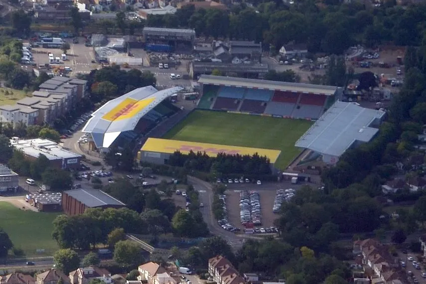 The Stoop Landmark, Richmond upon Thames4.9 km E
-
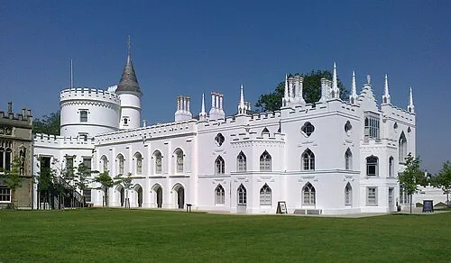 Strawberry Hill House Museum, Richmond upon Thames5.6 km E
-
Cranford Bridge Historic site, Hounslow3.9 km N
-
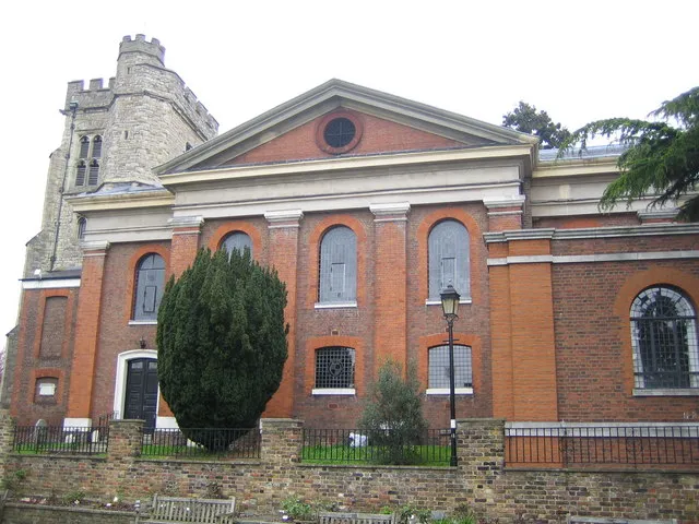 St Mary's Church Attraction, Richmond upon Thames6.2 km E
-
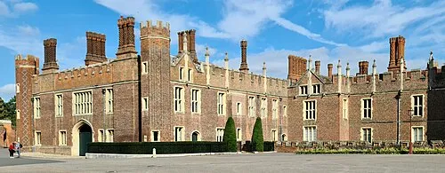 Hampton Court Palace Historic site, Richmond upon Thames7.2 km SE
-
The Vale (Heston) Mountain, Hounslow4.9 km NE
-
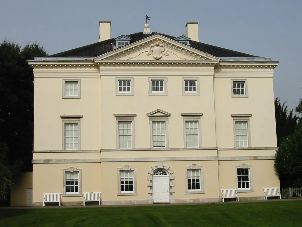 Marble Hill House Museum, Richmond upon Thames7 km E
Other cities and towns in Hounslow
Sources & licences
Data last updated: · 2 independent sources