Lambeth
Located in Greater London, England Coordinates: 51°25′00″ N 0°08′00″ W
- Population
- 327,910
- 327.9K
- Elevation
- 34 m
- above sea level
- Local time
- UTC+00:00
- Europe/London · UTC+00:00
- Places inside
- 53
- listed under Lambeth
About Lambeth
Lambeth is a municipality. Location: Greater London, England. Population: 327,910. Elevation: 34 m.
In comparison
- No. 8 of 34 places in Greater London by population
- Nearest larger town: Croydon, 5 km SE
- 94 sights and natural places within 10 km Cranmer Green, Crystal Palace
- Listed here: Neighbourhood: 30, Attraction: 7, Landmark: 6, Village: 5
Airports nearest to Lambeth
- London City Airport (LCY) London 16 km
- London Heathrow Airport (LHR) London 23 km
- London Gatwick Airport (LGW) London 30 km
Straight-line distance; airports with scheduled flights only. Source: OurAirports (public domain).
Places in Lambeth
53 places-
Brixton Neighbourhood66.3K
-
Streatham Town58.1K
-
Clapham Neighbourhood48.5K
-
Lambeth Neighbourhood6K
-
Oval Neighbourhood15.1K
-
Vauxhall Village14.3K
-
Gipsy Hill Neighbourhood13.7K
-
Brixton Hill Town12.5K
-
Bishop's Neighbourhood
-
British Film Institute (BFI) Attraction
-
Brit Oval Landmark
-
Brockwell Park Neighbourhood
-
Clapham Common Neighbourhood
-
Clapham North Village
-
Clapham Park Neighbourhood
-
Clapham Town Neighbourhood
-
Coldharbour Neighbourhood
-
Ferndale Neighbourhood
-
Golden Jubilee Bridges Landmark
-
Hayward Gallery Museum
-
Herne Hill Neighbourhood
-
IMAX Cinema Attraction
-
Kennington Park Natural site
-
Knight's Hill Neighbourhood
-
Lambeth Palace Landmark
-
Larkhall Neighbourhood
-
London Dungeon Museum
-
National Theatre Attraction
-
Old Vic Theatre Attraction
-
Poynders Parade Village
-
Prince's Neighbourhood
-
Ritzy Attraction
-
Royal National Theatre Attraction
-
South Bank Neighbourhood
-
South Lambeth Neighbourhood
-
St. Leonard's Neighbourhood
-
Stockwell Neighbourhood
-
Stockwell Neighbourhood
-
Streatham Hill Village
-
Streatham South Neighbourhood
-
Streatham Wells Neighbourhood
-
The Oval Landmark
-
Thornton Neighbourhood
-
Thurlow Park Neighbourhood
-
Tulse Hill Neighbourhood
-
Union Mews Village
-
Vassall Neighbourhood
-
Waterloo Neighbourhood
-
Waterloo Bridge Landmark
-
West Dulwich Neighbourhood
-
West Norwood Neighbourhood
-
Young Vic theatre Attraction
Nearby attractions & nature
Everything nearby-
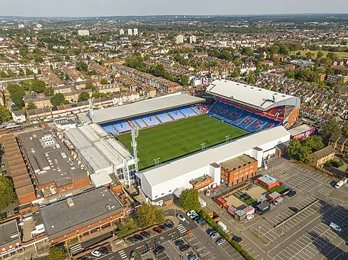 Selhurst Park Landmark, Croydon3.9 km SE
-
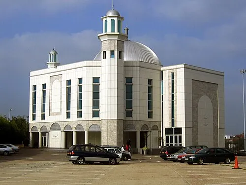 Baitul Futuh Mosque Attraction, Merton5.1 km SW
-
Cranmer Green Natural site, Merton2.8 km SW
-
Crystal Palace Mountain, Croydon3.4 km E
-
Croydon Transmitting Station Landmark, Croydon3.4 km E
-
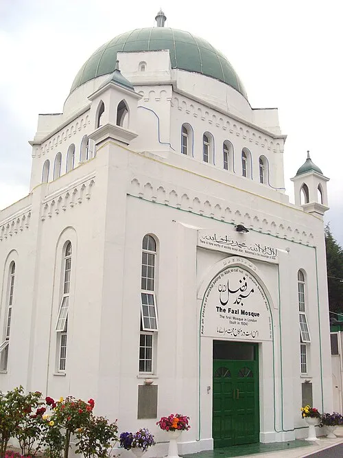 Fazl Mosque Attraction, Wandsworth6.4 km NW
-
Chrystal Palace Transmitting Station Landmark, Bromley4.1 km E
-
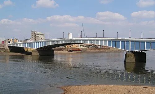 Wandsworth Bridge Landmark, Hammersmith and Fulham6.6 km NW
Other cities and towns in Greater London
-
Croydon Municipality, Greater London4.8 km SE
-
Wandsworth Municipality, Greater London6 km NW
-
Southwark Municipality, Greater London7.6 km NE
-
Sutton Municipality, Greater London7.7 km SW
-
Lewisham Municipality, Greater London9 km NE
-
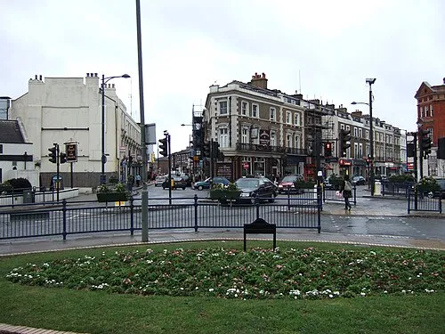 Crystal Palace Town, Bromley3.8 km E
Sources & licences
Data last updated: