
- Population
- 14,262
- 14.3K
- Elevation
- 11 m
- above sea level
- Local time
- UTC+00:00
- Europe/London · UTC+00:00
- Airports
- LCY London City Airport13 km
- LHR London Heathrow Airport24 km
About Vauxhall
Vauxhall is a village. Location: Lambeth, Greater London. Population: 14,262. Elevation: 11 m.
Vauxhall ( VOKS-(h)awl, -əl) is an area of South London, within the London Borough of Lambeth. Named after a medieval manor called Fox Hall, it became well known for the Vauxhall Pleasure Gardens. From the Victorian period until the mid-20th century, Vauxhall was a mixed industrial and residential area, of predominantly manual workers' homes – many demolished and replaced by Lambeth Council with social housing after the Second World War – and business premises, including large railway, gas, and water works.
Source: Wikipedia · CC BY-SA 4.0
Photos of Vauxhall
-
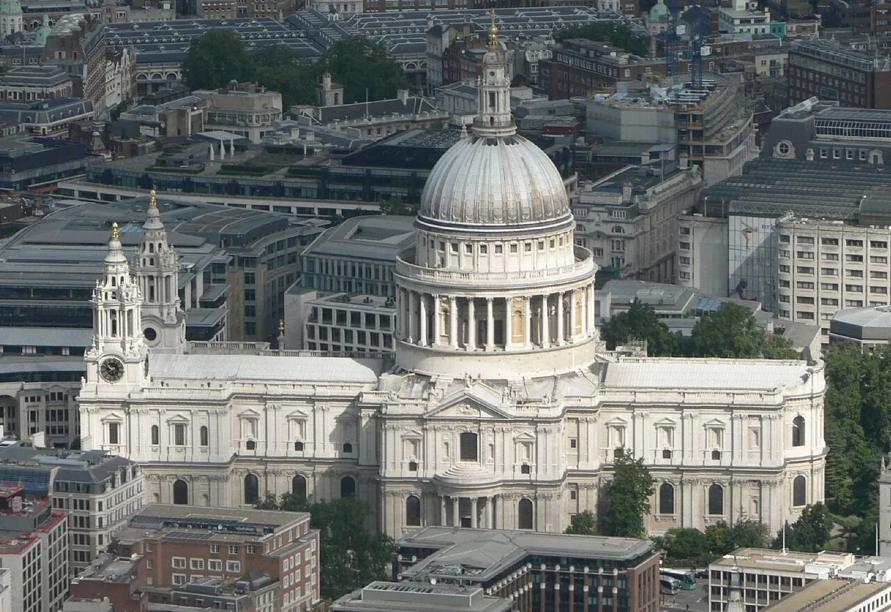
St Paul's Cathedral Mark Fosh · CC BY 2.0 -
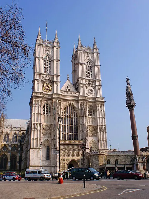
Westminster Abbey Σπάρτακος · CC BY-SA 3.0 -
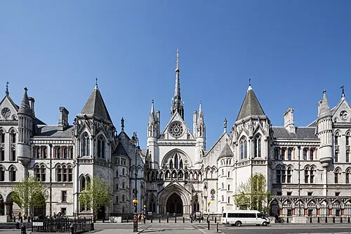
Royal Courts of Justice This image was produced by me, David Castor · CC0 -
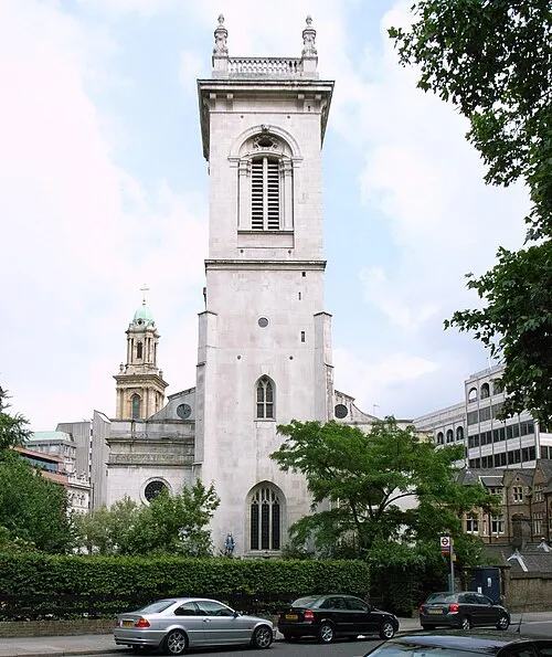
St Andrew, Holborn Steve Cadman from London, U.K · CC BY-SA 2.0 -
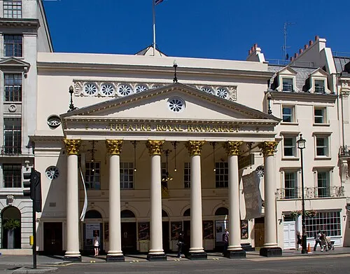
Theatre Royal Haymarket Tony Hisgett from Birmingham, UK · CC BY 2.0


Places bordering Vauxhall
- Elephant and Castle
Climate of Vauxhall
Best months for sightseeingBest months for sightseeing: June–August.
This month · November
A cold month
Day 11° · Night 4° · Rain 66 mm
- Hottest month
- July (day 23°)
- Coldest month
- February (night 2°)
- Wettest month
- January (68 mm)
- Driest month
- February (43 mm)
Bars: average monthly low and high temperature. Below: precipitation. Monthly averages for 1970–2000 at about 18 km resolution, adjusted for elevation. Highlighted months are mild and relatively dry. Source: WorldClim 2.1 (CC BY 4.0).
Show values as a table
| Month | Jan | Feb | Mar | Apr | May | Jun | Jul | Aug | Sep | Oct | Nov | Dec |
|---|---|---|---|---|---|---|---|---|---|---|---|---|
| Average high (°C) | 8° | 8° | 11° | 13° | 18° | 21° | 23° | 23° | 19° | 15° | 11° | 9° |
| Average low (°C) | 2° | 2° | 3° | 4° | 7° | 10° | 13° | 13° | 10° | 7° | 4° | 3° |
| Precipitation (mm) | 68 | 43 | 51 | 46 | 49 | 55 | 43 | 50 | 59 | 65 | 66 | 66 |
How to get to Vauxhall
The nearest airport is London City Airport (LCY), 13 km to the east as the crow flies. For international flights: London Heathrow Airport (LHR) (24 km). The nearest large city is City of Westminster, 2 km to the northwest.
Airports
- London City Airport (LCY) London 13 kmeast
- London Heathrow Airport (LHR) London 24 kmwest
- London Gatwick Airport (LGW) London 38 kmsouth
Nearby large cities
- City of Westminster Population: 247.6K 2 kmnorthwest
- London Population: 9M 3 kmnorth
- Islington Population: 319.1K 6 kmnorth
- Archway Population: 215.7K 9 kmnorth
- Croydon Population: 173.3K 12 kmsouth
Straight-line distances; road distances are longer. Airport data: OurAirports.
Day trips from Vauxhall
Within 100 km: 823 historic and cultural sites, 587 natural sites, 324 lakes, rivers and coasts.
0–25 km435 places
- White Hart Lane Landmark 14 kmN
- Sunbury Court Island 21 kmSW
- Rivermead Island 21 kmSW
- Lot's Ait Island 12 kmW
25–60 km569 places
- Spotlites @ Kings Theatre Attraction 47 kmE
- Yantlet beach Beach 55 kmE
- The Lynch Island 54 kmW
- Isle of Grain Island 57 kmE
60–100 km730 places
- Isle of Sheppey Island 67 kmE
- St Nicholas Church Shoreham Attraction 73 kmS
- The Marlipins Museum Museum 74 kmS
- Camber Sands Beach 89 kmSE
Straight-line distances.
Nearby attractions & nature
Everything nearby-
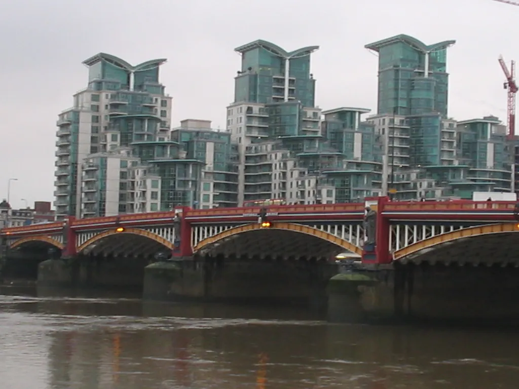 Vauxhall Landmark, City of Westminster0.4 km NW
-
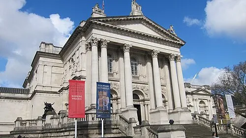 Tate Gallery Museum, City of Westminster0.6 km NW
-
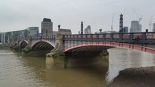 Lambeth Bridge Landmark, City of Westminster1 km N
-
Westminster Abbey Attraction, City of Westminster1.6 km N
-
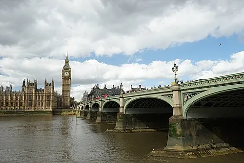 Westminster Bridge Landmark, City of Westminster1.7 km N
-
Brit Oval Landmark, Lambeth0.5 km SE
Other cities and towns in Lambeth
-
 Clapham Neighbourhood, Lambeth2.8 km S
-
 South Bank Neighbourhood, Lambeth1.9 km N
-
Gipsy Hill Neighbourhood, Lambeth6.8 km S
-
 Waterloo Neighbourhood, Lambeth2.2 km N
-
Prince's Neighbourhood, Lambeth0.7 km NE
-
South Lambeth Neighbourhood, Lambeth0.9 km S
Sources & licences
Data last updated: · 2 independent sources