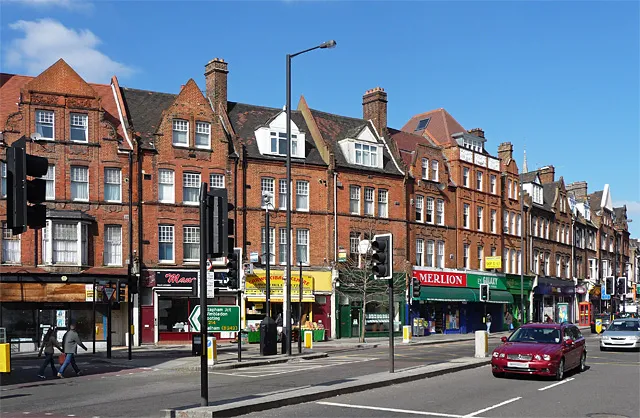
- Population
- 58,055
- 58.1K
- Elevation
- 54 m
- above sea level
- Local time
- UTC+00:00
- Europe/London · UTC+00:00
- Airports
- LCY London City Airport16 km
- LHR London Heathrow Airport23 km
About Streatham
Streatham is a town. Location: Lambeth, Greater London. Population: 58,055. Elevation: 54 m.
Streatham ( STRET-əm) is a district in south London in England that lies five miles (eight kilometres) south of Charing Cross. It falls mostly within the London Borough of Lambeth, with some parts extending westward into the neighbouring London Borough of Wandsworth. Streatham formed part of Surrey before becoming part of the County of London in 1889, and then of Greater London in 1965. The London Plan identifies the area as one of 35 major centres in Greater London.
Source: Wikipedia · CC BY-SA 4.0
Photos of Streatham
-

Rwendland · CC BY-SA 4.0 -

David Howard · CC BY-SA 2.0 -

Stacey Harris · CC BY-SA 2.0 -

Matt From London · CC BY 4.0 -

Philkai1 · CC BY-SA 3.0


Places bordering Streatham
- Herne Hill
Climate of Streatham
Best months for sightseeingBest months for sightseeing: June–August.
This month · November
A cold month
Day 11° · Night 4° · Rain 66 mm
- Hottest month
- July (day 23°)
- Coldest month
- February (night 2°)
- Wettest month
- January (68 mm)
- Driest month
- February (43 mm)
Bars: average monthly low and high temperature. Below: precipitation. Monthly averages for 1970–2000 at about 18 km resolution, adjusted for elevation. Highlighted months are mild and relatively dry. Source: WorldClim 2.1 (CC BY 4.0).
Show values as a table
| Month | Jan | Feb | Mar | Apr | May | Jun | Jul | Aug | Sep | Oct | Nov | Dec |
|---|---|---|---|---|---|---|---|---|---|---|---|---|
| Average high (°C) | 8° | 8° | 11° | 13° | 17° | 20° | 23° | 23° | 19° | 15° | 11° | 8° |
| Average low (°C) | 2° | 2° | 3° | 4° | 7° | 10° | 13° | 12° | 10° | 7° | 4° | 3° |
| Precipitation (mm) | 68 | 43 | 51 | 46 | 49 | 55 | 43 | 50 | 59 | 65 | 66 | 66 |
How to get to Streatham
The nearest airport is London City Airport (LCY), 16 km to the northeast as the crow flies. For international flights: London Heathrow Airport (LHR) (23 km). The nearest large city is Croydon, 6 km to the southeast.
Airports
- London City Airport (LCY) London 16 kmnortheast
- London Heathrow Airport (LHR) London 23 kmwest
- London Gatwick Airport (LGW) London 31 kmsouth
Nearby large cities
- Croydon Population: 173.3K 6 kmsoutheast
- City of Westminster Population: 247.6K 8 kmnorth
- London Population: 9M 9 kmnorth
- Sutton Population: 187.6K 10 kmsouthwest
- Islington Population: 319.1K 12 kmnorth
Straight-line distances; road distances are longer. Airport data: OurAirports.
Day trips from Streatham
Within 100 km: 822 historic and cultural sites, 596 natural sites, 326 lakes, rivers and coasts.
0–25 km453 places
- White Hart Lane Landmark 20 kmN
- Sunbury Court Island 18 kmW
- Rivermead Island 19 kmW
- Lot's Ait Island 13 kmNW
25–60 km516 places
- Spotlites @ Kings Theatre Attraction 46 kmE
- Yantlet beach Beach 56 kmE
- The Lynch Island 53 kmW
- Isle of Grain Island 58 kmE
60–100 km775 places
- Portsea Island Natural site 96 kmSW
- Isle of Sheppey Island 67 kmE
- St Nicholas Church Shoreham Attraction 66 kmS
- The Marlipins Museum Museum 67 kmS
Straight-line distances.
Streatham and similar cities
Side by side with cities of similar size in the same country: population, elevation and climate.
| Measure | Streatham | Wallasey | Craigavon | Livingston |
|---|---|---|---|---|
| Population | 58.1K | 58.8K | 59.2K | 56.8K |
| Elevation | 54 m | 14 m | 34 m | 157 m |
| Summer day (hottest month) | 23° | 20° | 19° | 19° |
| Winter night (coldest month) | 2° | 2° | 2° | 1° |
| Annual rainfall | 661 mm | 722 mm | 1,020 mm | 1,122 mm |
| Best months | Jun–Aug | Jun–Aug | Jun–Aug | Jun–Aug |
| Distance | — | 298 km | 538 km | 546 km |
Climate values are 1970–2000 monthly averages; straight-line distance.
Nearby attractions & nature
Everything nearby-
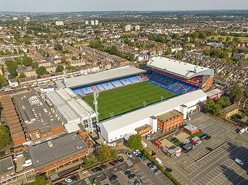 Selhurst Park Landmark, Croydon4.7 km SE
-
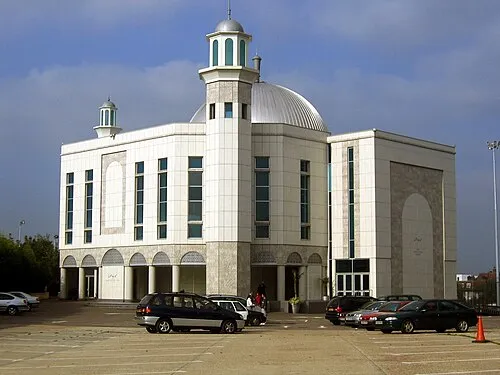 Baitul Futuh Mosque Attraction, Merton5.9 km SW
-
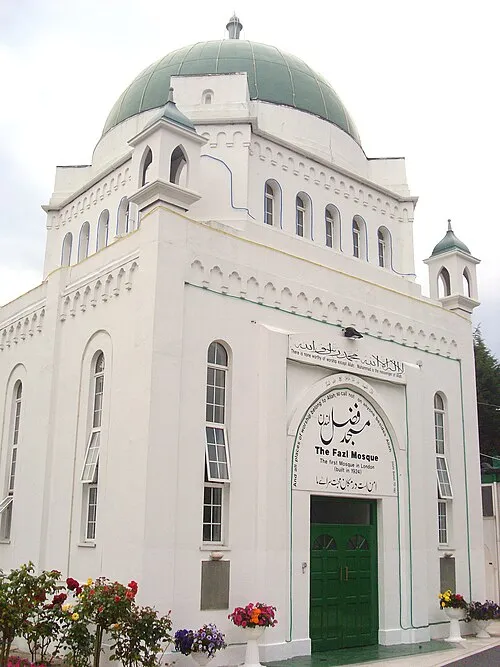 Fazl Mosque Attraction, Wandsworth5.8 km NW
-
Ritzy Attraction, Lambeth3.8 km N
-
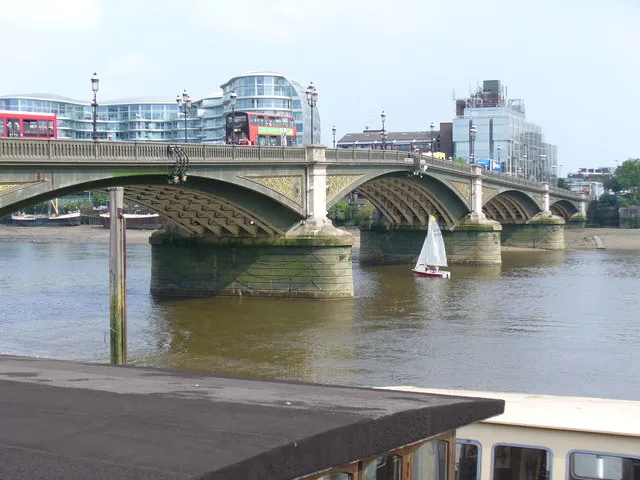 Battersea Bridge Landmark, Wandsworth6.5 km NW
-
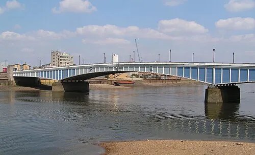 Wandsworth Bridge Landmark, Hammersmith and Fulham5.6 km NW
-
Crystal Palace Mountain, Croydon3.8 km SE
-
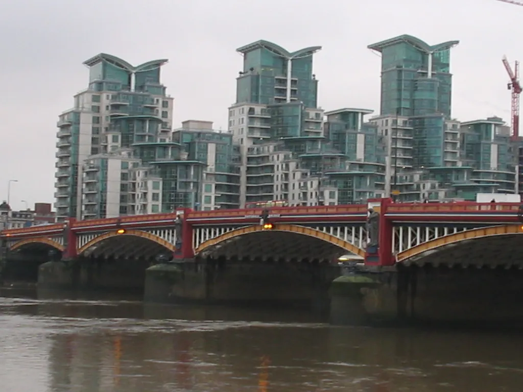 Vauxhall Landmark, City of Westminster6.5 km N
Sources & licences
Data last updated: · 2 independent sources