Netley Castle
Located in Hound, Eastleigh District Coordinates: 50°52′39″ N 1°21′37″ W
- Local time
- UTC+00:00
- Europe/London · UTC+00:00
- Elevation
- 1 m
- above sea level
- Airports
- SOU Southampton Airport8 km
- BOH Bournemouth Airport35 km
About Netley Castle
Netley Castle is a historic site. Location: Hound, Eastleigh District.
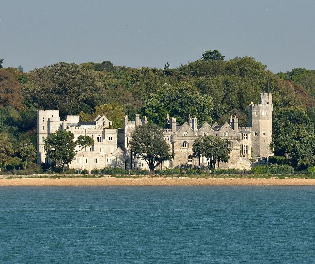
Netley Castle is a former artillery fort constructed in either 1542 or 1544 by Henry VIII in the village of Netley, Hampshire. It formed part of the King's Device programme to protect against invasion from France and the Holy Roman Empire, and it defended Southampton Water near the Solent. The castle included a central, stone keep with two flanking gun platforms and was garrisoned by ten men. It was decommissioned during the English Civil War and by 1743 it was overgrown and in ruins.
Source: Wikipedia · CC BY-SA 4.0
At a glance
- Built
- 1542
- Heritage designation
- scheduled monument, Grade II* listed building
Source: Wikidata
Photos of Netley Castle
-

geni · CC BY-SA 4.0 -

Nunnethan · CC BY-SA 4.0 -

Nilfanion · CC BY-SA 3.0 -

Terry Robinson · CC BY-SA 2.0 -

Hermann Muthesius · Public domain


Climate of Netley Castle
Best months for sightseeingBest months for sightseeing: June–August.
This month · November
A cold month
Day 11° · Night 5° · Rain 87 mm
- Hottest month
- July (day 22°)
- Coldest month
- February (night 3°)
- Wettest month
- November (87 mm)
- Driest month
- July (38 mm)
Bars: average monthly low and high temperature. Below: precipitation. Monthly averages for 1970–2000 at about 18 km resolution, adjusted for elevation. Highlighted months are mild and relatively dry. Source: WorldClim 2.1 (CC BY 4.0).
Show values as a table
| Month | Jan | Feb | Mar | Apr | May | Jun | Jul | Aug | Sep | Oct | Nov | Dec |
|---|---|---|---|---|---|---|---|---|---|---|---|---|
| Average high (°C) | 8° | 8° | 11° | 13° | 17° | 20° | 22° | 22° | 19° | 15° | 11° | 9° |
| Average low (°C) | 3° | 3° | 4° | 5° | 8° | 11° | 13° | 13° | 11° | 8° | 5° | 4° |
| Precipitation (mm) | 84 | 58 | 61 | 47 | 46 | 55 | 38 | 52 | 67 | 78 | 87 | 85 |
How to get to Netley Castle
The nearest airport is Southampton Airport (SOU), 8 km to the north as the crow flies. For international flights: London Gatwick Airport (LGW) (88 km). The nearest large city is Southampton, 4 km to the northwest.
Airports
- Southampton Airport (SOU) Southampton 8 kmnorth
- Bournemouth Airport (BOH) Bournemouth 35 kmwest
- London Gatwick Airport (LGW) London 88 kmeast
Nearby large cities
- Southampton Population: 269.8K 4 kmnorthwest
- Portsmouth Population: 208.1K 21 kmsoutheast
- Bournemouth Population: 163.6K 41 kmsouthwest
- Basingstoke Population: 107.6K 47 kmnortheast
- Poole Population: 151.5K 48 kmwest
Straight-line distances; road distances are longer. Airport data: OurAirports.
Day trips from Netley Castle
Within 100 km: 361 historic and cultural sites, 684 natural sites, 222 lakes, rivers and coasts.
0–25 km126 places
- Portsea Island Natural site 22 kmSE
- Isle of Wight Island 23 kmS
- Calshot Beach Beach 8 kmSE
- Whale Island Island 20 kmE
25–60 km384 places
- Brownsea Island Island 48 kmSW
- Avon Beach Beach 31 kmSW
- Studland Beach Beach 48 kmSW
- Climping Beach Beach 56 kmE
60–100 km757 places
- St Nicholas Church Shoreham Attraction 76 kmE
- The Marlipins Museum Museum 76 kmE
- Chesil Beach Beach 89 kmW
- Man O'War Beach Beach 70 kmSW
Straight-line distances.
Nearby attractions & nature
Everything nearby-
Netley Abbey Historic site, Hound0.2 km NE
-
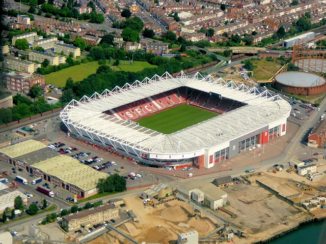 St Mary's Stadium Landmark, Southampton3.8 km NW
-
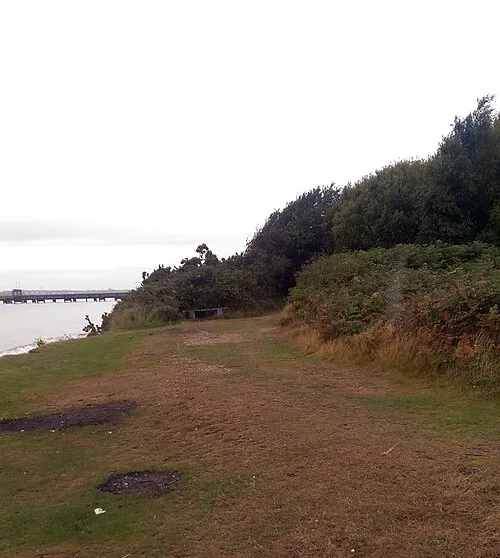 St Andrews Castle Historic site, Hamble-le-Rice4 km SE
-
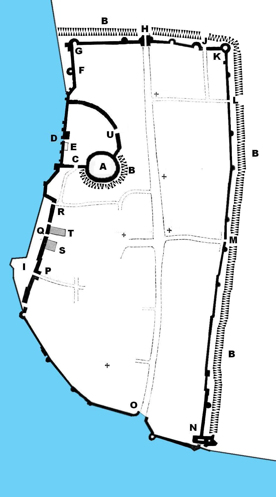 Southampton Castle Historic site, Southampton4 km NW
-
Southampton Town Wall and Gods House Tower Landmark, Southampton3.6 km NW
-
River Itchen River, England2.3 km NW
-
Bitterne Landmark, Southampton4.8 km N
-
Veals Farm Mediumwave Transmitter Landmark, Hythe and Dibden5.4 km W
Nearest towns and villages
-
Netley Town, Hound0.5 km SE
-
 Woolston Neighbourhood, Southampton2.1 km NW
-
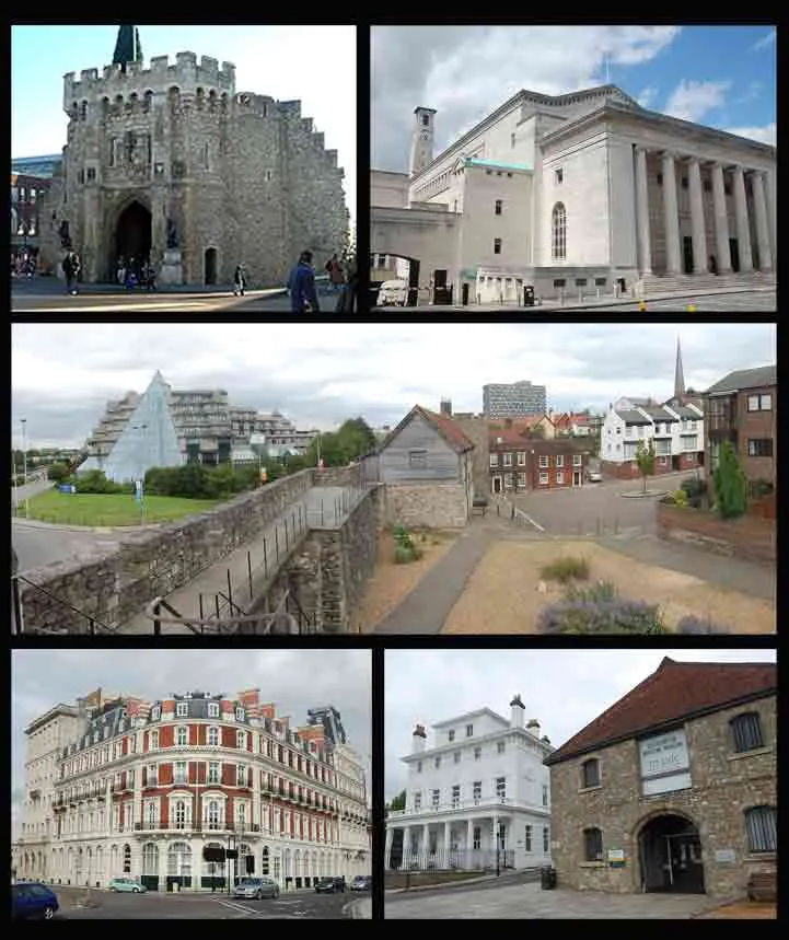 Southampton City, Southampton4.3 km NW
-
Bursledon Town, Bursledon3.3 km E
Sources & licences
Data last updated: · 2 independent sources